[MAP] PROVINCIA OXONIENSIS | OXFORD-SHIRE
![[MAP] PROVINCIA OXONIENSIS | OXFORD-SHIRE](https://d3525k1ryd2155.cloudfront.net/h/751/832/1109832751.0.x.jpg)
- Amsterdam: Joannes Janssonius, 1644
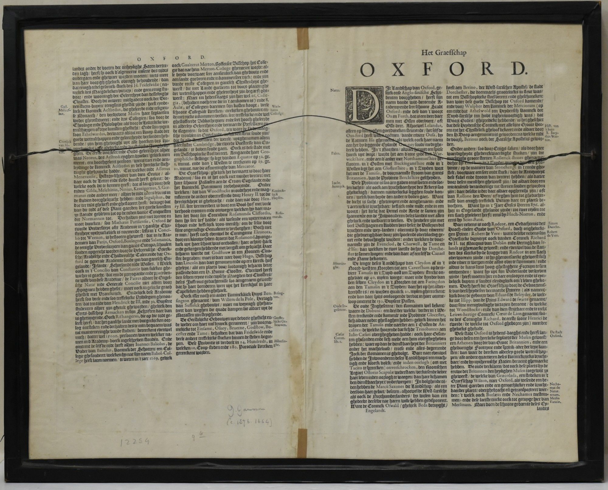
Amsterdam: Joannes Janssonius, 1644. Very Good binding. A map of Oxfordshire, with text from the atlas in Dutch and Fraktur on the verso. The map is hand-colored, with a bar scale in "Milliaria Anglica" and "Milliaria Germanica communia" in the upper left corner, decorated with garlands and cherubs; the title cartouche is in the upper right, decorated with ribbons and the face of a man placed obscurely at the bottom. Originally a two-page print from Janssonius' Nievwen Atlas... Vol. III., the plates were latter purchased first by Peter Schenk and Gerard Valk, then by John and Henry Overton. Jansson's original plates were later embellished by Schenk with longitudinal and latitudinal lines, as well as small town plans; Overton added roads to his printings. This early Jansson edition contains none of the later embellishments. Housed in a black wooden frame in Very Good condition. The map is 38 x 49 cm. Very Good binding.