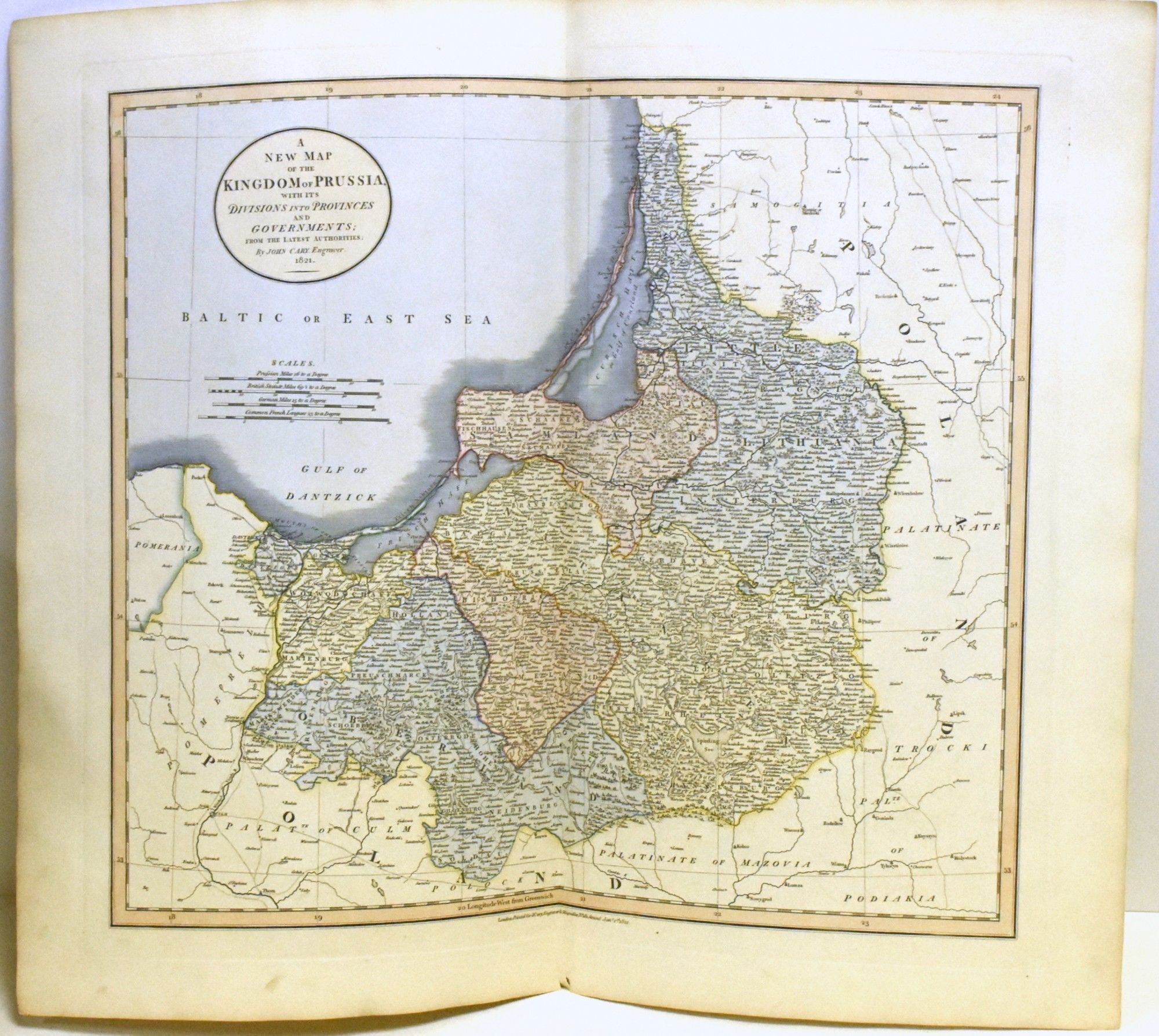
A NEW MAP OF THE KINGDOM OF PRUSSIA
- London: John Cary, 1821
London: John Cary, 1821. Near Fine binding. Hand-colored map, 21.5 x 25.25"; unbound; by the famed British cartographer and engraver.~~Showing the Kingdom of Prussia with its Divisions and Provinces and Governments from the Latest Authorities. A lovely map, highly detailed and delicately colored. Near Fine binding.