[CITY PLAN] [INDIA] GUIDE MAP OF CALCUTTA AND HOWRAH
![[CITY PLAN] [INDIA] GUIDE MAP OF CALCUTTA AND HOWR](https://d3525k1ryd2155.cloudfront.net/h/288/095/1439095288.0.x.0.jpg)
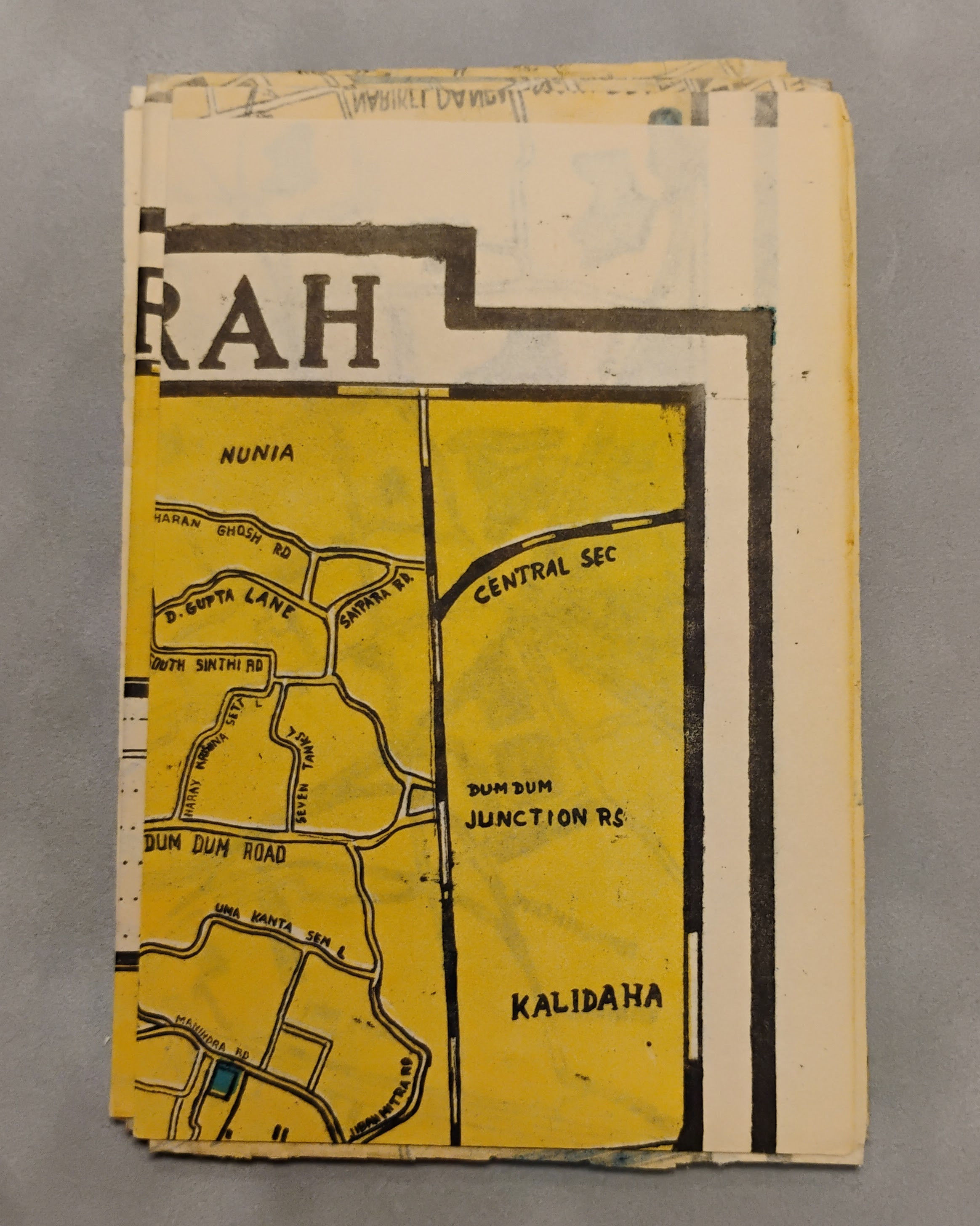
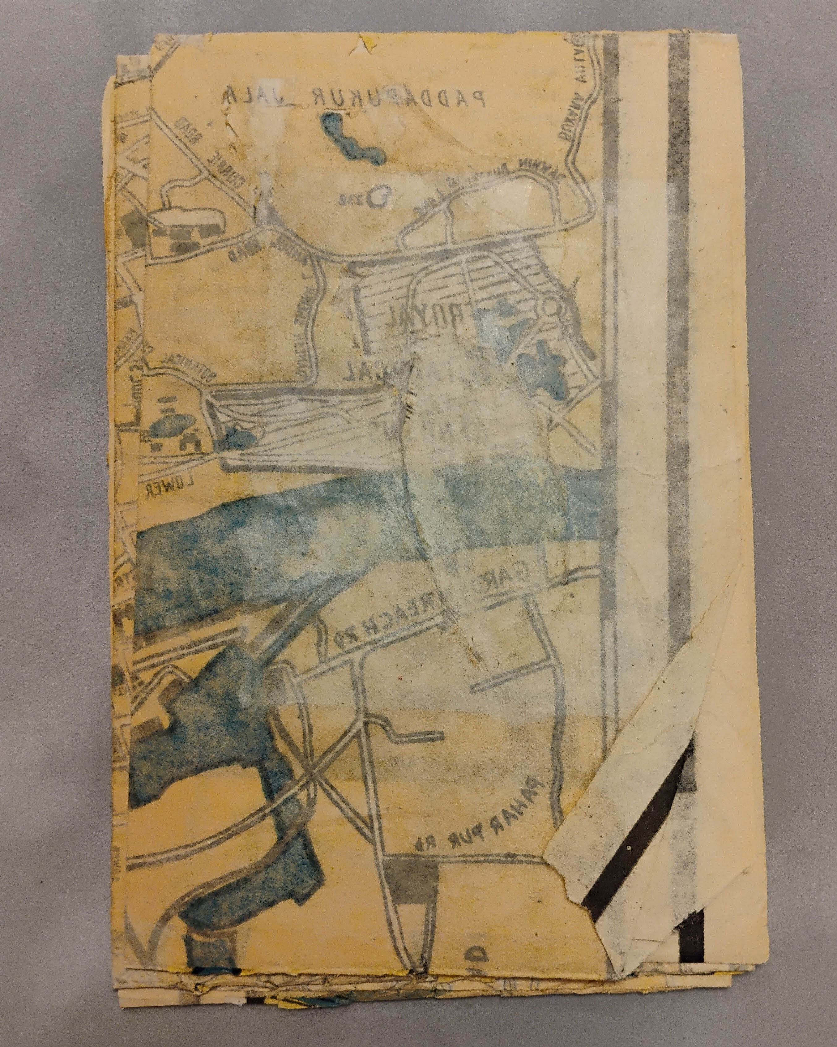
Folded sheet, approximate 84 cm. x 56 cm. printed in yellow, blue and black on flimsy cream colored paper; with three inset boxes listing Postal Zone numbers; references to Temples and Telegraph Offices; and 238 “Important Places”.~~There are several short areas of separation at the folds; and one internal tear (about 2”) has been repaired on the verso. An attractive plan of Calcutta and Howrah; undated but perhaps from the 1940’s.~.