Utah Historical Trails Map: The Routes of Explorers, Early Wayfarers, and Immigrant Trails Depicted in Relation to the Modern Highway System of the State
- Salt Lake City, UT: Utah State Department of Publicity and Industrial Development, 1948
Salt Lake City, UT: Utah State Department of Publicity and Industrial Development, 1948. First printing. Very good. Map [56.5 cm x 43 cm] Modern roads are printed in black ink and the trails are printed in red ink. With folds as issued. Short split at fold. Minor crinkling. First printing with Morgan's name printed incorrectly.
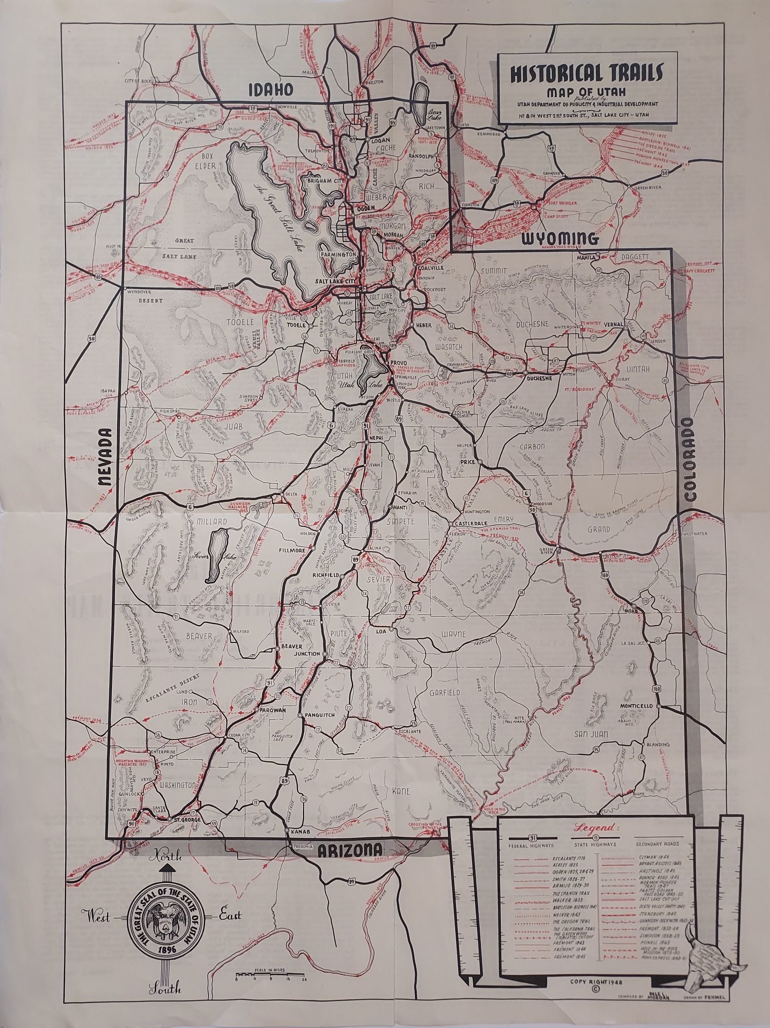
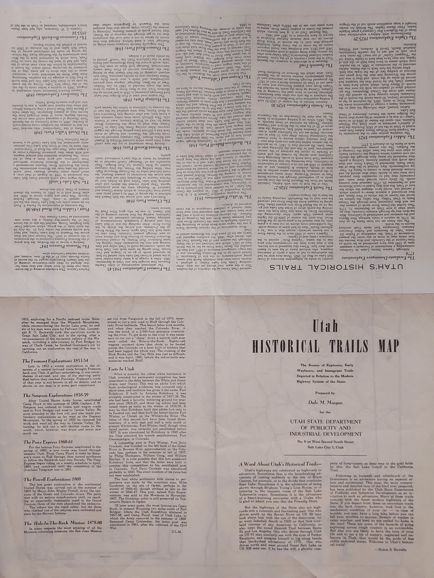
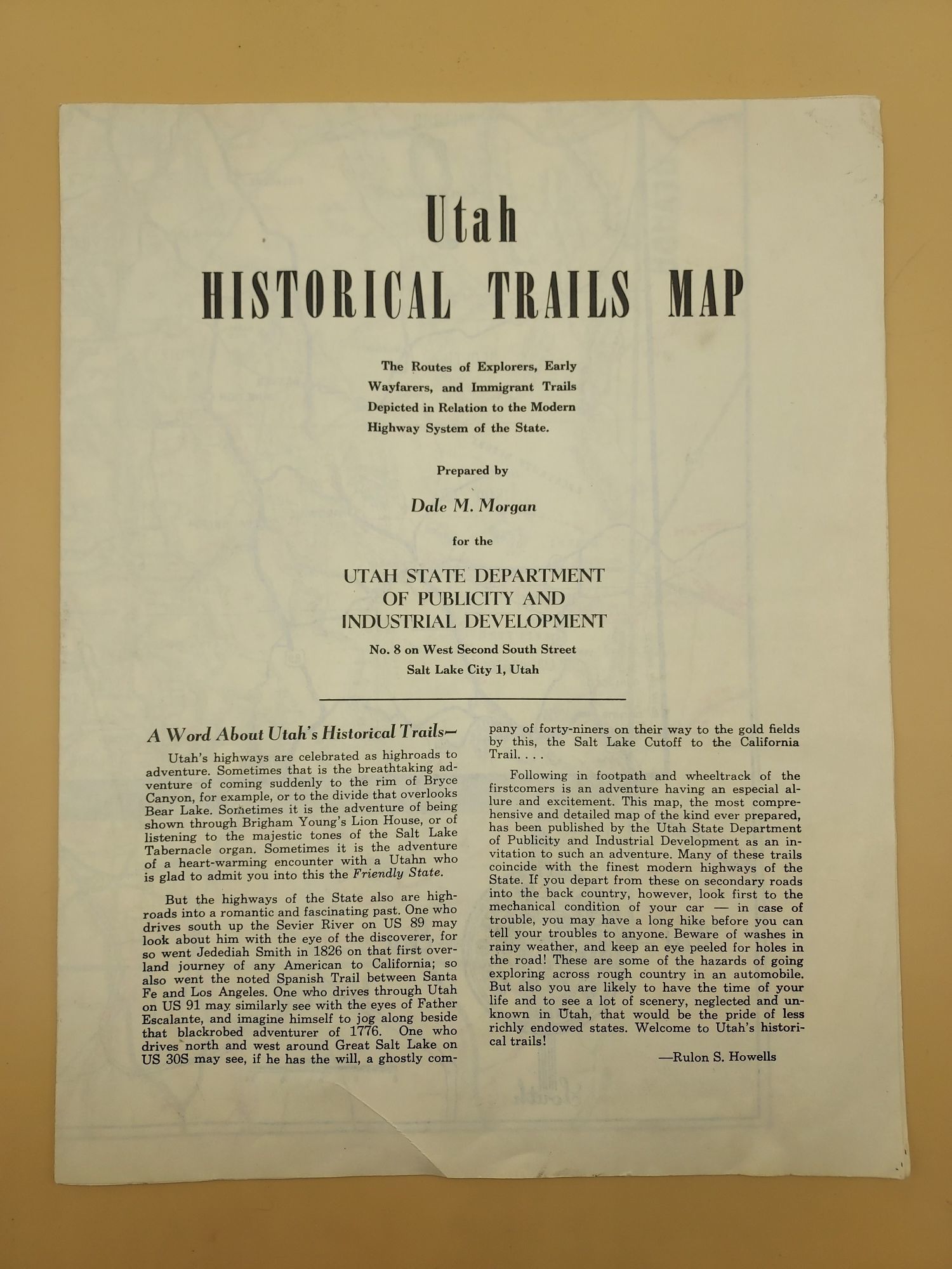
Printed in black and red and showing all of the historical trails through the state of Utah. The legend in the lower left corner lists these trails chronologically, beginning with Escalante (1776) and ending with the Pony Express (1860). Included are all of the major US surveys (Fremont, Powell, Simpson and Stansbury), the known mountain men and fur trader routes (Ashley, Ogden and Smith), and the overland trails (California, Oregon, Mormon) and those who crossed the salt flat desert (Donner, Hastings, Clyman, Bryant-Russell). Thirty historic trails are shown in all. Drawn by Fehmel. On the reverse is a short introduction by Rulon S. Howells. Followed by brief descriptions of all of the trails listed, and a short history of Forts in Utah.
Saunders 73.
According to Saunders, "Though this was a publicity item Howells introduced it as a general trail guide, cautioning those who venture off-road to be well prepared. This map is actually not detailed enough to be much of a help to anyone intent on tracing the actual trails."
Clearly the cornerstone for the Utah Centennial Trails Map (1996) that was prepared by several members of the Utah Westerners.