The Illustrated Route 66 Historical Atlas
- Hardcover
- Minneapolis: Voyageur Press, 2014
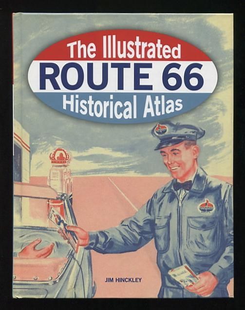
Minneapolis: Voyageur Press. Very Good. 2014. First Edition. Hardcover. (pictorial boards; no dust jacket, probably as issued) [no significant external wear, presents to the eye as new, but flipping through the book one finds a fair number of thin ink lines in the margins, placed there by a previous owner to unclear purpose (planning a road trip? marking the progress of one?)]. (B&W and color photos, facsimiles, maps) An atlas that explores the legendary highway's history "from its creation into the present day through a wealth of photographs, nostalgic memorabilia, and specially commissioned maps." (There are eight of these, each one a two-sided double-page foldout -- one for each of the states through which Route 66 passed: Illinois, Missouri, Kansas, Oklahoma, Texas, New Mexico, Arizona, and California.) For each state, the book provides a rundown of sites of interest, in seven categories: pre-1926 historic sites; landmarks; parks; military; crime and disaster; film and celebrity; and transitional sites. The illustrations are a mix of vintage and contemporary postcards and photographs, many presenting a "then and now" look at a building or site. .