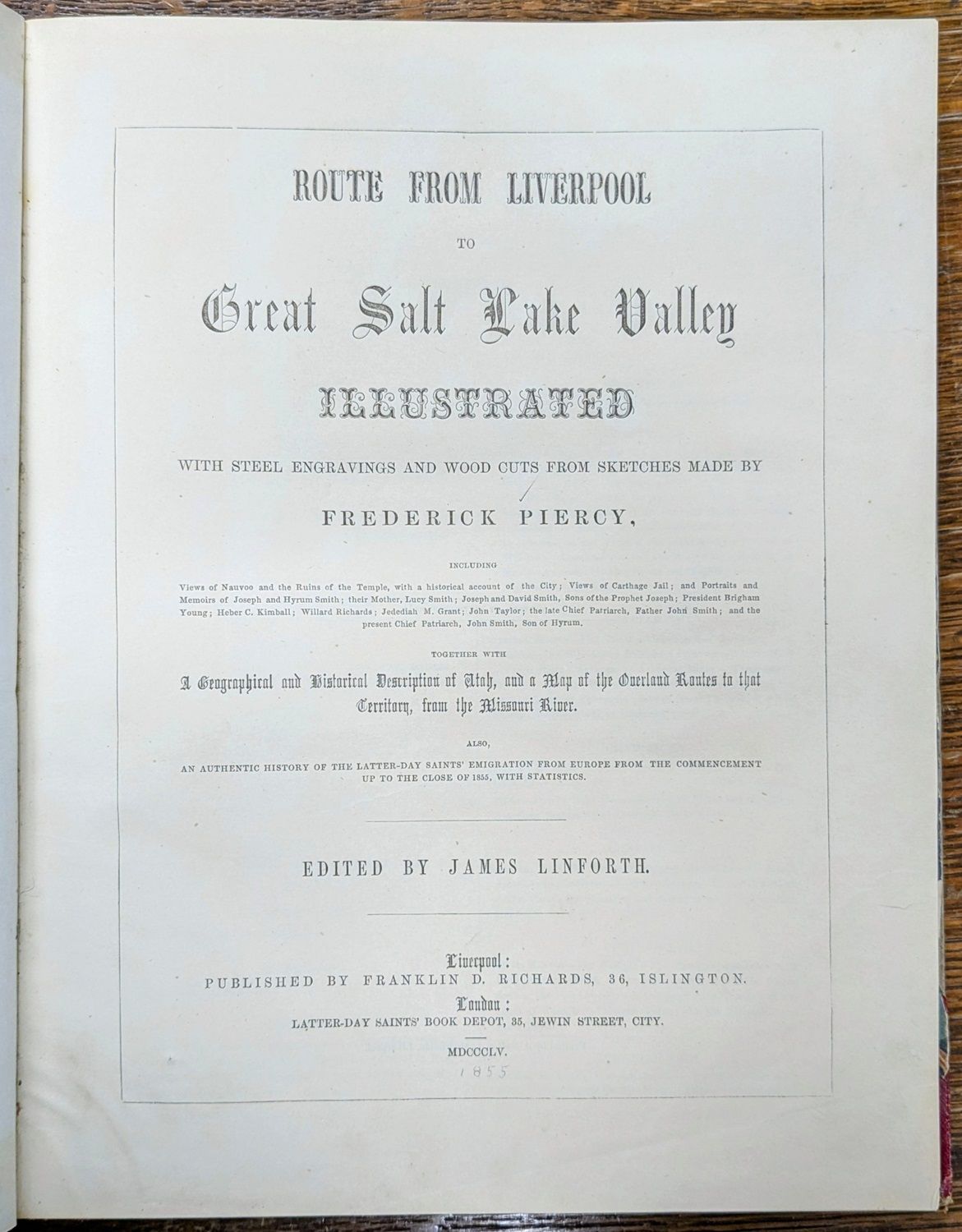
Route from Liverpool to Great Salt Lake Valley illustrated with steel engravings and wood cuts from sketches made by Frederick Piercy. Together with a geographical and historical description of Utah, and a map of the overland routes to that territory from the Missouri River. Also, an authentic history of the Latter-day Saints' emigration from Europe from the commencement up to the close of 1855, with statistics
- Liverpool: Franklin D. Richards, 1855
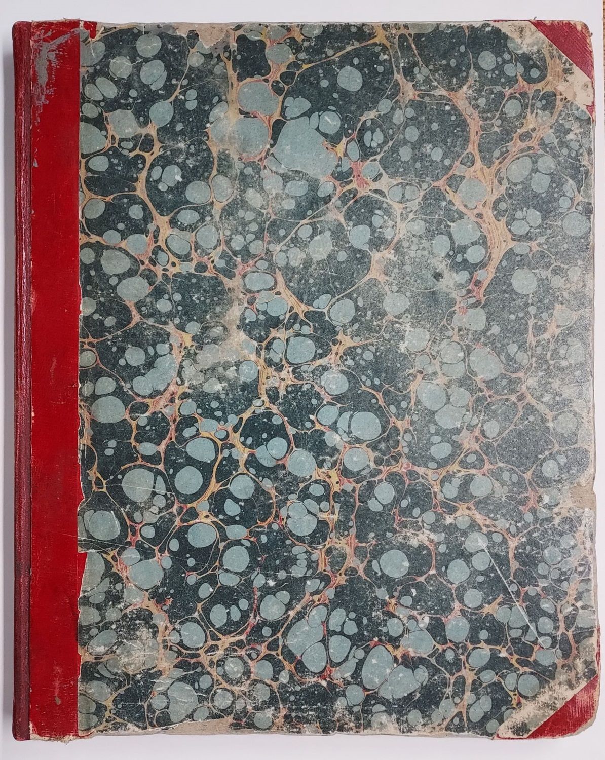
Liverpool: Franklin D. Richards, 1855. First edition. Very Good. viii [1] - 120 pp. With the frontispiece folding map by F. D. Richards and all engravings and woodcuts present. Folio [31 cm] Rebacked in red leather with gilt bands and gilt stamped title on the spine. Original marble boards, with underlying boards exposed along the edges. Sprinkled edges. New gray endpapers. Hinges reinforced. Ex-library, with a single library label on the front pastedown. The front flyleaf has several minor tears to the fore-edge, and there are light tide marks (the majority of them small) in the margins of the plates. These marks occasionally just begin to bleed into the images. Caption title of bottom engraving on plate facing p. 44 trimmed close.
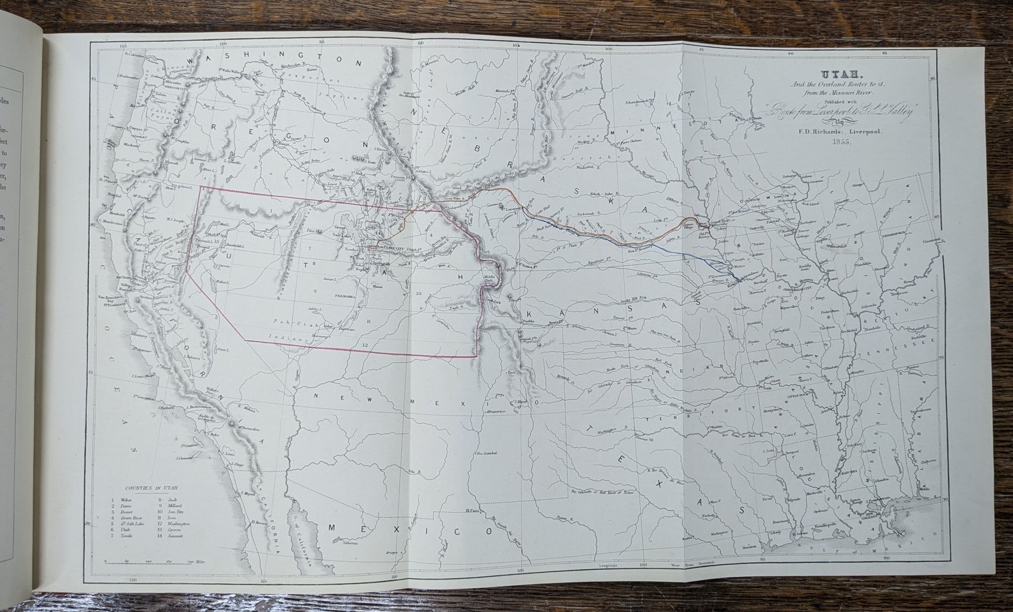
The celebrated map shows the Utah Territory, outlined by hand in red, with its various counties; the Mormon trail is shown in brown and blue. In this map, Utah still includes Nevada and shows up as the only important Territory of the Great Basin. Fremont's routes are marked as well.
The work was issued with 9 woodcuts and 30 engraved plates; all are present in this copy. There is a small pencil tick-mark next to the title of each of these on the list of plates. Lacking the tissue protectors.
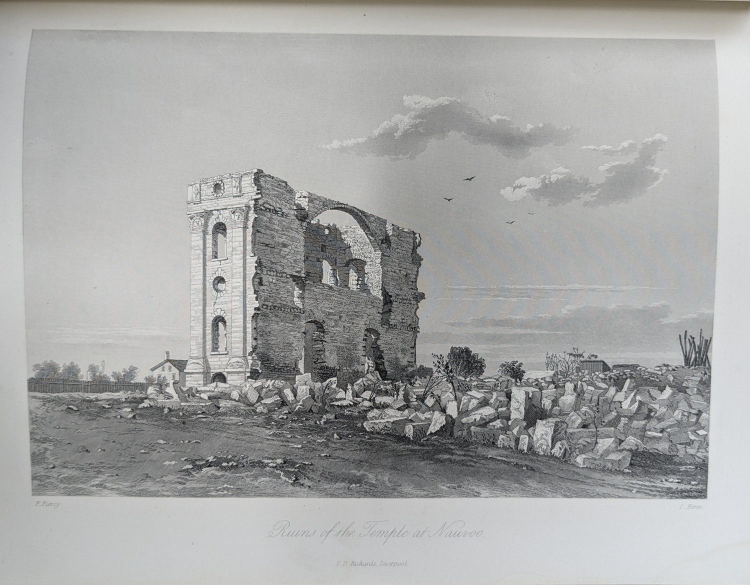
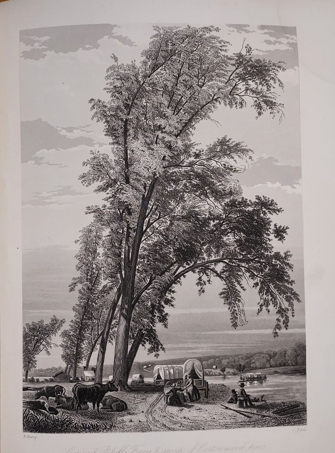
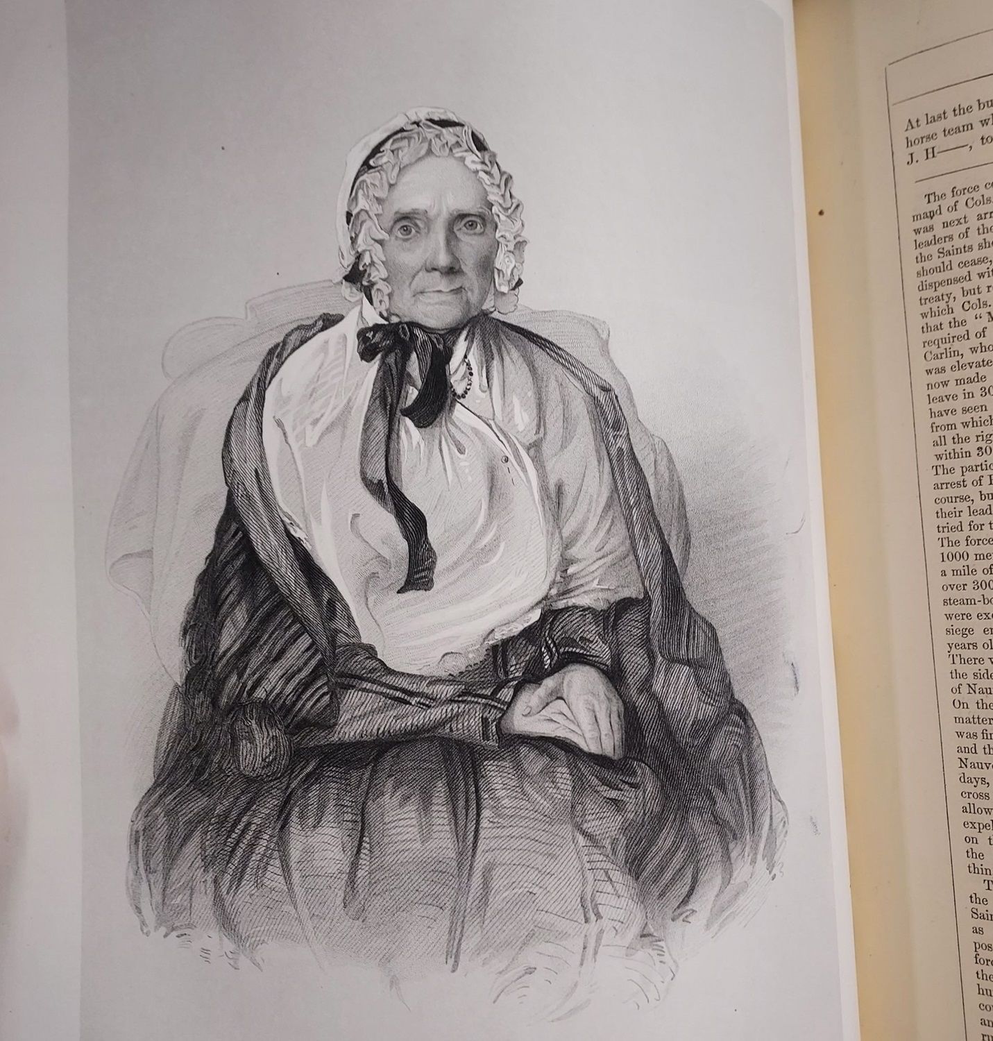
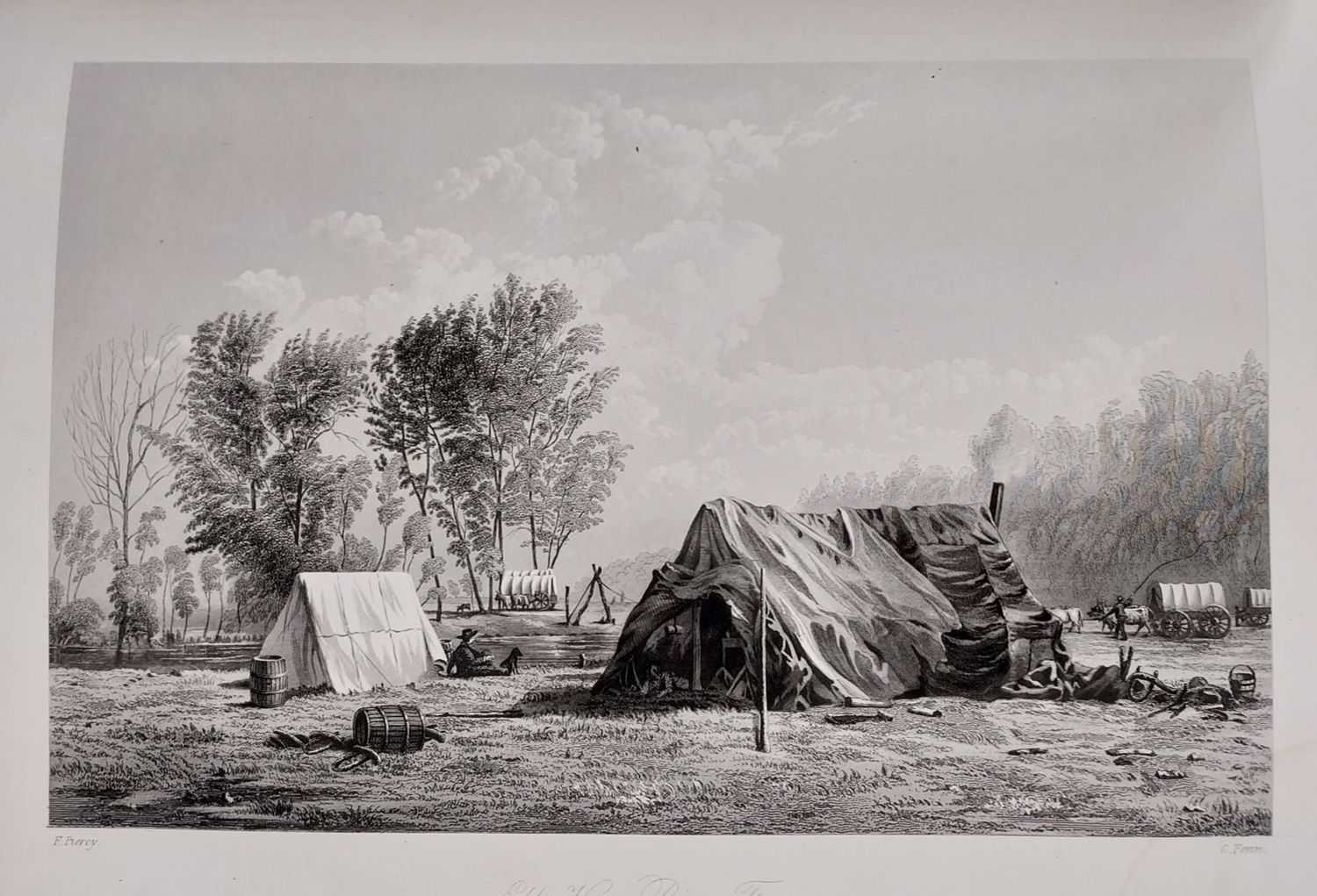
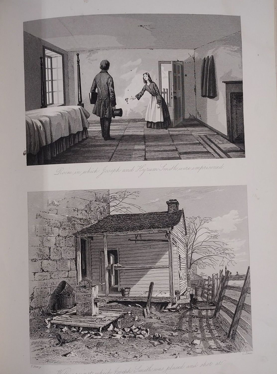
Scarce in any condition. A collection of engravings of the most significant landmarks and points of interest on the Route between Liverpool and Great Salt Lake City, such as "New Orleans," "St. Louis," "Camp at Keokuck," "Ruins of the Temple at Nauvoo," "Room in which Joseph and Hyrum Smith were imprisoned," "Wall against which Joseph Smith was placed and shot at after his assassination," "Council Bluffs Ferry & group of Cotton-wood trees," and "Great Salt Lake City in 1853." The book also includes portraits of prominent Latter-day Saints, including Joseph Smith, Hyrum Smith, Lucy Smith, and Brigham Young. Extremely high quality illustrations made from the drawings that talented young artist Frederick Piercy made along the trail.
Bibliographer Peter Crawley states that "Route from Liverpool ranks as the most beautiful book published by the Latter-day Saints." Wright Howes refers to this work as "One of the most elaborately and beautifully illustrated of western books," and Carl Wheat called the Richards map "one of the most illuminating maps of the West". Wheat further declares, "This is not only an important map in the history of Mormonism, but is in every sense an important map of the West, giving as it does a carefully drawn picture of that entire area. Practically nothing is shown in the whole of New Mexico, including present Arizona, but for regions to the east, west and north the map is accurate and reasonably detailed." Wheat closes by claiming, "The map was excellent for the period."
Originally serialized in fifteen issues starting in July of 1854, this impressive volume was the brainchild of young convert Frederick Piercy, and Samuel Richards, president of the Liverpool Mission. They envisioned a travel guide for English converts who wanted to make the trek to the Salt Lake Valley. Piercy (1830-1891) was a gifted artist and engraver whose beautiful work fills this volume.
The overland journey of the Piercy party was made in 1853. Starting from New Orleans, the party proceeded up the Mississippi to Saint Louis and Nauvoo, back to Saint Louis, and then across Missouri and Nebraska to Wyoming, and over the South Pass into the Great Salt Lake Valley. The woodcuts and engravings that illustrate this work provide a rare visual glimpse of the overland trail and the Mormon trail west to the valley of the Great Salt Lake.
Crawley 1070. Mormon Fifty 46. Wagner-Camp 259. Graff 2501. Howes L359. Sabin 41325. Streeter sale 2296. Scallawagiana 51. Mormon Imprints 52. Wheat 858. Flake/Draper 6381. Auerbach 1: 728. Moffat 40.
The celebrated map shows the Utah Territory, outlined by hand in red, with its various counties; the Mormon trail is shown in brown and blue. In this map, Utah still includes Nevada and shows up as the only important Territory of the Great Basin. Fremont's routes are marked as well.
The work was issued with 9 woodcuts and 30 engraved plates; all are present in this copy. There is a small pencil tick-mark next to the title of each of these on the list of plates. Lacking the tissue protectors.
Scarce in any condition. A collection of engravings of the most significant landmarks and points of interest on the Route between Liverpool and Great Salt Lake City, such as "New Orleans," "St. Louis," "Camp at Keokuck," "Ruins of the Temple at Nauvoo," "Room in which Joseph and Hyrum Smith were imprisoned," "Wall against which Joseph Smith was placed and shot at after his assassination," "Council Bluffs Ferry & group of Cotton-wood trees," and "Great Salt Lake City in 1853." The book also includes portraits of prominent Latter-day Saints, including Joseph Smith, Hyrum Smith, Lucy Smith, and Brigham Young. Extremely high quality illustrations made from the drawings that talented young artist Frederick Piercy made along the trail.
Bibliographer Peter Crawley states that "Route from Liverpool ranks as the most beautiful book published by the Latter-day Saints." Wright Howes refers to this work as "One of the most elaborately and beautifully illustrated of western books," and Carl Wheat called the Richards map "one of the most illuminating maps of the West". Wheat further declares, "This is not only an important map in the history of Mormonism, but is in every sense an important map of the West, giving as it does a carefully drawn picture of that entire area. Practically nothing is shown in the whole of New Mexico, including present Arizona, but for regions to the east, west and north the map is accurate and reasonably detailed." Wheat closes by claiming, "The map was excellent for the period."
Originally serialized in fifteen issues starting in July of 1854, this impressive volume was the brainchild of young convert Frederick Piercy, and Samuel Richards, president of the Liverpool Mission. They envisioned a travel guide for English converts who wanted to make the trek to the Salt Lake Valley. Piercy (1830-1891) was a gifted artist and engraver whose beautiful work fills this volume.
The overland journey of the Piercy party was made in 1853. Starting from New Orleans, the party proceeded up the Mississippi to Saint Louis and Nauvoo, back to Saint Louis, and then across Missouri and Nebraska to Wyoming, and over the South Pass into the Great Salt Lake Valley. The woodcuts and engravings that illustrate this work provide a rare visual glimpse of the overland trail and the Mormon trail west to the valley of the Great Salt Lake.
Crawley 1070. Mormon Fifty 46. Wagner-Camp 259. Graff 2501. Howes L359. Sabin 41325. Streeter sale 2296. Scallawagiana 51. Mormon Imprints 52. Wheat 858. Flake/Draper 6381. Auerbach 1: 728. Moffat 40.