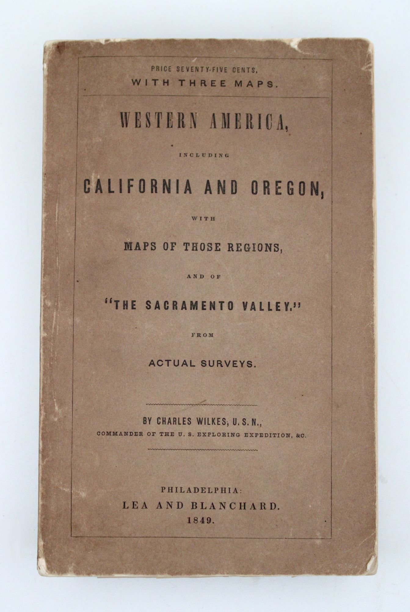
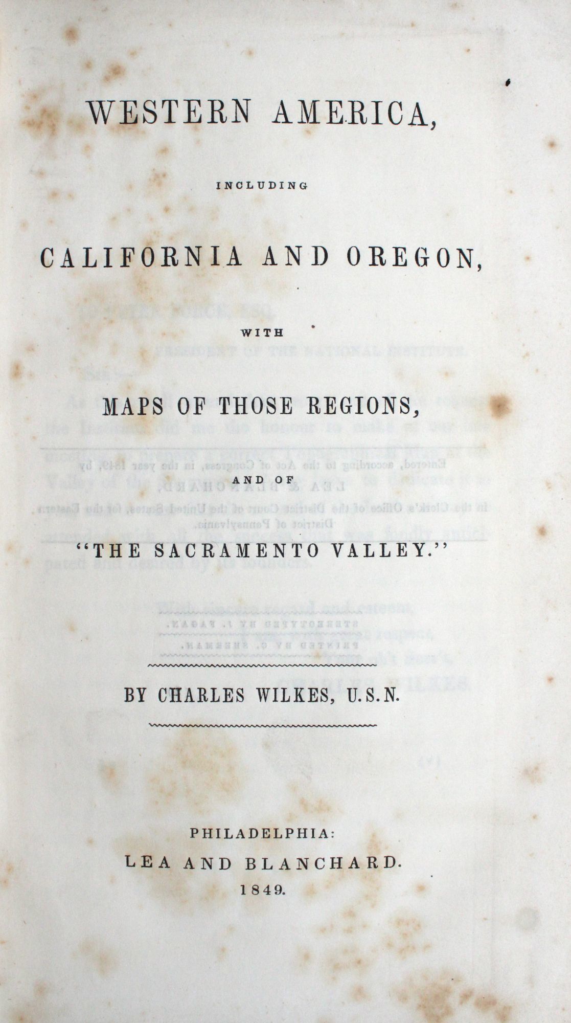
Western America, Including California and Oregon, with Maps of Those Regions, and of “The Sacramento Valley.”
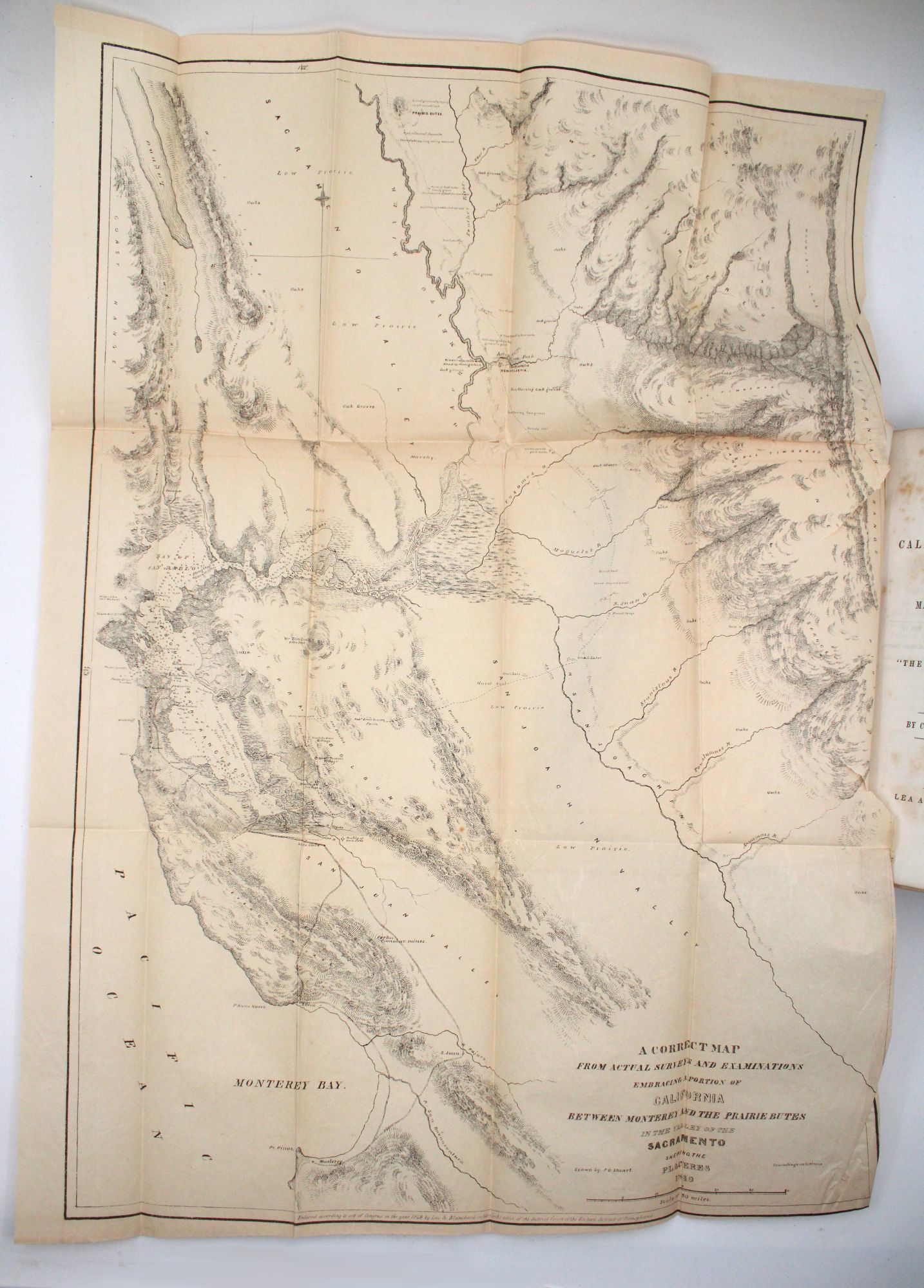

- Three folding maps. 2,v-ix,[1],13-130pp. 8vo
- Philadelphia: Lea and Blanchard, 1849
Philadelphia: Lea and Blanchard, 1849. First edition. Three folding maps. 2,v-ix,[1],13-130pp. 8vo. Publisher's lettered wrappers. First edition. Three folding maps. 2,v-ix,[1],13-130pp. 8vo. The only English language edition of this important early guide to the West Coast. Wilkes had conducted extensive surveys in California and Oregon while commanding his famous U.S. Exploring Expedition of the Pacific Ocean from 1838-42. This work includes material not published with the official report, additional geographical notes supplied by Father De Smet, and material from the Emory and Fremont reports. "In a sense, it constitutes the first Pacific Coast guide" - Howes. The large map of the Sacramento Valley is one of the first large-scale maps of the gold region. The small maps show Upper California and Oregon, respectively. An important addition to gold rush literature, now quite scarce. Cowan I, p. 249; Cowan II, p. 683; Graff 4656; Holliday 1195; Howell 256; Howes W-416; Norris 4222; Randall 529; Rocq 16162; Sabin 103995; Sloan, Gold Rush, 163; Streeter 3226; Wagner-Camp-Becker 175a:1; Wheat, Books 229; Wheat, Maps 134, 135