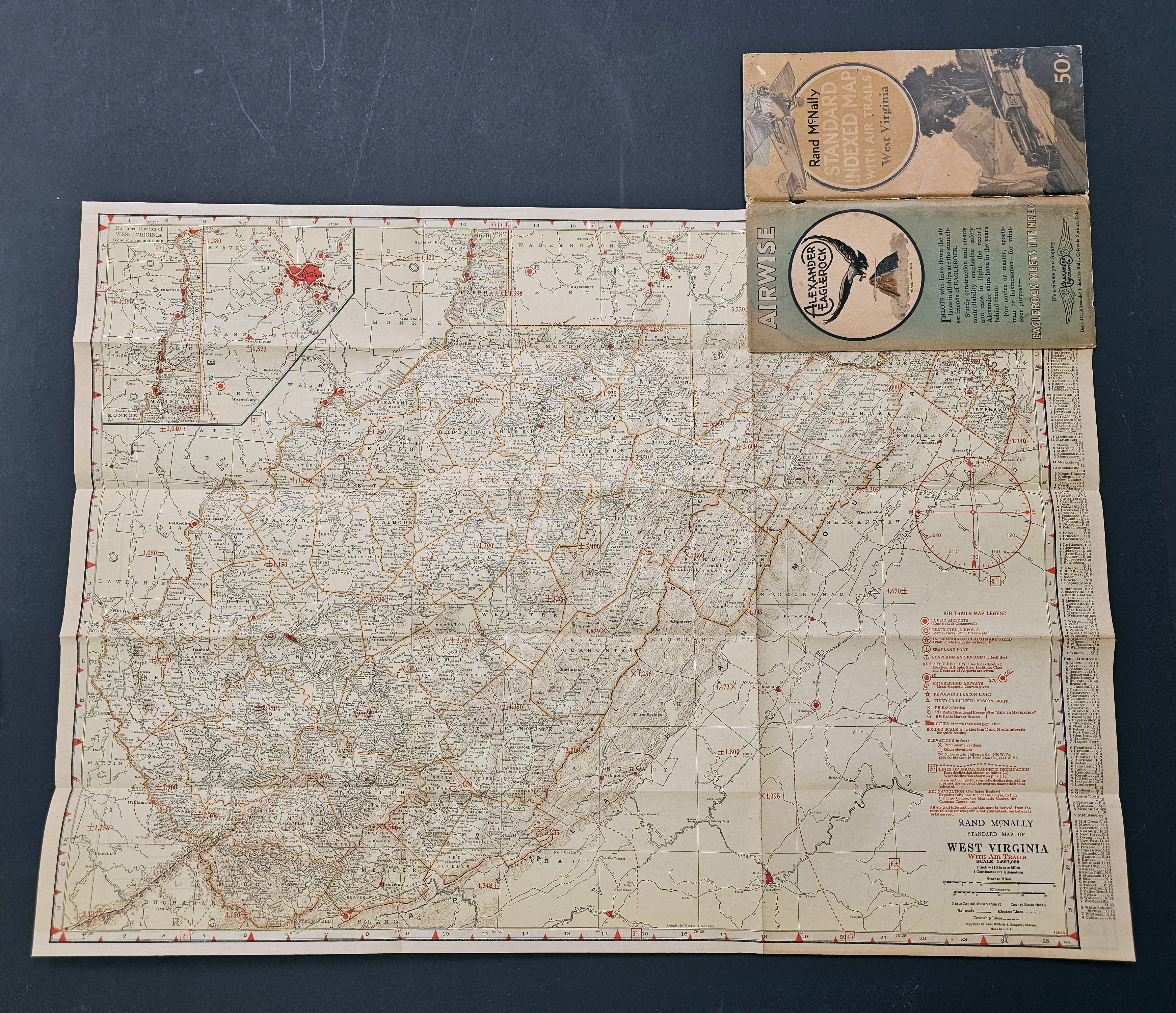
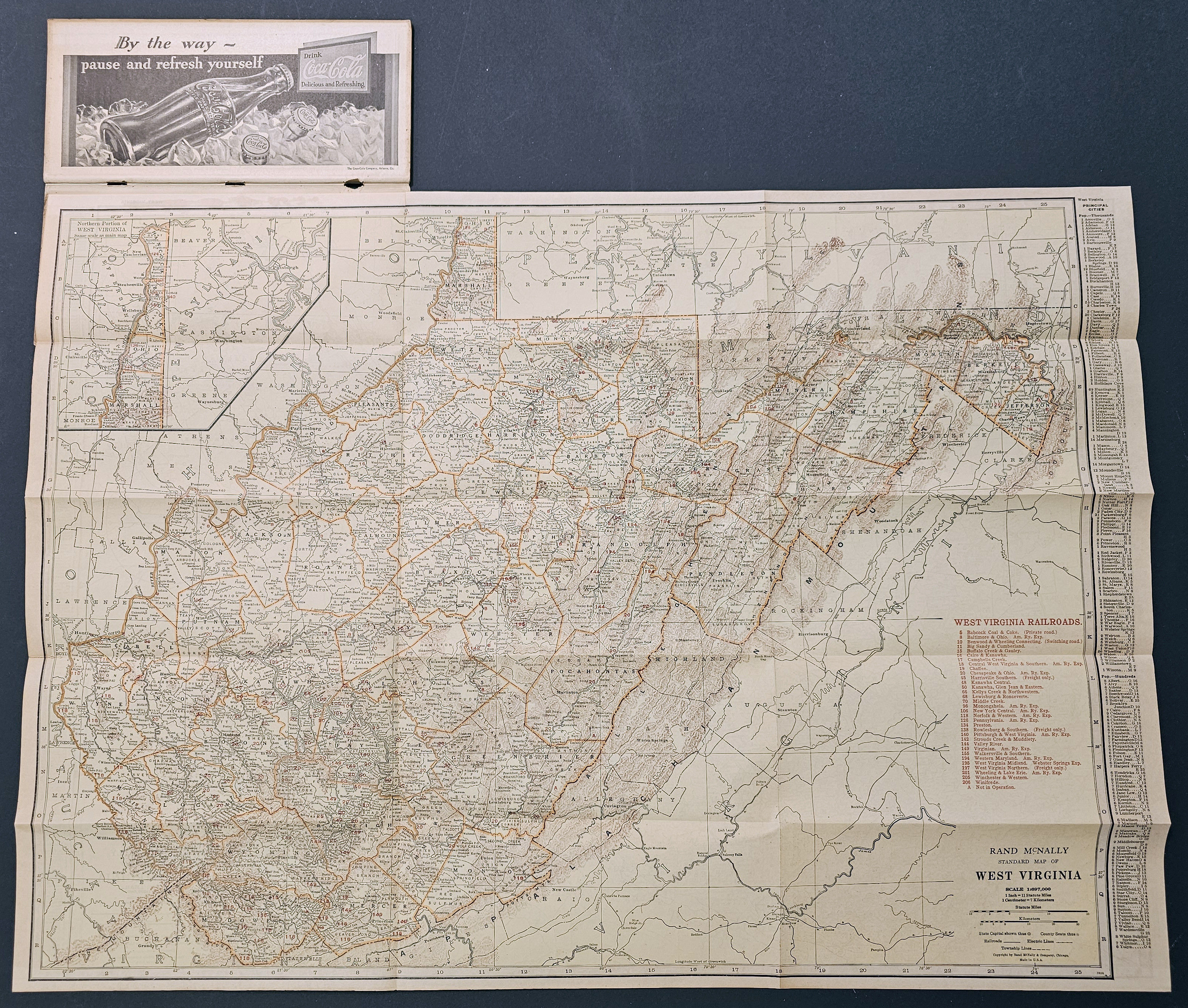
[MAP] RAND McNALLY STANDARD INDEXED MAP WITH AIR TRAILS. WEST VIRGINIA. FOR TOURISTS, AVIATORS, COMMERCIAL TRAVELERS, TRANSPORTATION MEN, SHIPPERS, GENERAL COMMERCIAL AND BUSINESS REFERENCE
![[MAP] RAND McNALLY STANDARD INDEXED MAP WITH AIR T](https://d3525k1ryd2155.cloudfront.net/h/417/088/1611088417.0.x.jpg)
- Chicago: Rand McNally and Company, 1929
Chicago: Rand McNally and Company, 1929. Very Good binding. A large folding map of West Virginia, printed on both sides: West Virginia railroads and on the verso, North Carolina. air trails. With index of 53 pp. plus 3 leaves of ads. Stapled, in pictorial wrappers. A nice copy of an uncommon item, with a bit of fade to the cover; we locate only 3 copies on OCLC. Very Good binding.