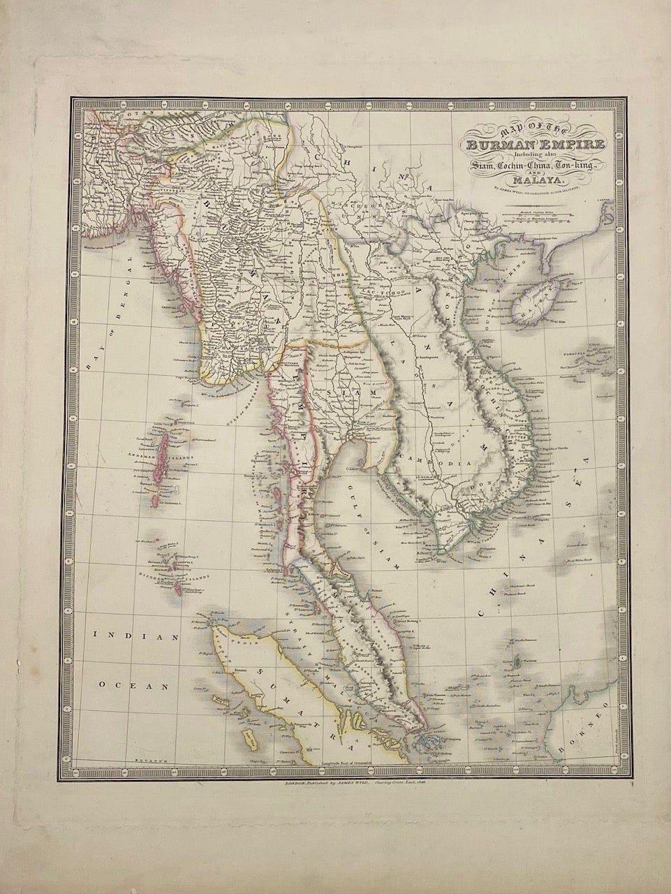
Map of the Burman Empire Including also Siam, Cochin-China, Ton-King and Malaya
- unbound
- London: James Wyld, 1841
London: James Wyld, 1841. unbound. Map. Engraving with original hand colored outlines. Image measures 16.5" x 13.5".
This map of the Burman Empire includes the modern-day regions of Myanmar, Thailand, Vietnam, Cambodia, Laos, Malaysia, Singapore, and the tip of Borneo. The map was published in 1841, amidst a tumultuous period of increasing European colonial influence, with the British, Dutch, and French vying for political control and resources. Originally published in 1825 during the First Anglo-Burmese War, Wyld issued several updated editions through the 19th century. This edition extends from Bootan (Bhutan) and Calcutta, to Canton, and south to show the Strait of Malacca and Singapore. Cities, rivers and waterways, and regions are labeled. Topography is rendered by hachure. Islands and coastal features are extensively labeled, highlighting the importance of the coastlines to global maritime trade. The map is in very good condition, with a closed tear to right margin not affecting the image. Minor worm holes along plate line in left margin.
James Wyld (1812-1887) was a distinguished British mapmaker known for producing maps and globes. He served as Geographer to Queen Victoria and Prince Albert. This lovely map of the East Indies is a fine example of his work.