Johnson's Venezuela. New Granada, Ecuador, Peru & Bolivia, Chile and Guiana
- unbound
- New York: Johnson and Ward, 1862
New York: Johnson and Ward, 1862. unbound. Map. Engraving with original hand coloring. Image measures 12.5" x 15".
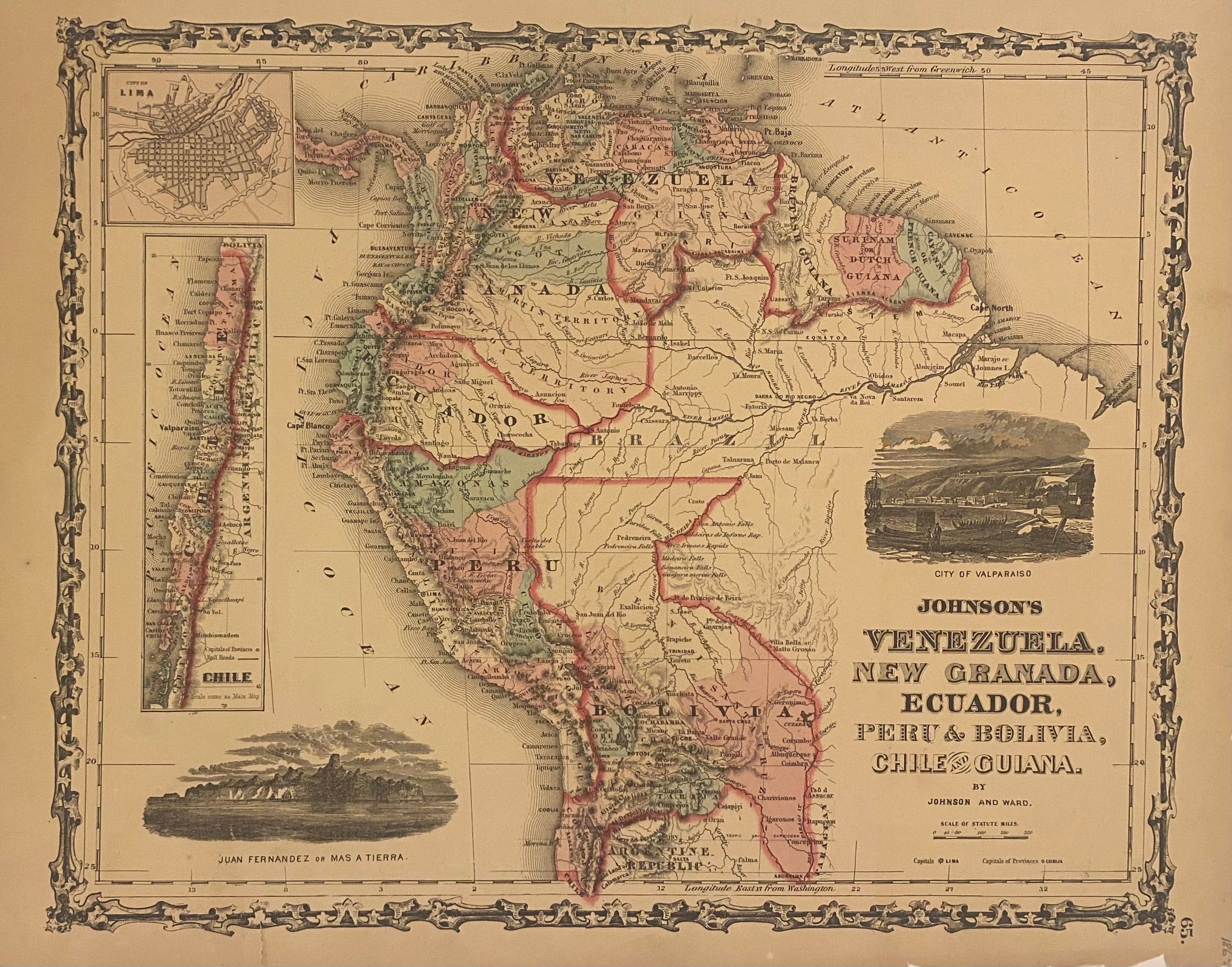
This beautiful 1862 map was issued by Johnson and Ward. The map includes an inset of map of Chile, a city plan of Lima, and two vignettes depicting Juan Fernandez or Mas A Tierra, and the City of Valparaiso. Features the Johnson border used between 1861 - 1863. The map is in good condition with chips to lower margin, not affecting the printed image.
Alvin Jewett Johnson (1827-1884) was one of the most prolific American publishers of the 19th century. He opened his own company in 1856 that produced atlases, maps and encyclopedias. The company made great maps based on those by J.H. Colton, and Johnson produced a newly updated version every year up until the late 19th century.