Fifteen Photographs of Late-19th Century Shasta and Siskiyou Counties
- Fifteen photographs, approximately 4 ½ x 7 ½ inches. Each mounted on heavy cardboard backing approximately 5 ½ x 8 ½ inches,
- Shasta County and Siskiyou County , 1890
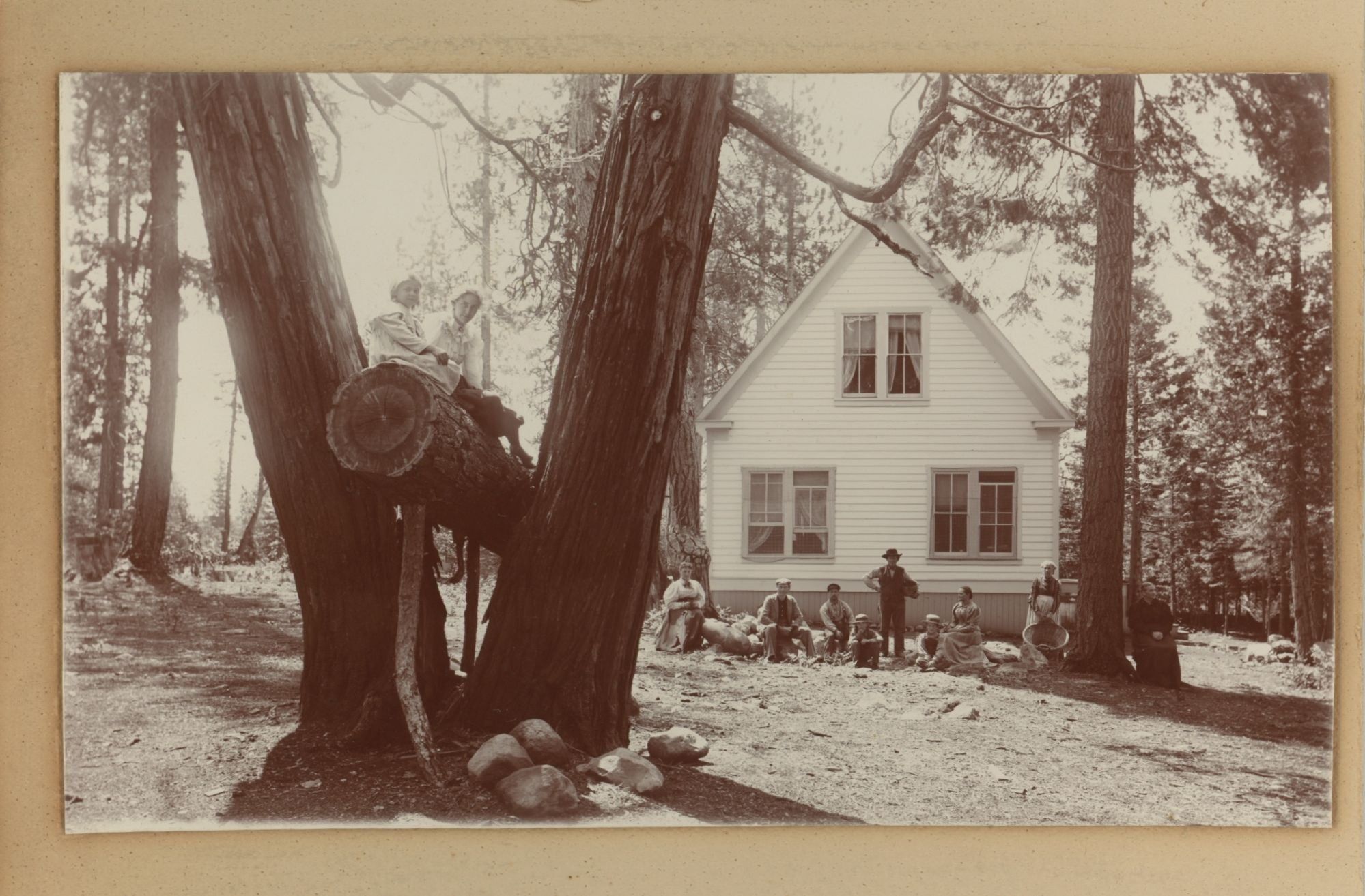
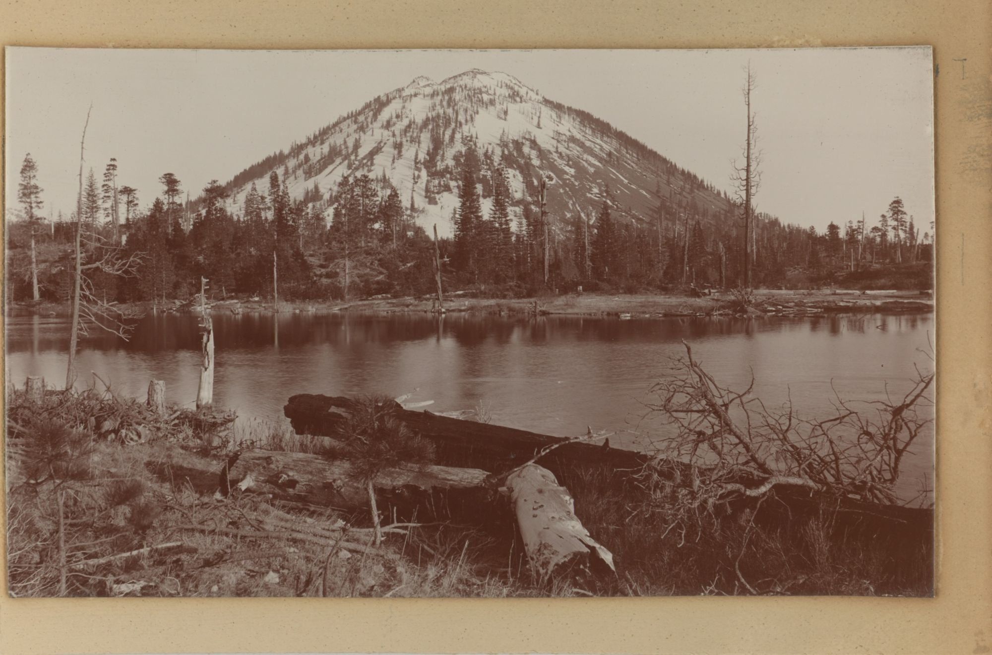
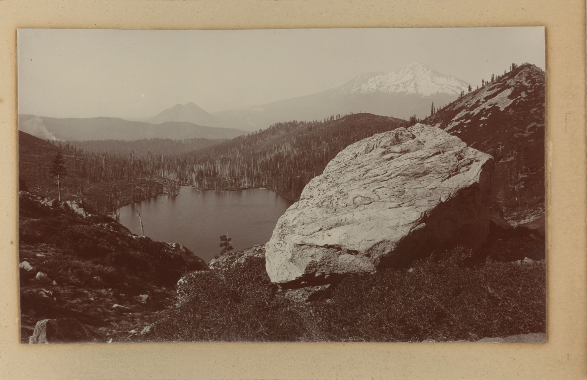
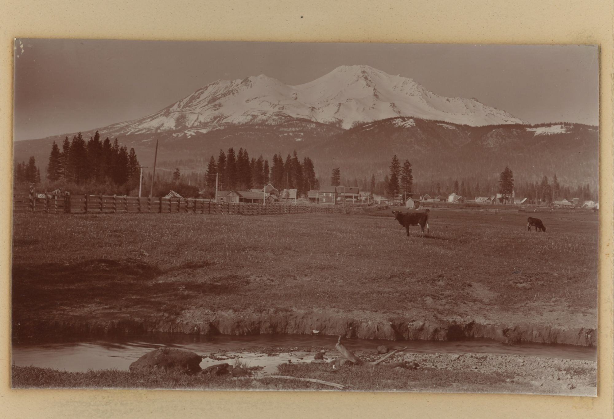
Shasta County and Siskiyou County, 1890. Fifteen photographs, approximately 4 ½ x 7 ½ inches. Each mounted on heavy cardboard backing approximately 5 ½ x 8 ½ inches, which is mounted on heavy cardboard of approximately 8 x 10 ½ inches. Unknown if photographs are stamped verso due to mounting. Some with recent captions on the largest mount; some captions likely incorrect (see description). Fine contrast, overall fine condition.. Raper James Waters (1856–1937) was a professional photographer from Sacramento, California. He was first active as a photographer in Gold Hill, Nevada, in the 1880s. Following this, he returned to California, and had studios in Berkeley and San Francisco between the late 1880s and mid-1920s. Offered here is a collection of fifteen of Waters’ photographs from around Mount Shasta, likely from the late 1880s or 1890s.
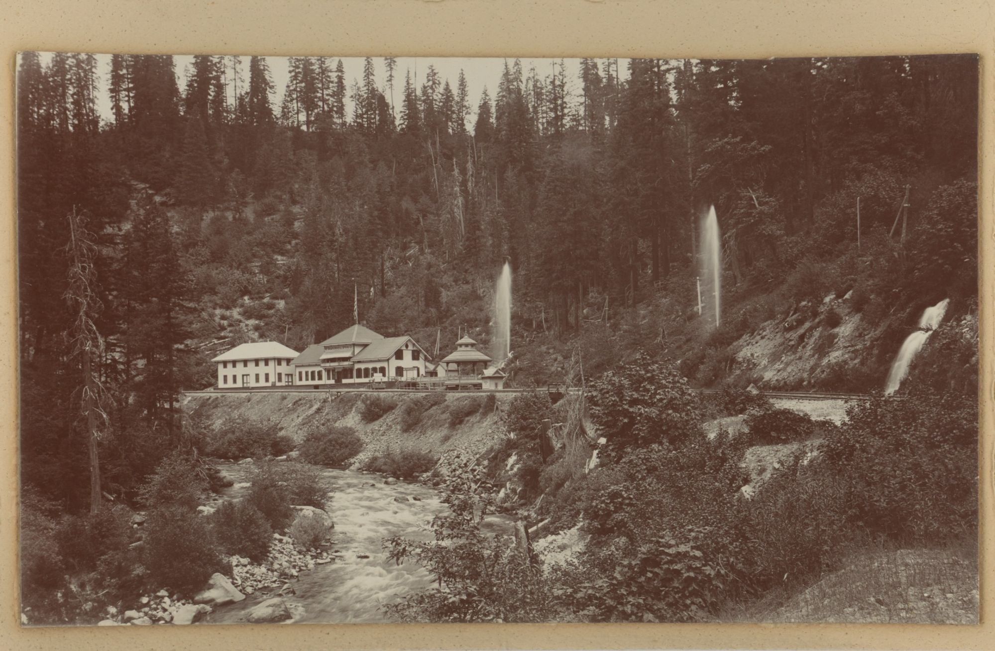
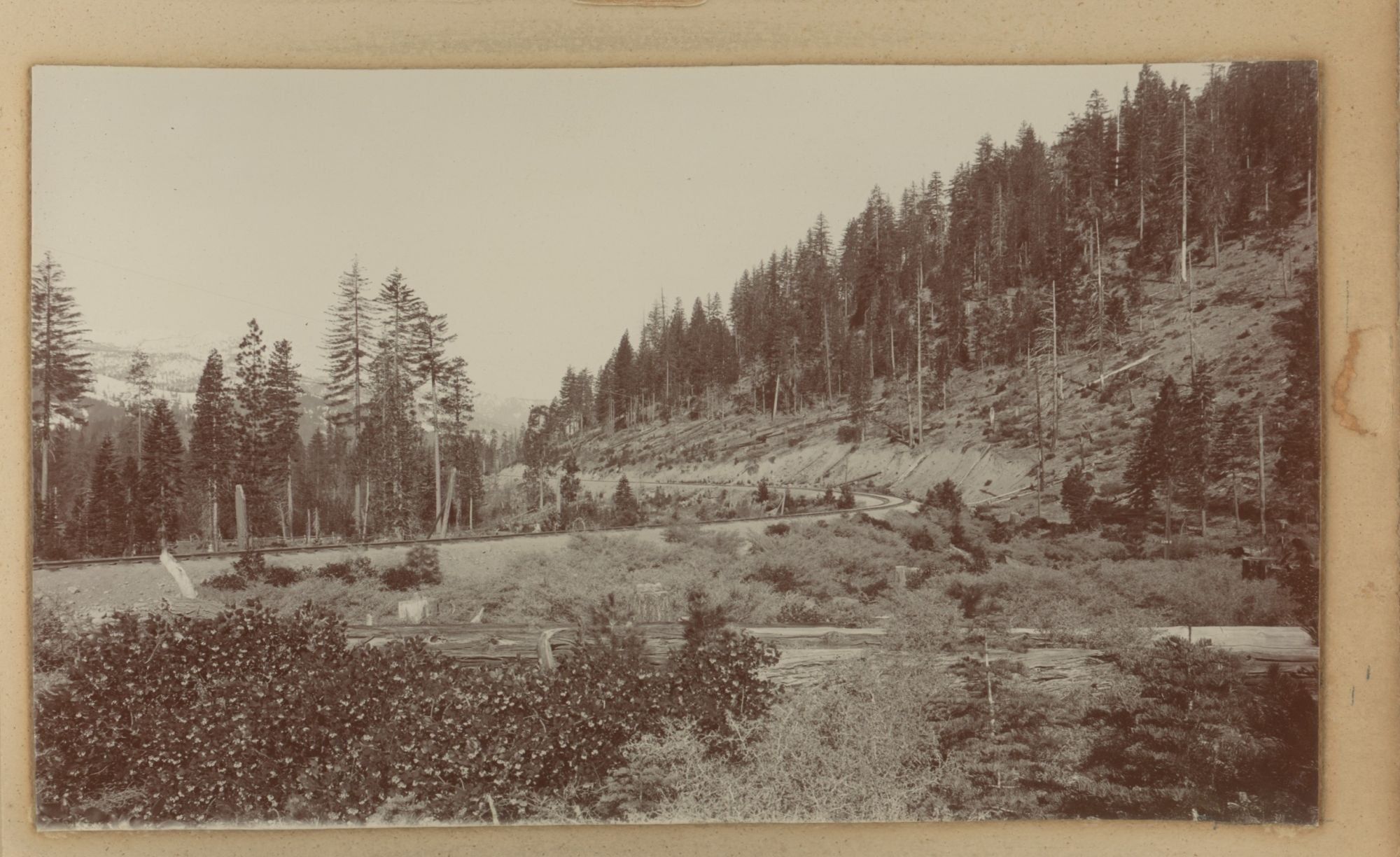
The photographs are mainly from places in Siskiyou County, where Mount Shasta is located, including shots of the towns of Sisson (now Mount Shasta) and Dunsmuir, Sisson and Dunsmuir are on the Siskiyou Trail, an ancient Native American footpath running from the San Francisco area to Portland, Oregon. The Central Pacific Railroad Company completed a train line along the Siskiyou Trail in 1887; one shot from an unknown location shows railroad tracks rounding a curve among felled trees. Just outside of Dunsmuir is the Shasta Springs resort (mislabeled here as Shasta Bottling Works), famous for its springwater – the fountains of water in the photograph are from pressurized pipes coming from the springs.
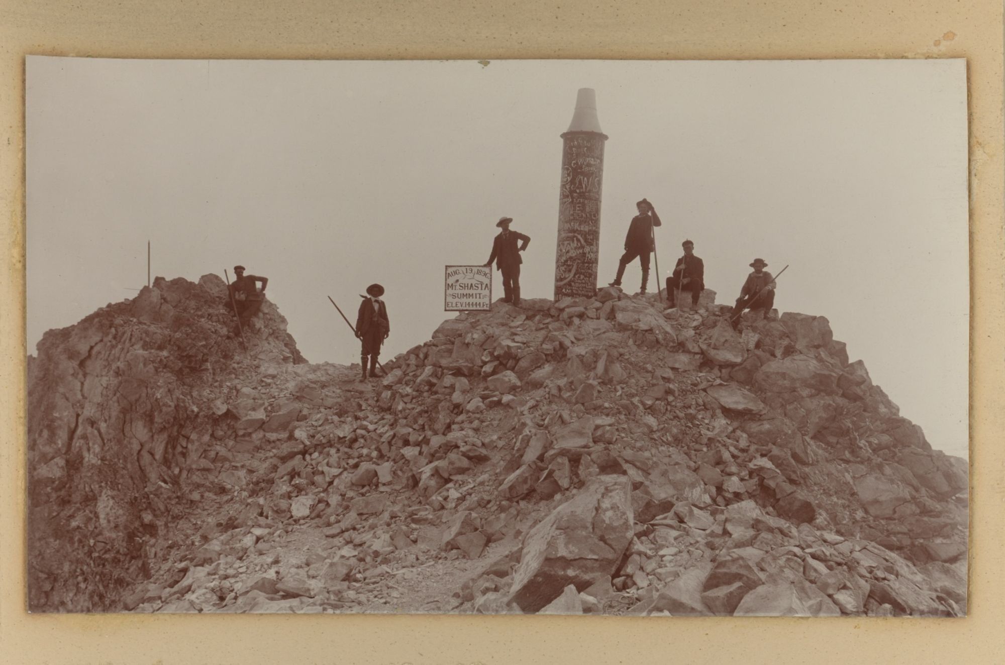
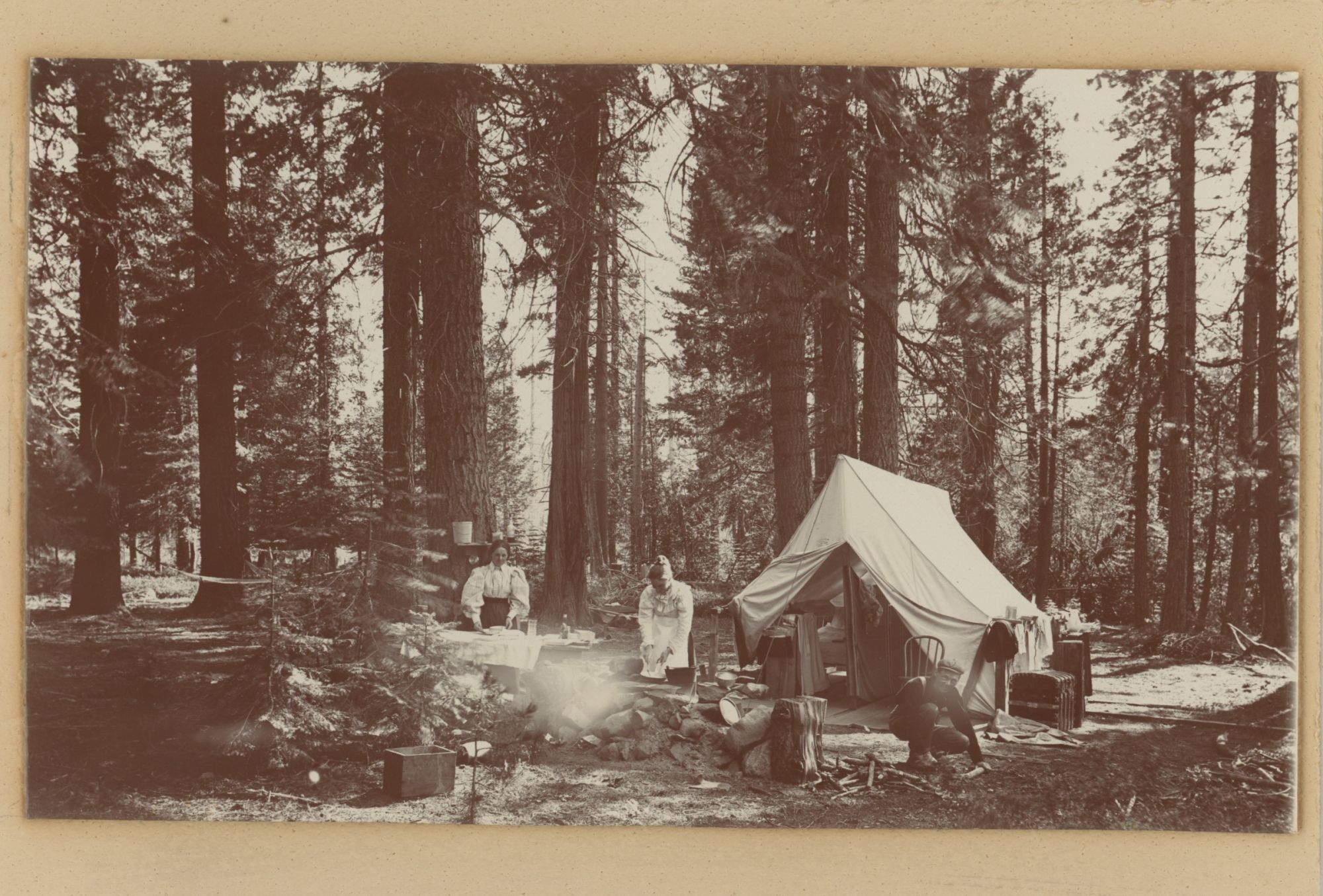
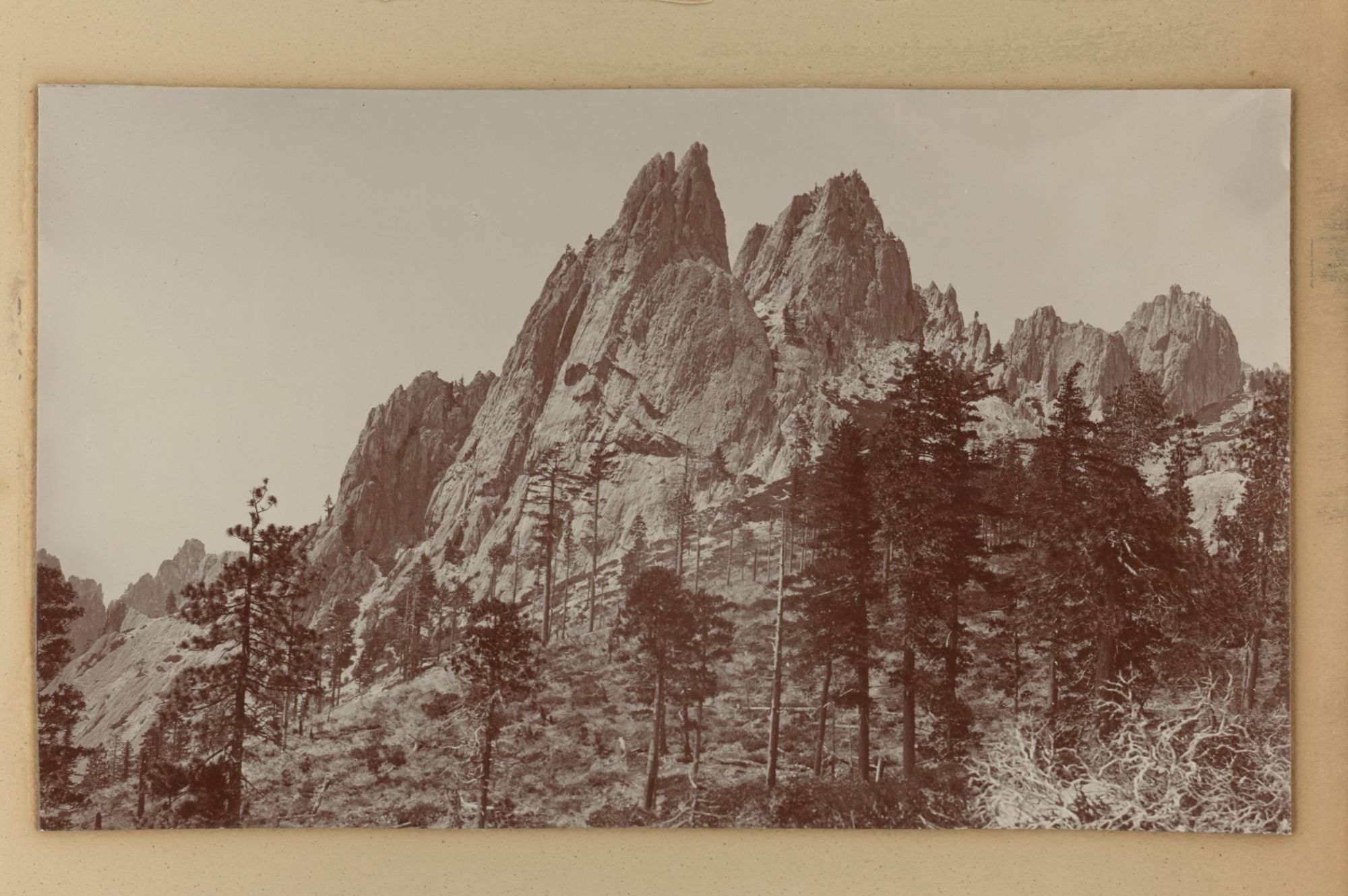
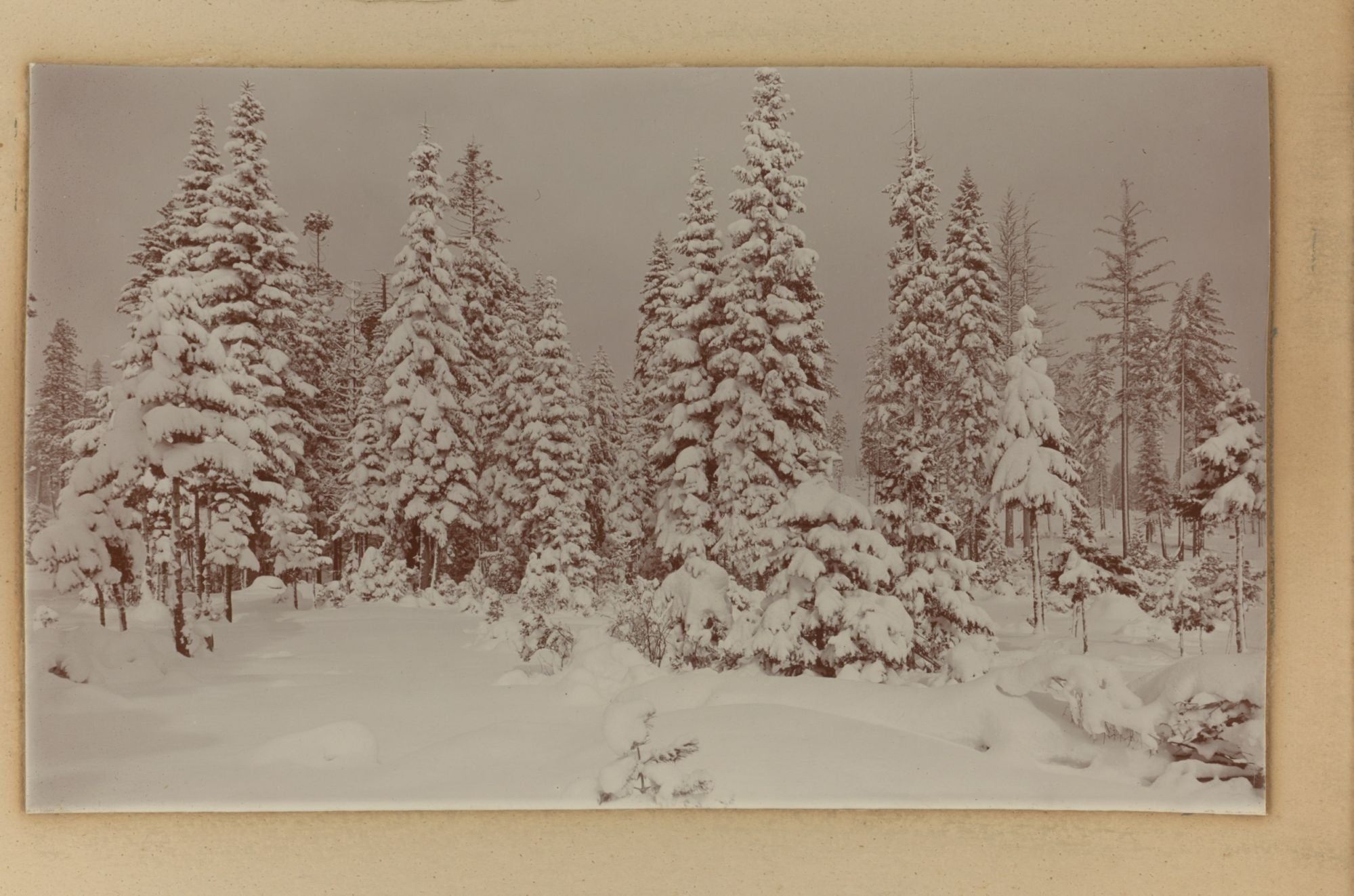
Other captioned photographs show Castle Crags, hikers summiting Mount Shasta, Mossbrae Falls, and Castle Lake (mislabeled as Crystal Lake). Photographs also show campers with their tent, small houses, a canoe on a lake, and snowy winter scenes. Overall a striking set of photographs.
The photographs are mainly from places in Siskiyou County, where Mount Shasta is located, including shots of the towns of Sisson (now Mount Shasta) and Dunsmuir, Sisson and Dunsmuir are on the Siskiyou Trail, an ancient Native American footpath running from the San Francisco area to Portland, Oregon. The Central Pacific Railroad Company completed a train line along the Siskiyou Trail in 1887; one shot from an unknown location shows railroad tracks rounding a curve among felled trees. Just outside of Dunsmuir is the Shasta Springs resort (mislabeled here as Shasta Bottling Works), famous for its springwater – the fountains of water in the photograph are from pressurized pipes coming from the springs.
Other captioned photographs show Castle Crags, hikers summiting Mount Shasta, Mossbrae Falls, and Castle Lake (mislabeled as Crystal Lake). Photographs also show campers with their tent, small houses, a canoe on a lake, and snowy winter scenes. Overall a striking set of photographs.