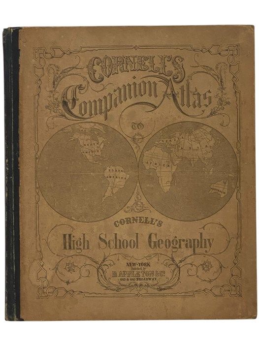
Cornell's Companion Atlas to Cornell's High School Geography: Comprising a Complete Set of Maps, Designed for the Student to Memorize, together with Numerous Maps for Reference, Etc
- Large Hardcover
- New York: D. Appleton and Company, 1864
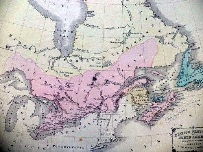
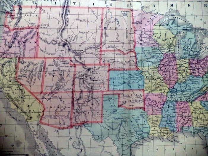
New York: D. Appleton and Company, 1864. Large Hardcover. Good/No Jacket. 0x0x0. 1864 printing. Boards toned and lightly rubbed, ink named and town on front endpaper (dated Jan 1st 1865), small newspaper clipping mounted on opposite endpaper, endpapers lightly foxed, cube sketched in pencil on rear endpaper. [36], 8 pp. A collection of hand-colored maps, some of which are different from modern maps in interesting ways: e.g., a map of Canada labeling portions as Hudson Bay Company's Territory; a United States map labeling what is now Idaho, Montana, and Wyoming as Idaho only, Oklahoma as 'Indian Territory', and showing no division between North and South Dakota.