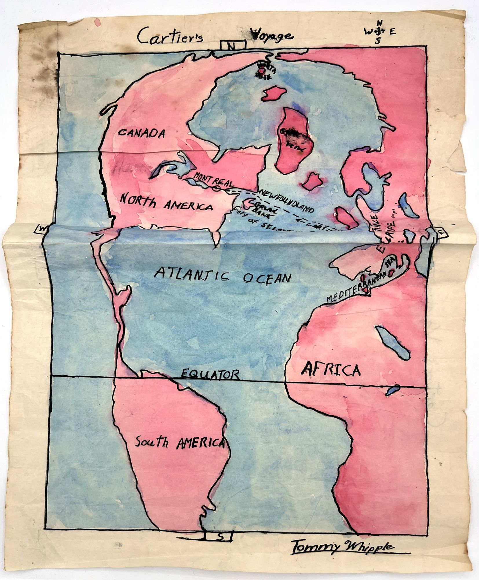
Cartier's Voyage" -- 1950s Watercolor School Cartography Project
- SIGNED
- United States , 1950
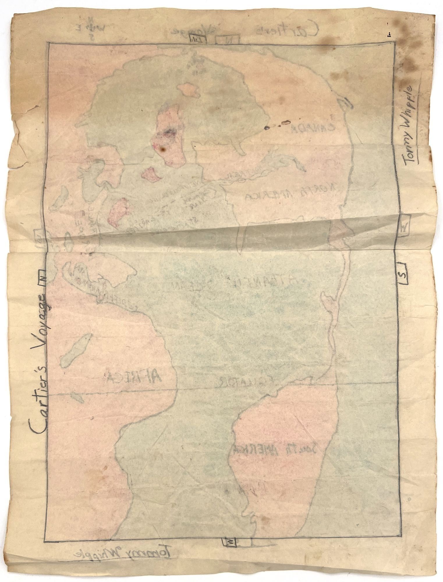
United States, 1950. Good. Water staining, toning, short tears.. A charming school cartography project signed at he bottom by "Tommy Whipple", aged 8 or 9. The project depicts the voyage of maritime explorer Jacques Cartier, the first European to map the Gulf of St. Lawrence. The student drew the map with pencil, then went over it with black ink and watercolor. Components included and labeled in the project: continents and countries; a compass rose; the Equator; the Atlantic Ocean; Cartier's journey, with his destination; and the North Pole. Measures approx. 18" by 13". Has sadly not been graded by the teacher. The perspective on the map is terrific from the eyes of a young person.