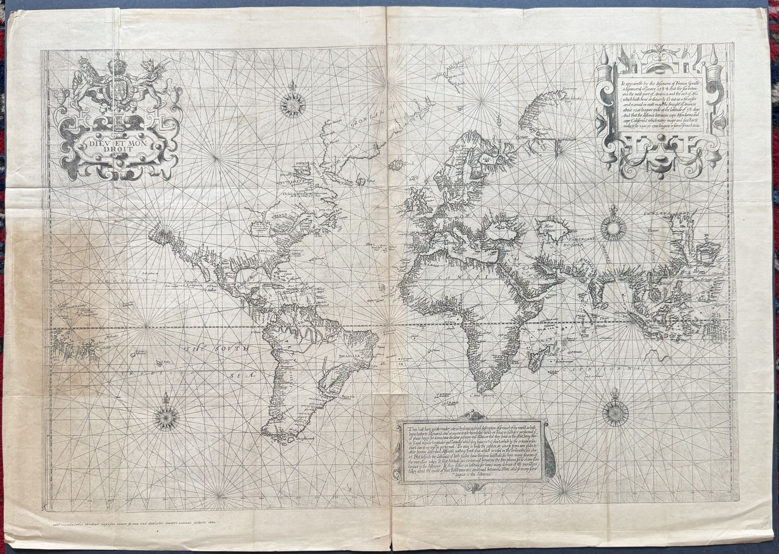
Chart of the World on Mercator's Projection
- London: Typographic Etching Company, 1880
London: Typographic Etching Company, 1880. Typographic etching, Sheet measures 19 3/4 x 28".
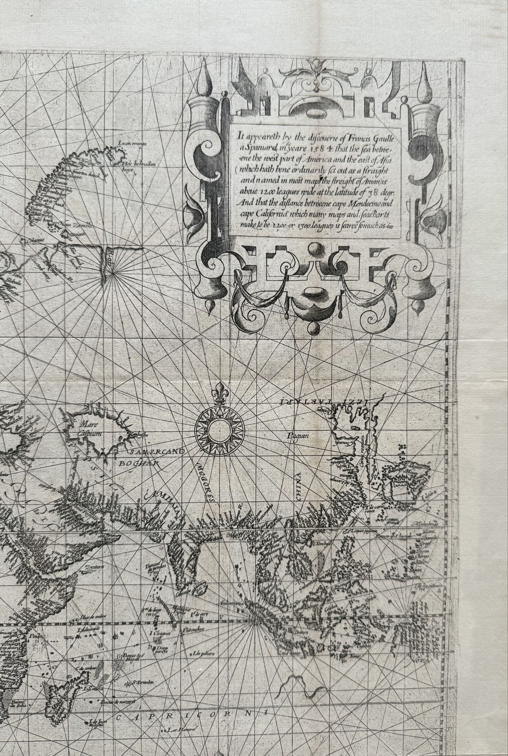
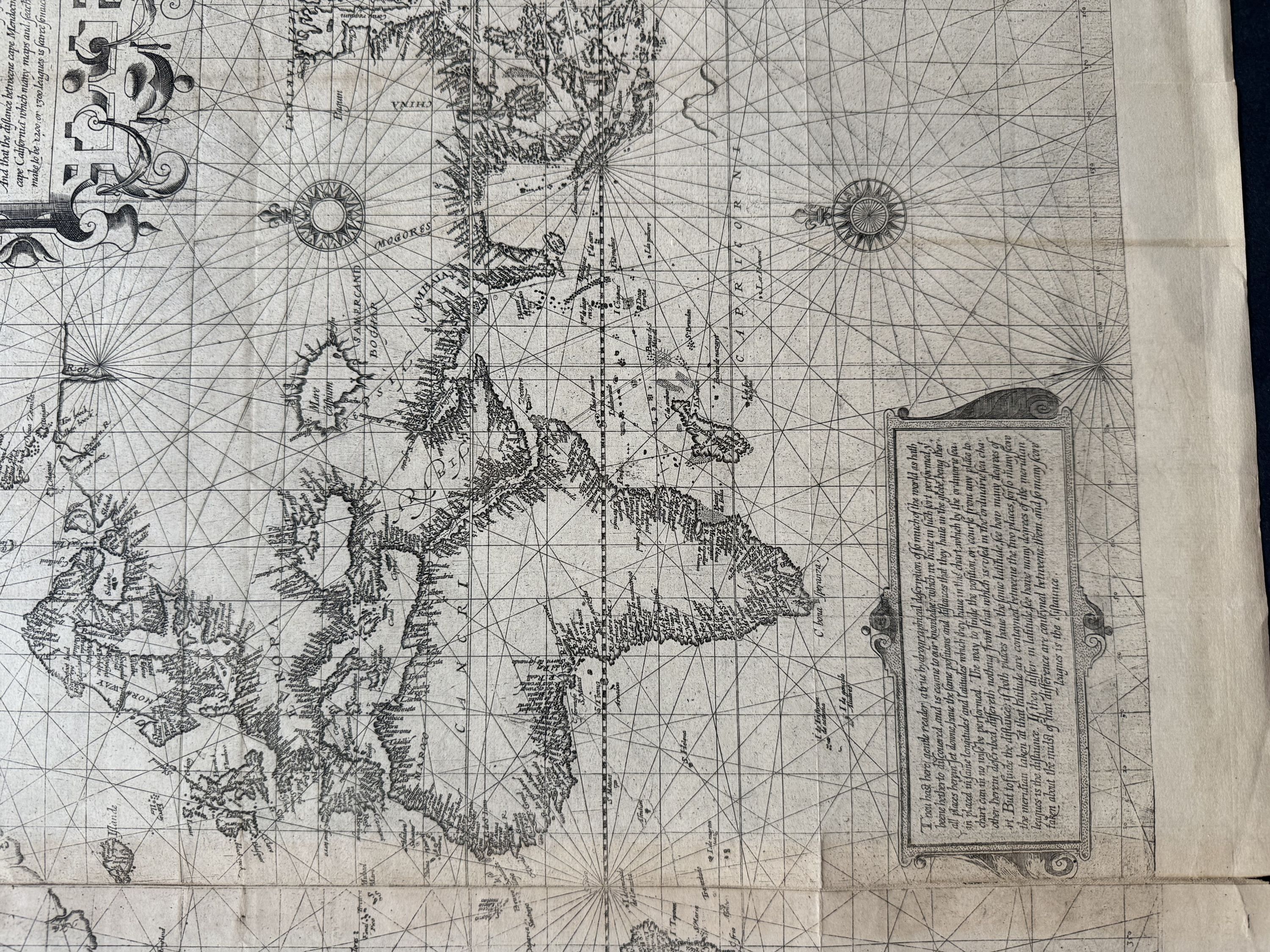
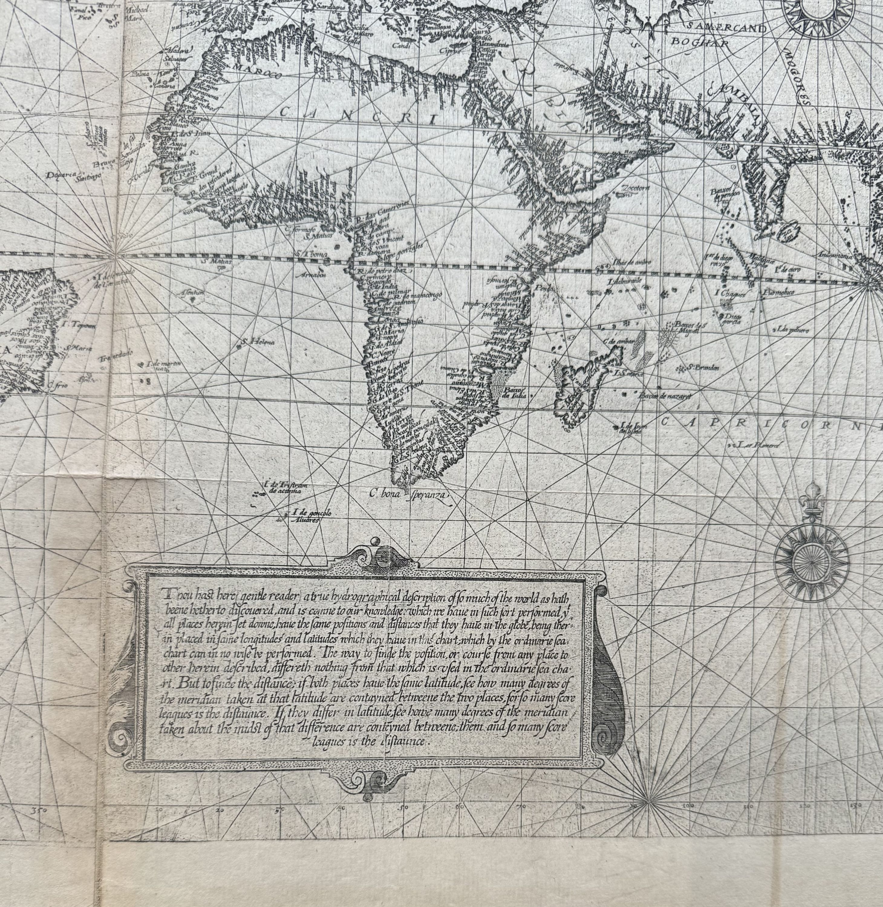
Uncommon facsimile map issued by the Hakluyt Society, named after Richard Hakluyt (1552-1616), the influential English geographer and compiler of travel accounts. This map reproduces the Wright-Molyneux world chart, originally published in 1599 and derived from a 1592 globe by English globe maker Emeric Molyneux.
The map first appeared in Edward Wrights seminal work, 'Certaine Errors in Navigation', which for the first time clearly articulated the mathematical foundations of the Mercator projection. Notably minimalist, the chart omits details for unexplored regions, leaving them blank.
An early reference to the Great Lakes appears as Lake Tadouac. A decorative cartouche in the upper left bears the royal motto Dieu et mon droit 'God and my right' used by Queen Elizabeth I and later British monarchs (excluding those in Scotland).
Curious details include the upside-down engraving of Estotiland, a legendary island from the apocryphal voyage of the Zeno brothers, and an early use of the name Canada, echoing its appearance on Forlani's 1560 Italian map.
Condition: Even overall toning with light creasing; otherwise in very good condition. Provenance: from the collection of Polish artist Stanislaw Szukalski.