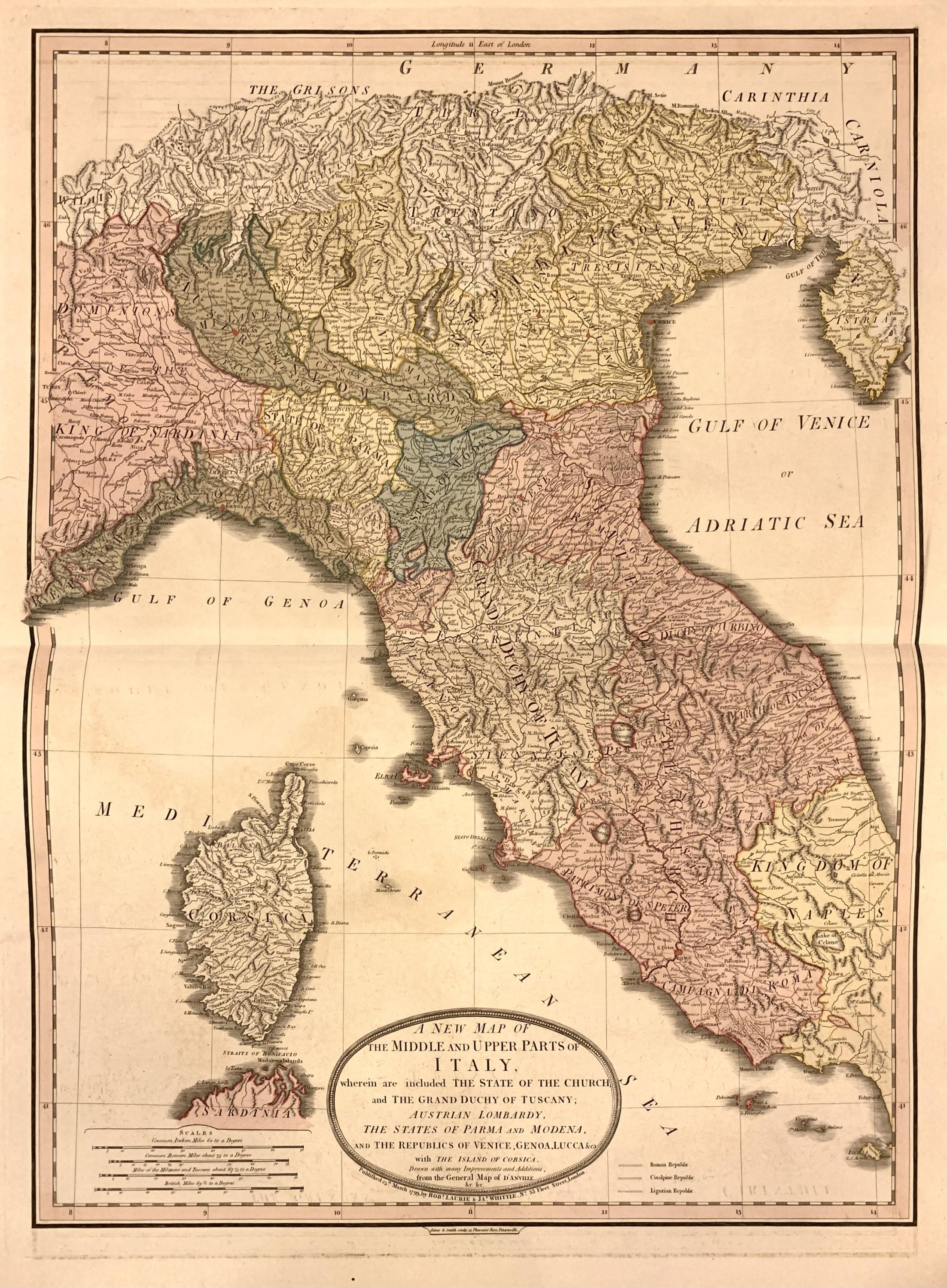
A New Map of the Middle and Upper Parts of Italy, wherein are included The State of the Church, and the Grand Duchy of Tuscany; Austrian Lombardy, The States of Parma and Modena, and The REpublics of Venice, Genoa, Lucca, & ca. with the Island of Corsica
- unbound
- London: Laurie & Whittle, 1799
London: Laurie & Whittle, 1799. unbound. Map. Engraving with original hand coloring Sheet measures 26 3/4" x 19 3/4"
Large map of Italy extending from the northern edge of the Kindgom of Naples to the Brenner Pass in the Alps, with the island of Corsica. Published by Laurie and Whittle in 1799. The map highlights numerous cities, towns, and villages, regional kingdoms and states, major roads, lakes and topography. Relief is depicted pictorially. In very good condition, with very minor offsetting. Some toning to verso, not affecting the printed map.
Robert Laurie (c. 1755 - 1836) and James Whittle (1757-1818) were London-based map and atlas publishers active in the late 18th and early 19th century. They formed their firm following the death of their employer Robert Sayer, who was an important English publisher of maps, portraits, and nautical engravings. Their firm combined Laurie's engraving skills with Whittle's social contacts and print sales experience. Together, they published numerous maps and atlases, often enlisting prominent cartographers such as Kitchin, Faden, Jefferys and others to update and modify their plates.
Robert Mylne (1733-1811) was a notable Scottish architect and civil engineer, best remembered for designing Blackfriars Bridge in London. His architectural training continued in Rome under Giovanni Battista Piranesi, where he studied Ancient Roman aqueducts. In 1757, Mylne toured Sicily with diplomat Richard Phelps and antiquarian Matthew Nulty, creating sketches and measured drawings of antiquities. His work in Sicily contributed to his studies, though the anticipated book was never published. Mylne's professional journey was marked by a long and productive career.