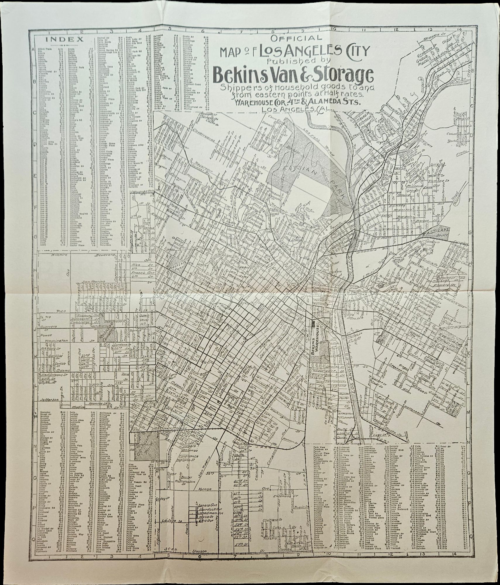
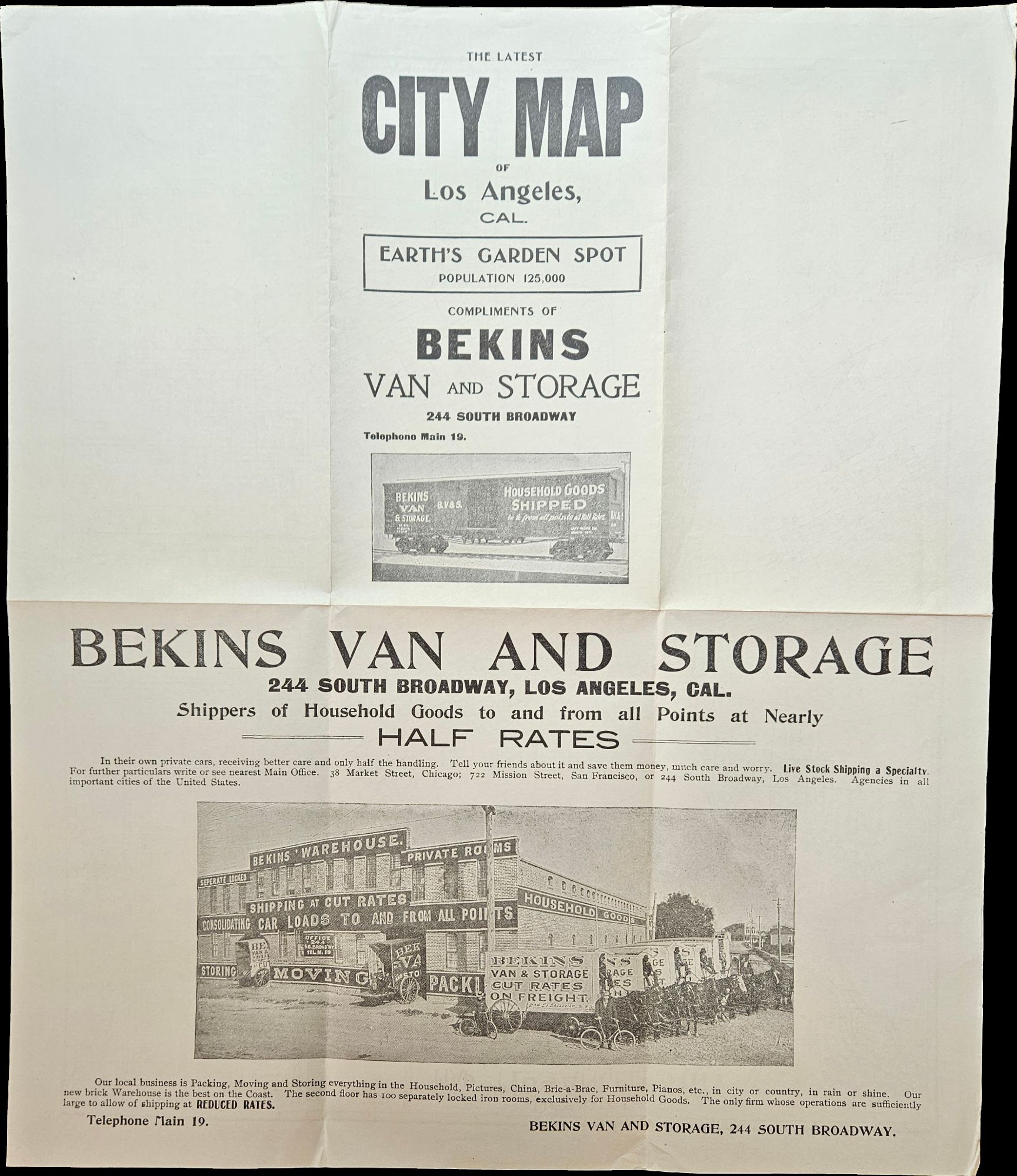
The Latest City Map of Los Angeles, Cal. / Earth’s Garden Spot / Population 125,000
- Map measuring 15 ¼ x 13 ¼ inches
- Los Angeles, California: Bekins Van & Storage, 1910
Los Angeles, California: Bekins Van & Storage, 1910. Map measuring 15 ¼ x 13 ¼ inches. Folded with some wrinkling; Near Fine.. A map of Los Angeles between Aldama Street, South Indiana Street, Slauson Ave, and Arlington Street, published by Bekins Van & Storage. The map is undated, but based on the city’s population listed on the map—a mere 125,000—it was created some time between 1900, when the population was about 103,000, and 1910, when it had ballooned to over 319,000.