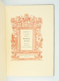
A LEAF FROM THE MERCATOR-HONDIUS WORLD ATLAS EDITION OF 1619 WITH AN ESSAY BY NORMAN J. THROWER
- SIGNED
- Fullerton, California: Stone & Lorson, 1985
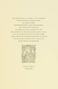
Fullerton, California: Stone & Lorson, 1985. ONE OF 89 COPIES in quarter vellum (of a total edition of 115). 490 x 325 mm. (19 1/4 x 13"). viii, 23, [1] pp., [1] leaf.
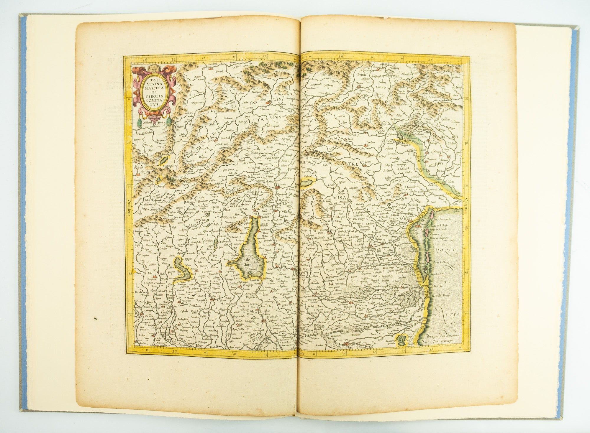
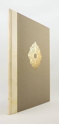
Publisher's quarter vellum over gray paper boards, covers with device in gilt, smooth spine lettered in gilt. In (just slightly chafed) black buckram slipcase. WITH A MAP FROM THE ORIGINAL 1619 ATLAS bound in, with period hand coloring. (Map 293, "Tarvisina Marchia Et Tirolis Comitatus"). De Hamel & Silver, "Disbound and Dispersed" 186. One corner a bit bumped, otherwise the main volume flawless; the map edges a bit browned and just slightly frayed, a few light spots, but still excellent, with good color and strong general appeal.
This attractive oversized production includes an original map of an important region of northeastern Italy, taken from the 1619 edition of the Mercator-Hondius atlas. A pioneer in commercial cartography and a founder of the Netherlandish school of cartography and geography, Mercator (1512-94) produced maps used around the world that were informed by his brilliant "Mercator Projection," which allowed the round Earth to be accurately depicted on a flat map. Near the end of his life, he began work on an ambitious cosmography that would contain an account of the creation of the world, a description of the universe, descriptions of the countries and oceans of the world, genealogies and political histories of the several countries, and a chronology of the cosmos. Only the account of creation, the chronology, and maps of the known regions of the world came to fruition. Mercator having died before the work came to press, it was completed by his heirs and published in 1595 with 107 maps. Leading Amsterdam map publisher Jodocus Hondius (1563-1612) acquired the plates in 1604 and issued the first Mercator-Hondius "Atlas" in 1606, with 37 maps he had engraved added to the original 107. Teacher and Hondius' brother-in-law Pieter van den Berg wrote the introduction and the descriptive text that appears on the versos of the maps. A 1611 edition increased the number of maps to 150, and another six were added in 1619. The hand-colored map included in our copy depicts the South Tyrol and Veneto regions, including Lake Garda, Verona, Padua, and Venice. It is accompanied with an essay by Norman J. W. Thrower (1919-2020), UCLA geography professor and cartographer, describing the historical background of the atlas. Joel Silver, in "Disbound and Dispersed," tells us that "the physical production of this leaf book is superb, from the design by Vance Gerry to the presswork of Patrick Reagh.".