Asher & Adams' Washington
- unbound
- New York: Asher & Adams, 1873
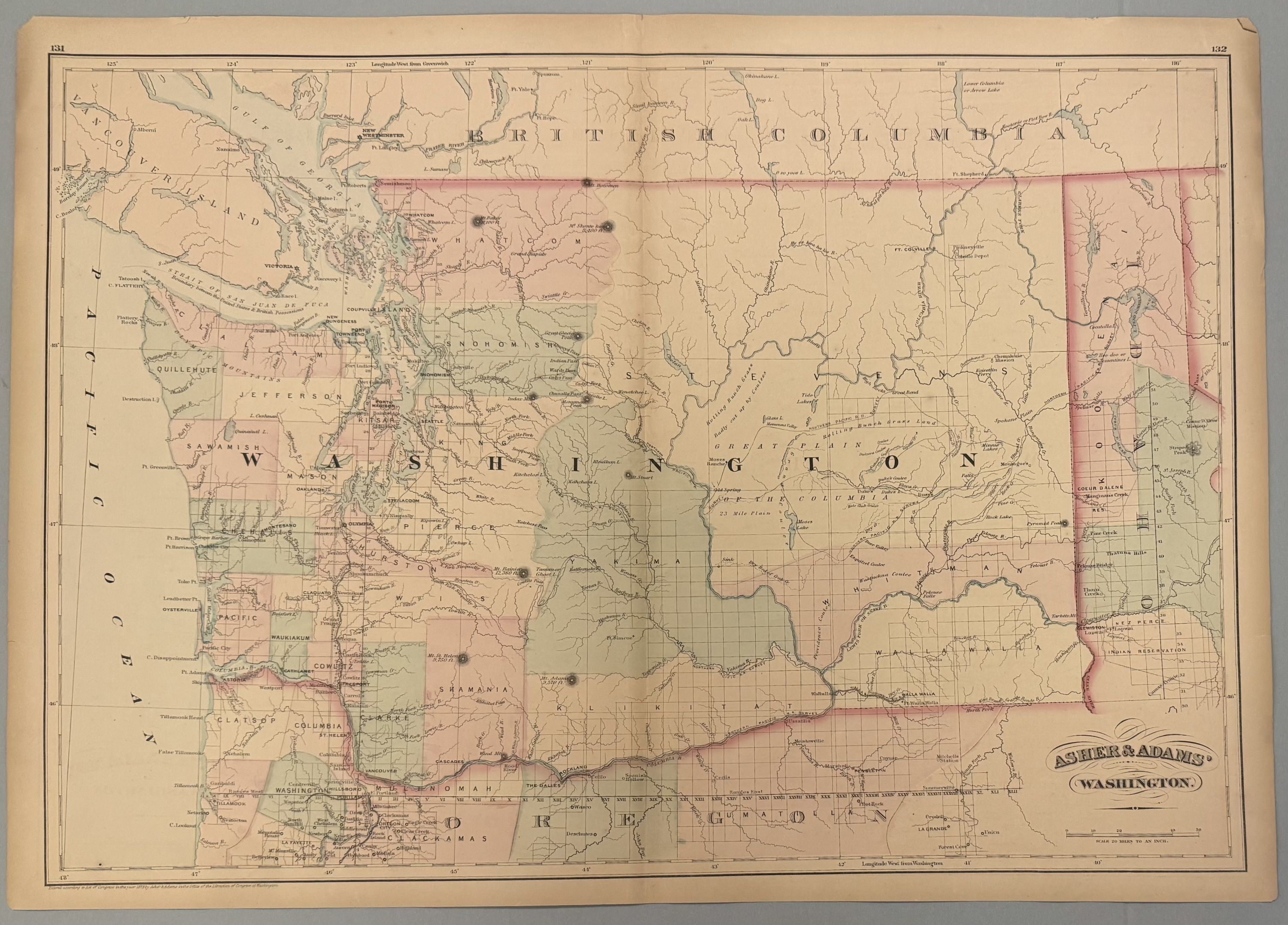
New York: Asher & Adams, 1873. unbound. Map. Engraving with original hand coloring. Image measures 15.75" x 22.5".
Beautiful, large double page map of Washington divided into counties and townships. Also includes parts of Idaho, Oregon, and British Columbia. Delineates towns, waterways, topographical features, Native American tribes and railroad lines. Chips and tears to edges.
Asher & Adams were publishers based in Washington and New York in the late 19th century.