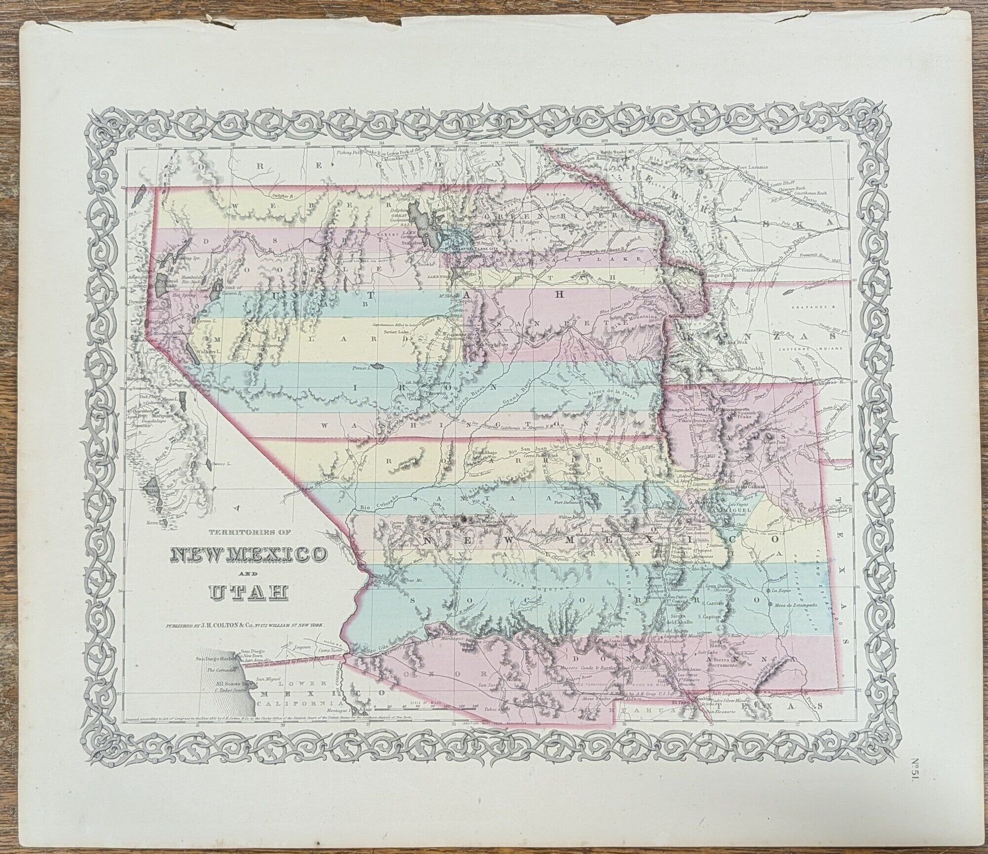
Territories of New Mexico and Utah
- Map
- New York: J. H. Colton & Co (172 William St.), 1855
New York: J. H. Colton & Co (172 William St.), 1855. Map. Very Good. Map [18" by 16"] with decorative borders. With one page of informational text. Margins of map and text with intermittent closed and open edges. No. 51 from "Colton's Atlas of the World." Moffat 39. Wheat 832. Counties colored as they existed in 1855. Illustrates natural features, populated places, proposed railroad routes, and explorers' routes. Moffat points out, "Fillmore City is the capital. Shows Fremont's routes, the Spanish Trail, and 'route explored for Pacific RR.' Sevier Lake is called Nicolette Lake and is shown to be dry. 'Preuss Lake' is out on the Escalante Desert.