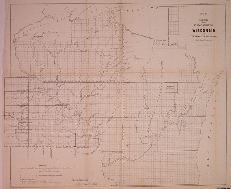
(No. 1) Sketch of the Public Surveys in Wisconsin and Territory of Minnesota
- unbound
- New York: Ackerman Lith, 1856
New York: Ackerman Lith, 1856. unbound. very good(+). Map. Uncolored lithograph. Image measures 17.25" x 21".
Nice map of Wisconsin and Minnesota illustrating the progress of public surveys. Denotes waterways, Indian reservations, and townships. Left margin cropped, minor toning along folds and light scattered foxing.
Nice map of Wisconsin and Minnesota illustrating the progress of public surveys. Denotes waterways, Indian reservations, and townships. Left margin cropped, minor toning along folds and light scattered foxing.