Atlas Designed to Accompany Willett's Easy Grammar of Geography.
- Poughkeepsie:? , 1826.
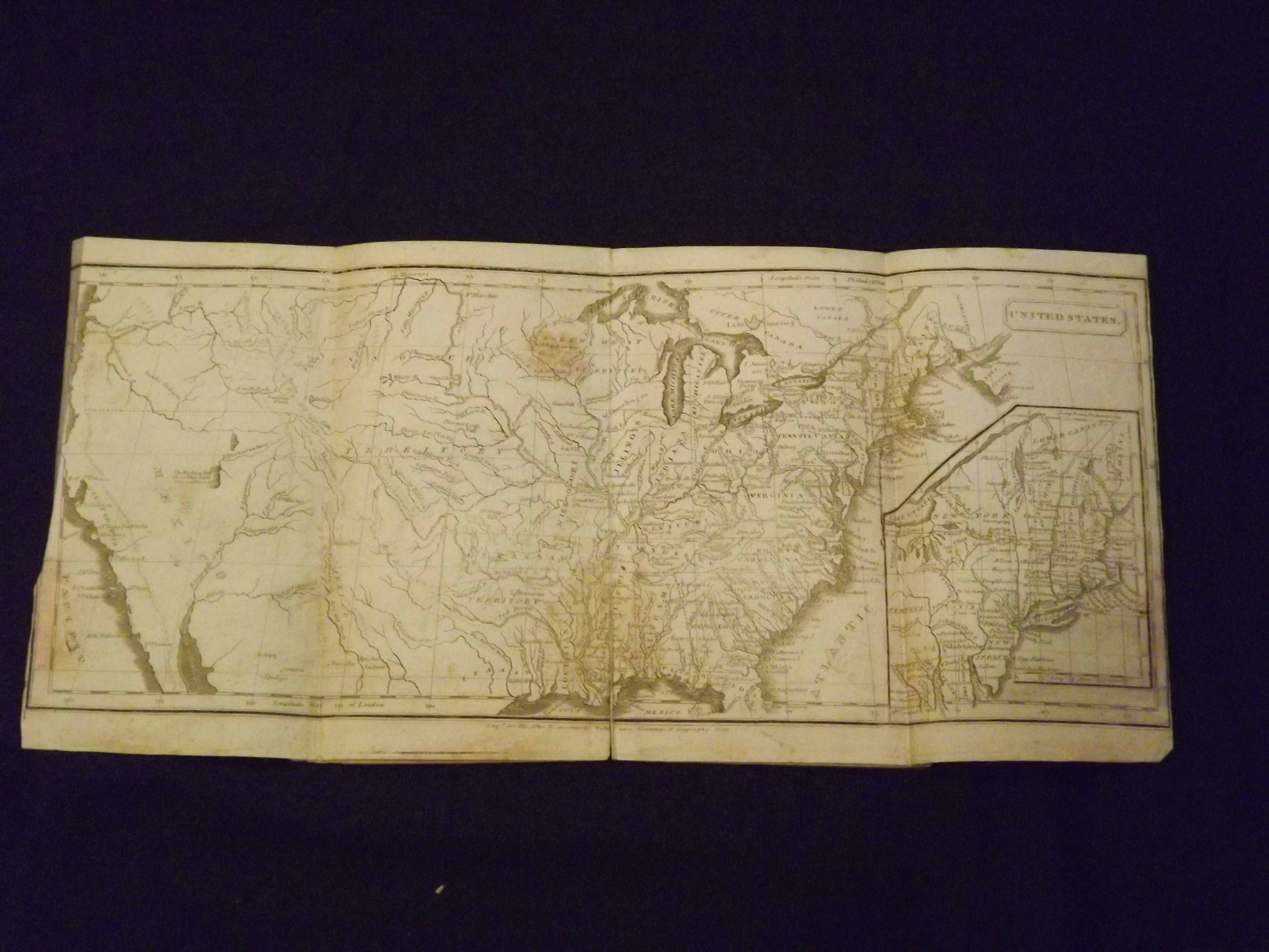
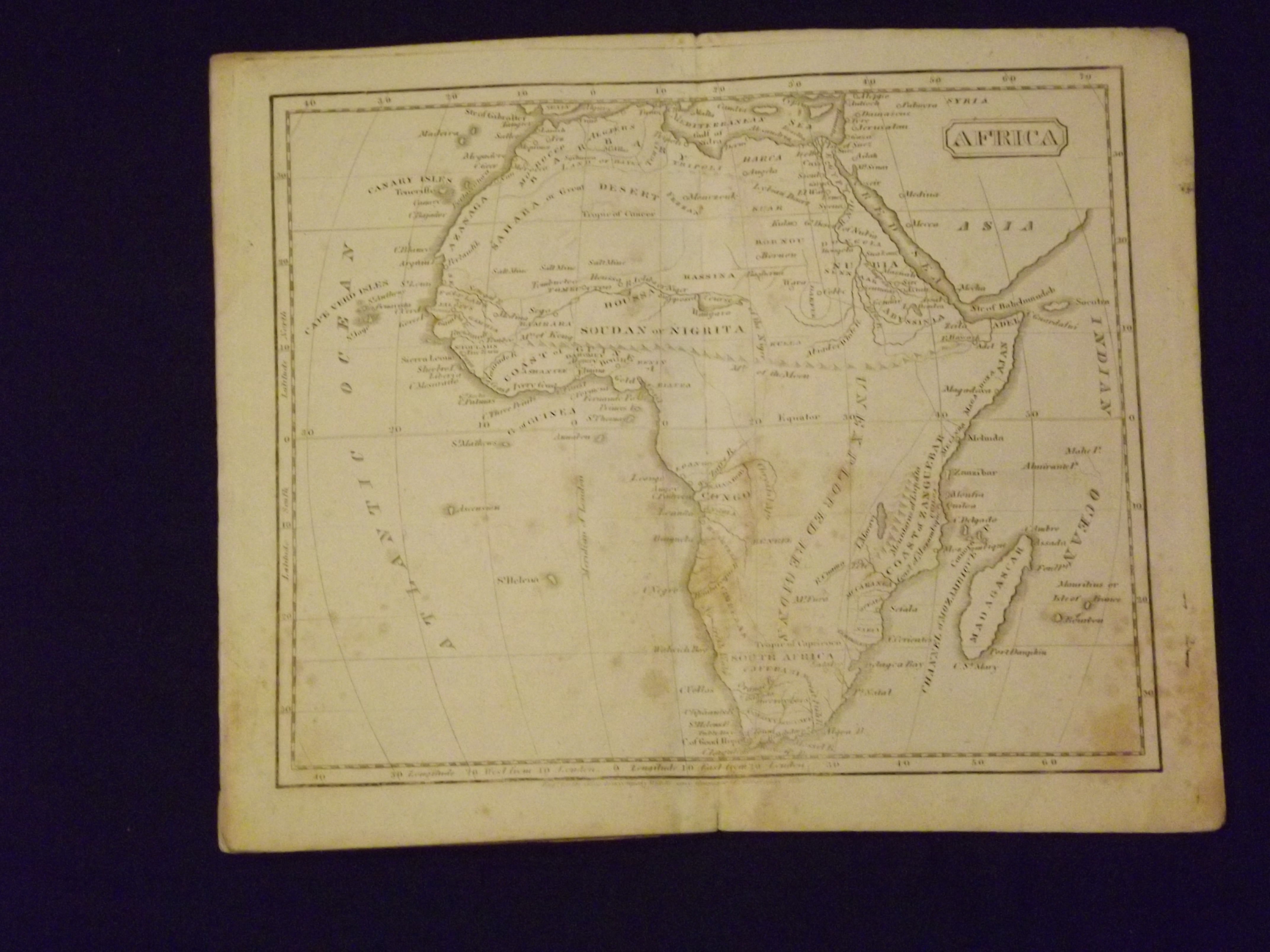
8vo, pamphlet format, later blue wrappers, seven engraved maps. Scattered foxing and browning, heavy in some places. Some folds at edges, a couple of small holes, map of the United States split at center fold about half way up, paper spine gone. This work was a children\'s atlas, which contains no text, and was meant to accompany Willetts Easy Grammar of Geography. The atlas shows the United States as not really going past Illinois at this point, and a significant part of the Southwest is shown as part of Mexico. Much of the upper Midwest is part of what is referred to as the Missouri Territory. Even the eastern part of the U.S. indicates some territories belong to the Indians. The map of Frica shows little detail, indicating very large unexplored areas. Willetts is best known for his map of New York State (1815). Rumsey 1210.