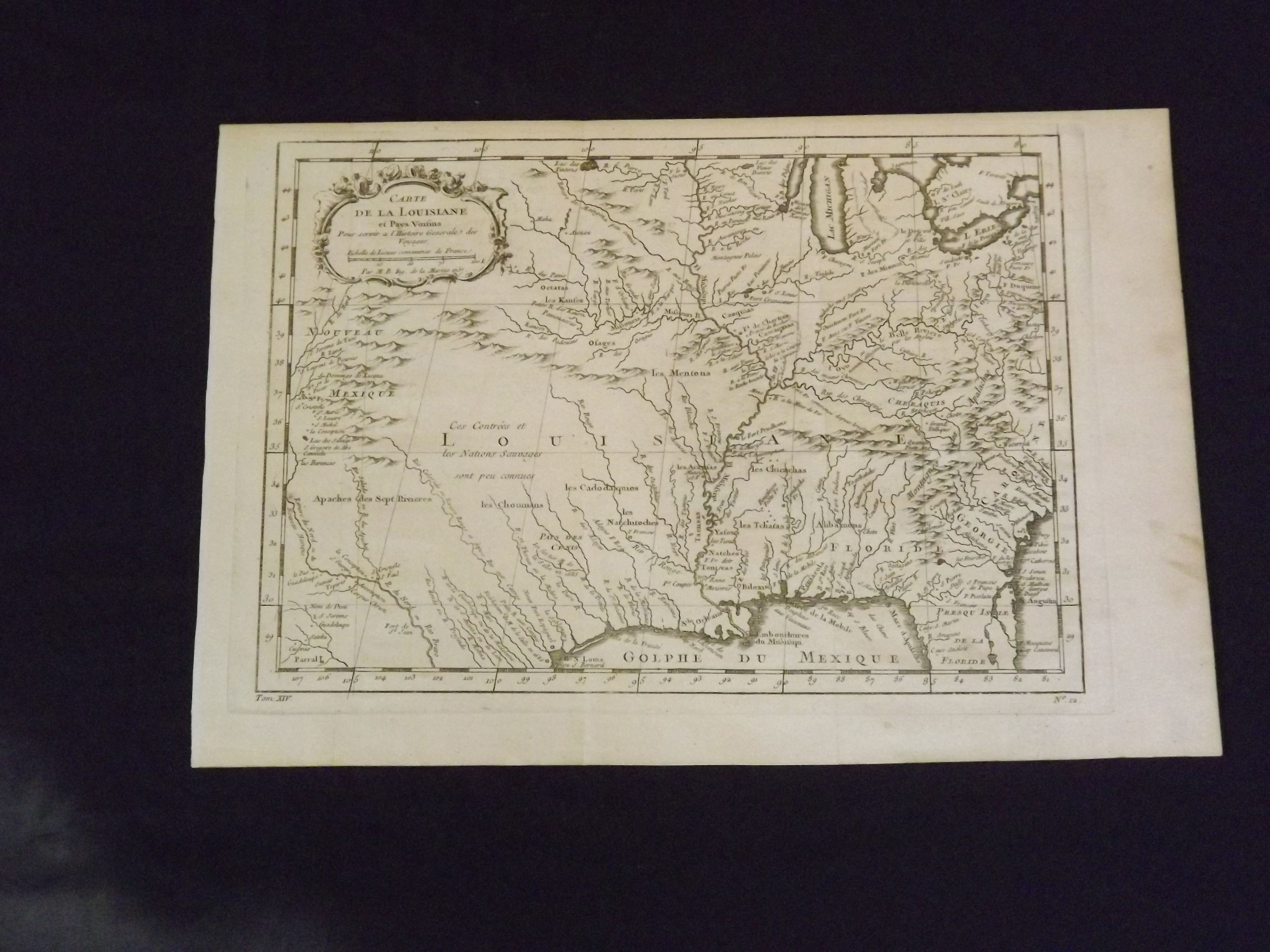
Carte de Louisane et Pays Voisins Pour sevir a I' Historie Generale des Voyages.
- [Paris]: , 1757.
Small folio sheet, 30.5 x 22.4 cm (12" x 8.8"), uncolored. A little aging and browning in the right margin, creased a little at folds, slight tear or nick in lower margin; very clear impression and in very nice condition overall. Bellin (1705-1772) born in Paris and educated as engineer, became a cartographer to the King of France, and was known for his prolific output (Tooley: The Mapping of America). This excellent colonial period map is after Delisle's map of the Mississippi and Louisiana. Finely engraved, with considerable detail, the map shows the Louisiana territory extending from the great Lakes to the Gulf of Mexico, but also includes New Mexico (showing Santa Fe), parts of Northern Florida, Georgia, and the Carolinas. Many Indian place names (including Apaches), forts and European settlements are shown. Map also has small, but attractive decorative cartouche. Tooley: Mapping of America.