Railroad Map of the United States.
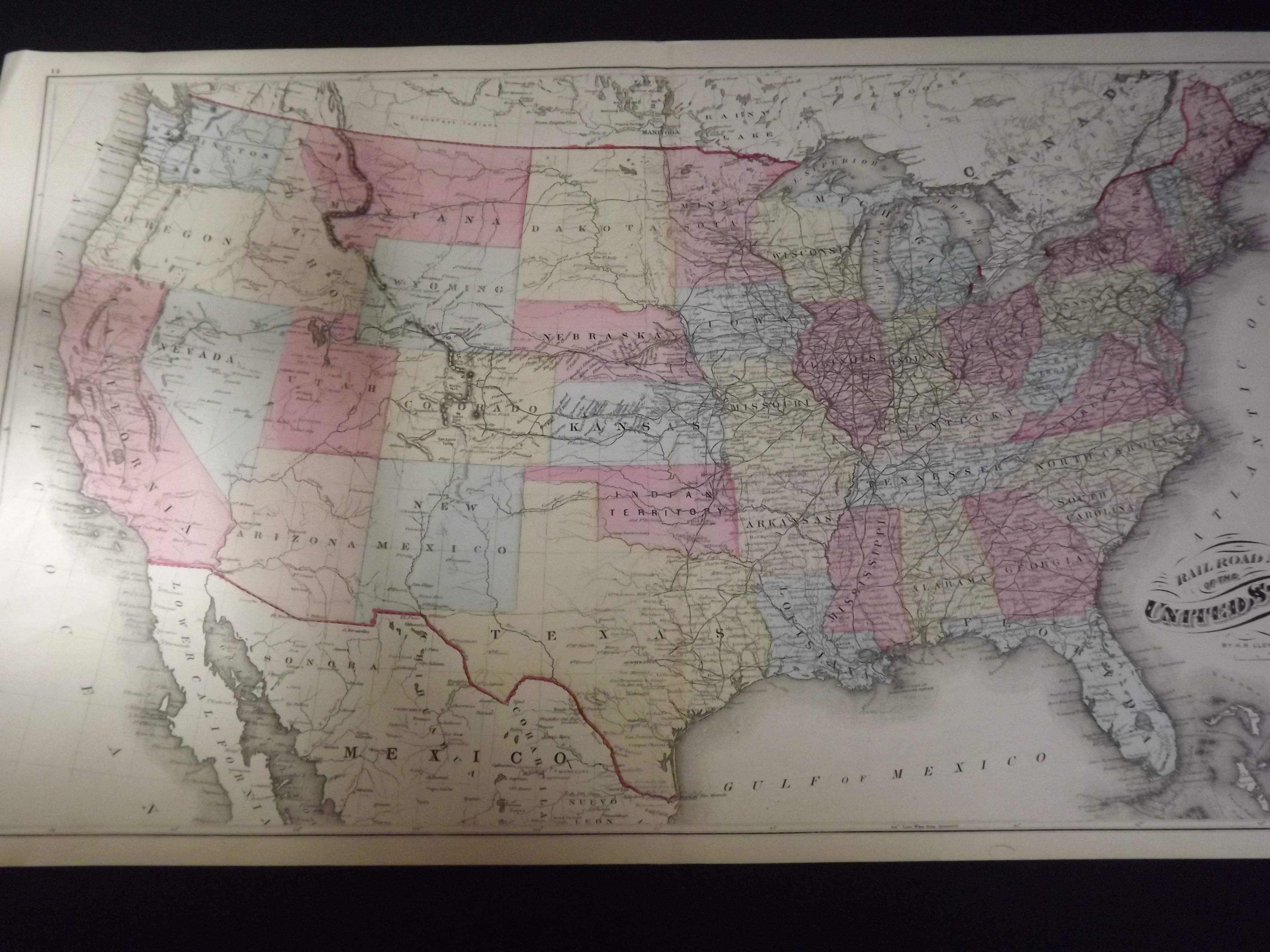
- New York: : H.H. Lloyd & Co.,, [1876].
Colored map, 17" x 28", 3/4" top and bottom margins, one inch margins on sides. Slight toning, map of North America on reverse of half the map, but not affecting image; otherwise very good. Attractive bright and clean railroad map of the United States, by the short lived H.H. Lloyd publishing company. The map illustrates the Indian Territory in the Northern part of Texas, just below Kansas and Nebraska.