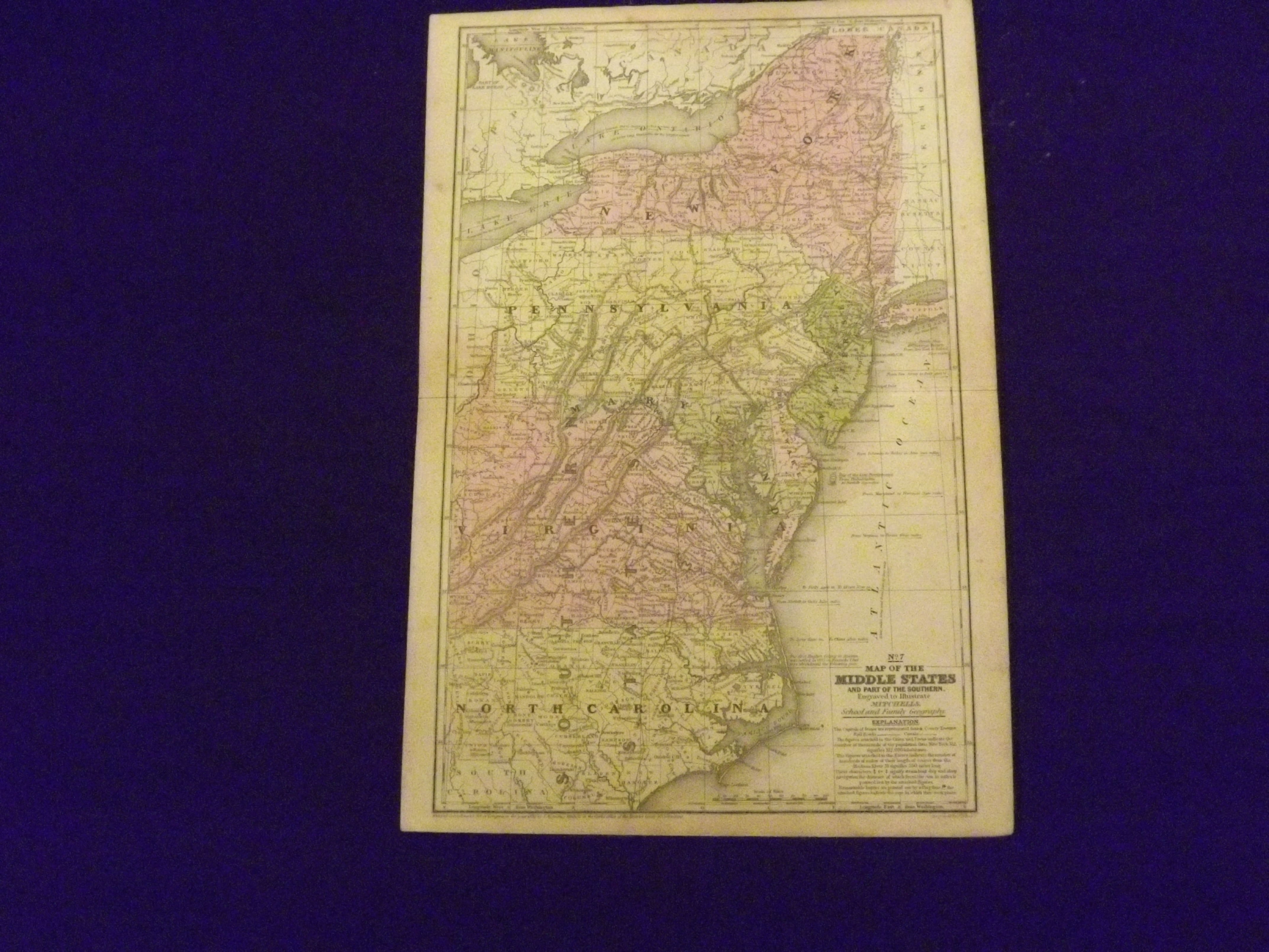
Map of the Middle States and Part of the Southern.
- Connecticut: : S. Augustus Mitchell,, 1839
Engraved colored map, 11" x17", cartouche with map information. Some slight soiling, toning and browning, archival tape repairs on reverse near split, relatively decent margins; map is generally bright and clean. Early Mitchell map of the Middle States the Mitchell's School & Family Geography. New York, Pennsylvania, and Virginia are the most visible, but a significant portion of North Carolina is also shown.