Map of the Chief Western States and Part of Virginia.
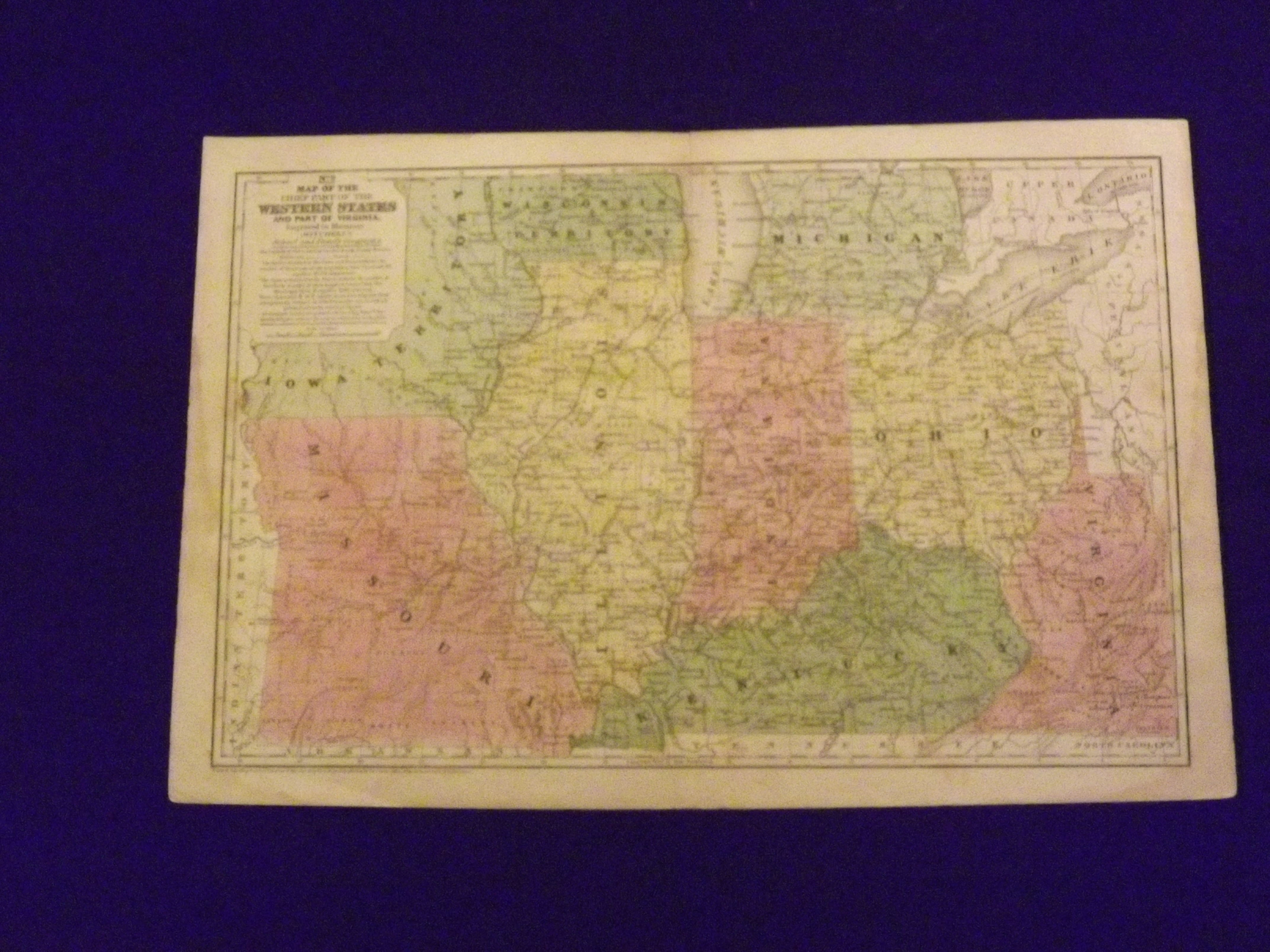
- Connecticut:: S. Augustus Mitchell,, 1839.
Engraved colored map, 11" x17", cartouche with map information. Some slight soiling, toning and browning, small archival tape repair on reverse near split (insignificant) perhaps faint staining in the lower left margin, decent margins; map is generally bright and clean. This is an interesting early Mitchell map of the Western States and Territories from the Mitchell's School & Family Geography. The states furthest west at this point are Illinois and Indiana. Iowa and Wisconsin are still shown as territories.