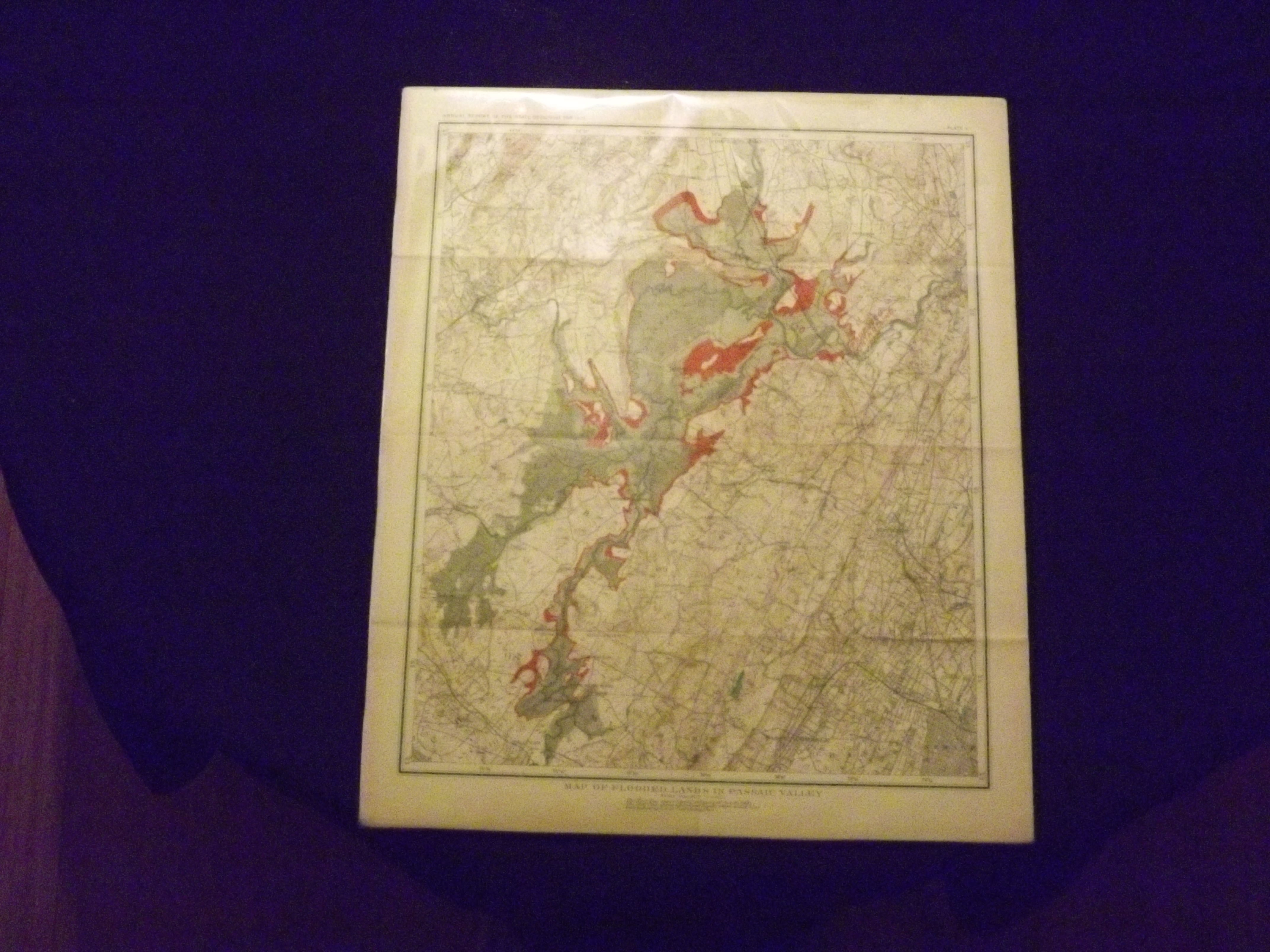
Map of Flooded Lands in Passaic Valley.
- [Trenton]:: [Macrellish & Quigley],, [1904].
Large map (16" x 18") partially colored, source title in upper margin, map caption in lower margin, ample margins, three folds. Laid down (cannot be removed from acid free board), some minor aging and browning; otherwise very good. Interesting map showing flooded area in the Passaic Valley with red coloring. From the Annual Report of the State Geologist for 1903 (Plate V).