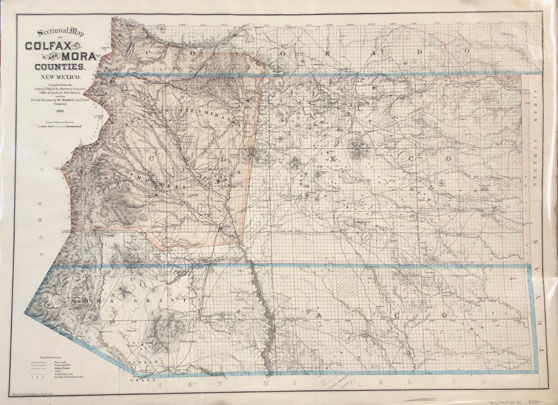
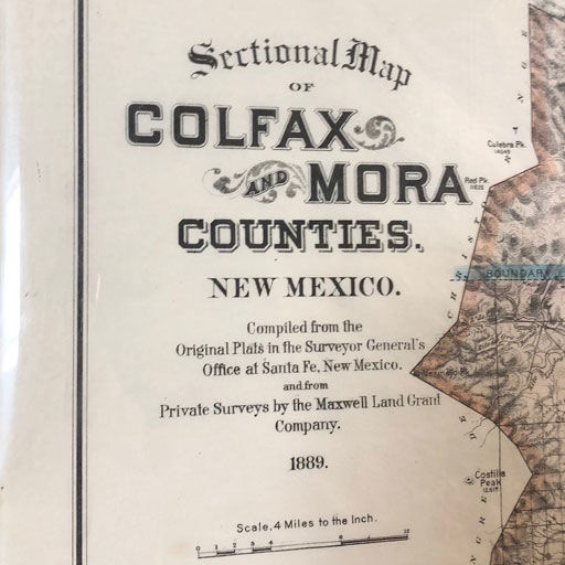
Sectional Map of Colfax and Mora Counties, New Mexico
- Denver, CO: Edward Rollandet, Draughtsman, 1889
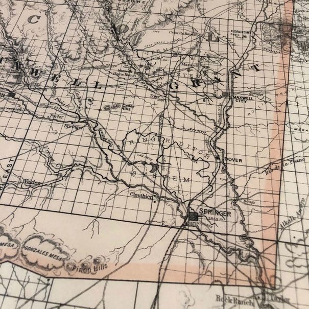
Denver, CO: Edward Rollandet, Draughtsman, 1889. Large map measuring 28" by 39". The county lines are hand tinted in color. Map is in very nice condition with only minor age toning at the extremities. Compiled from the Original Plats in the Surveyor General's Office at Santa Fe, New Mexico, and from private surveys by the Maxwell Land Grant Company
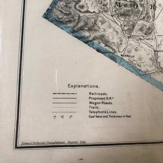
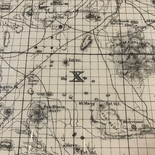
A nice large map showing the extent of the famed Maxwell Grant in central New Mexico and parts of Colorado. This map shows much of the grant already platted and reveals extraordinary detail about the area, including all of the settlements, some of the ranches, mining operations, pasture land, railroad lines, proposed lines, wagon roads, trails telephone lines and even Maxwell's home ranch.
A nice large map showing the extent of the famed Maxwell Grant in central New Mexico and parts of Colorado. This map shows much of the grant already platted and reveals extraordinary detail about the area, including all of the settlements, some of the ranches, mining operations, pasture land, railroad lines, proposed lines, wagon roads, trails telephone lines and even Maxwell's home ranch.