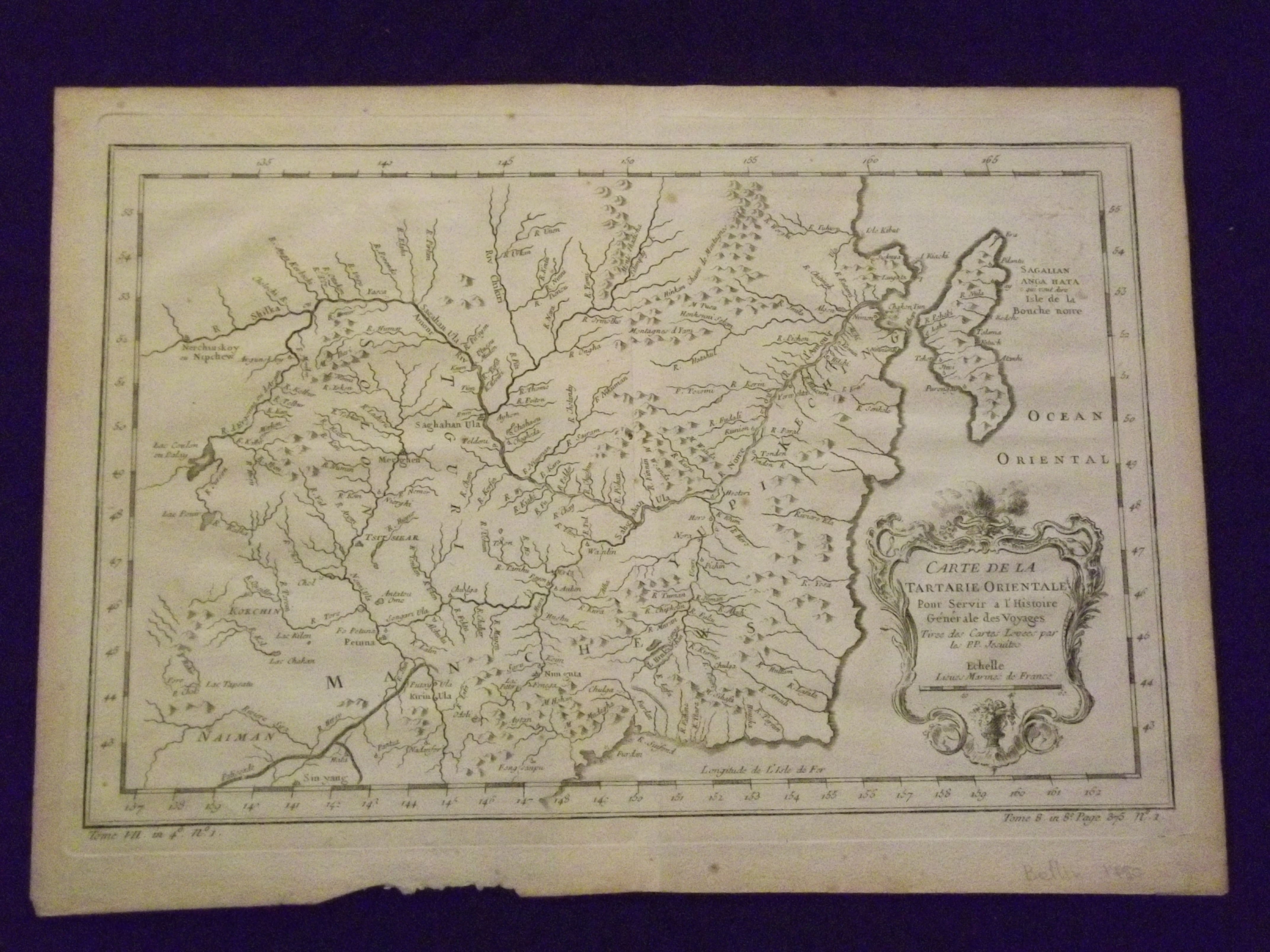
Carte De La Tartarie Orientle…
- [Paris]: , c1780
Small engraved map (9 1/2" x 12 1/2"), uncolored, cartouche. Some aging and browning, some minor chips and tears at bottom of wide margin; otherwise very good. Bellin (1703-1772) was considered one of the most prominent cartographers of the 18th century in a career that lasted about 50 years. This map was first published around 1750, and features Manchuria and part of Tartary (Tartaria).