Atlas of Luzerne County, Pennsylvania.
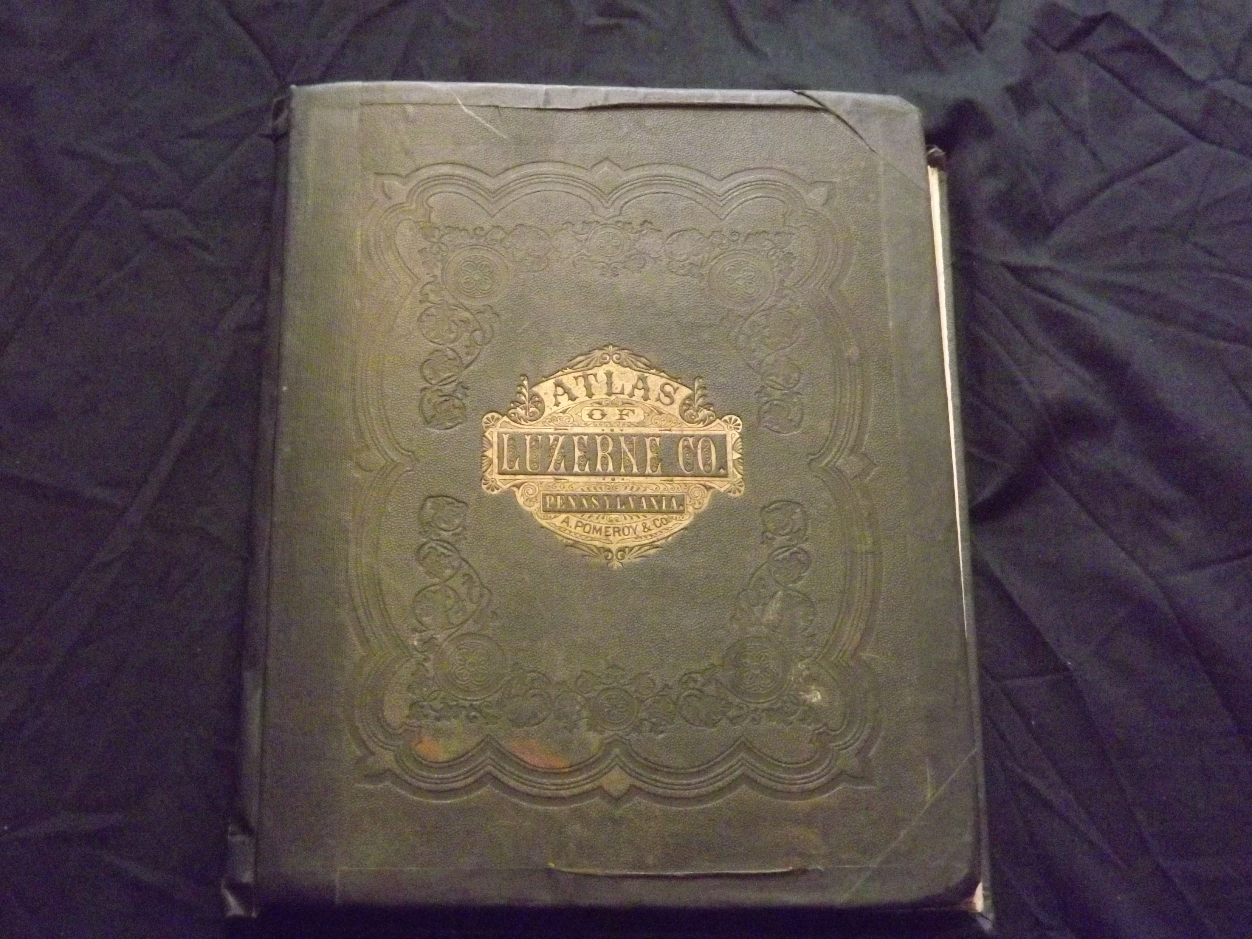
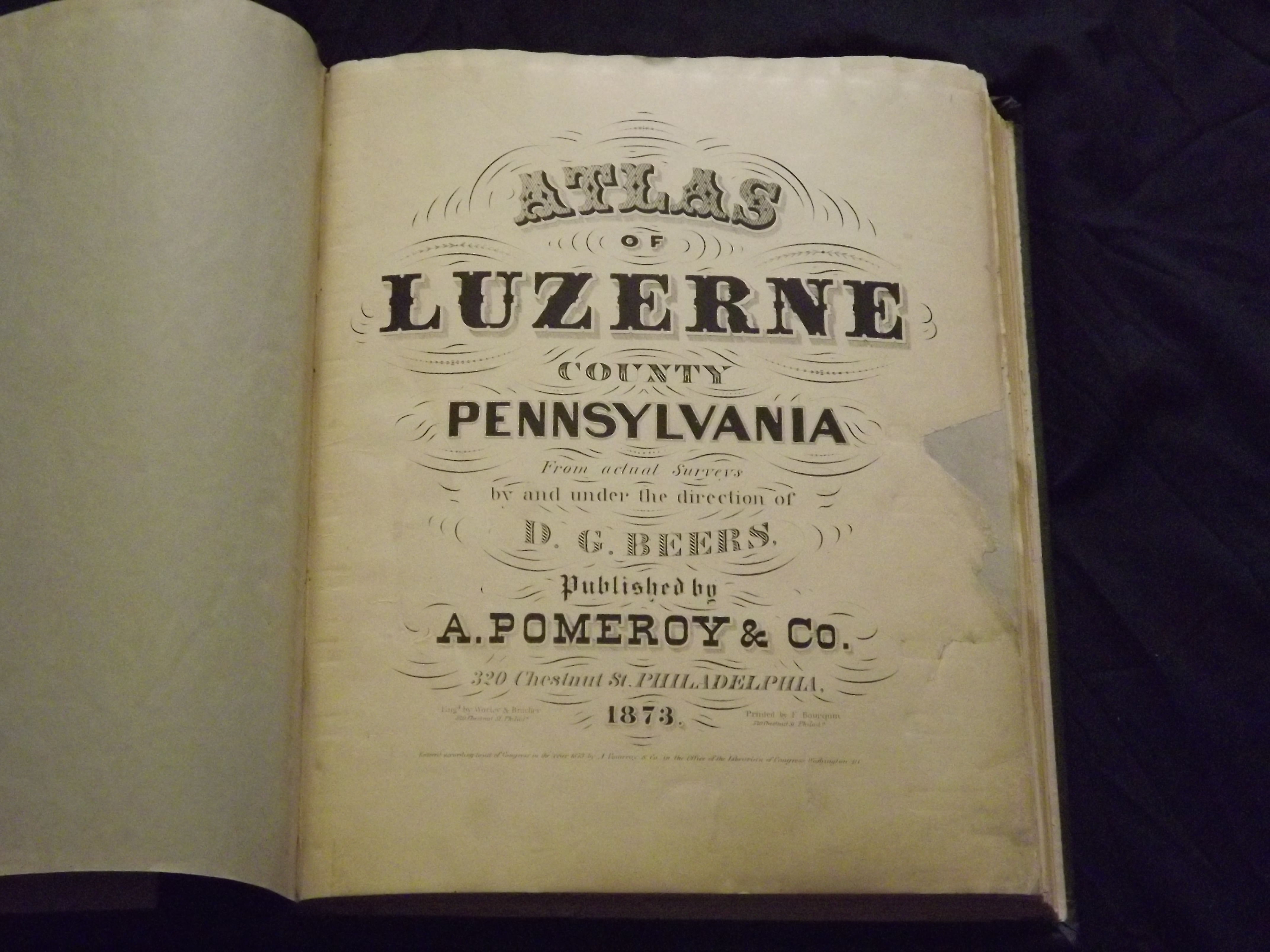
- Philadelphia: A. Pomeroy & Co.,, 1873.
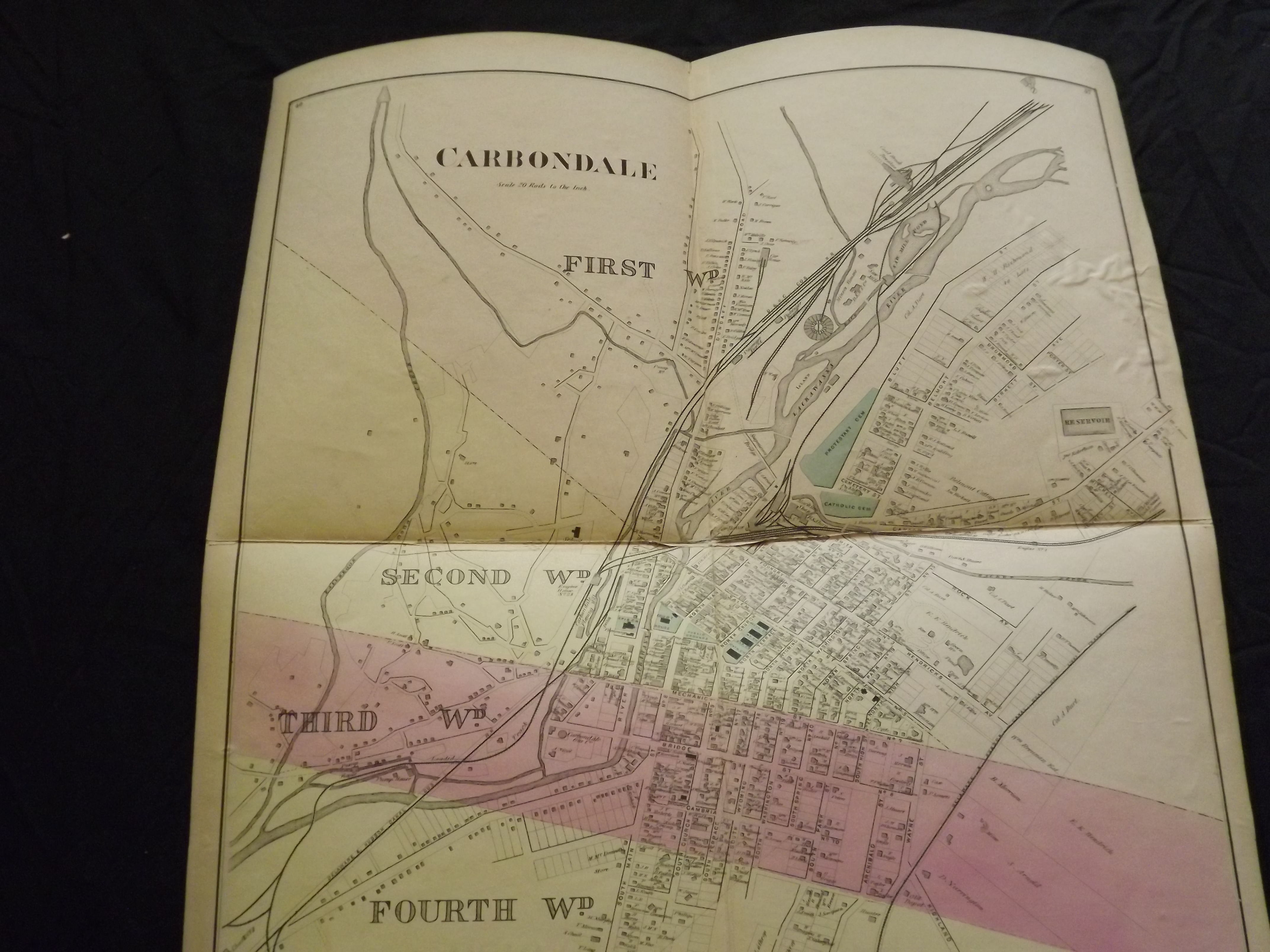
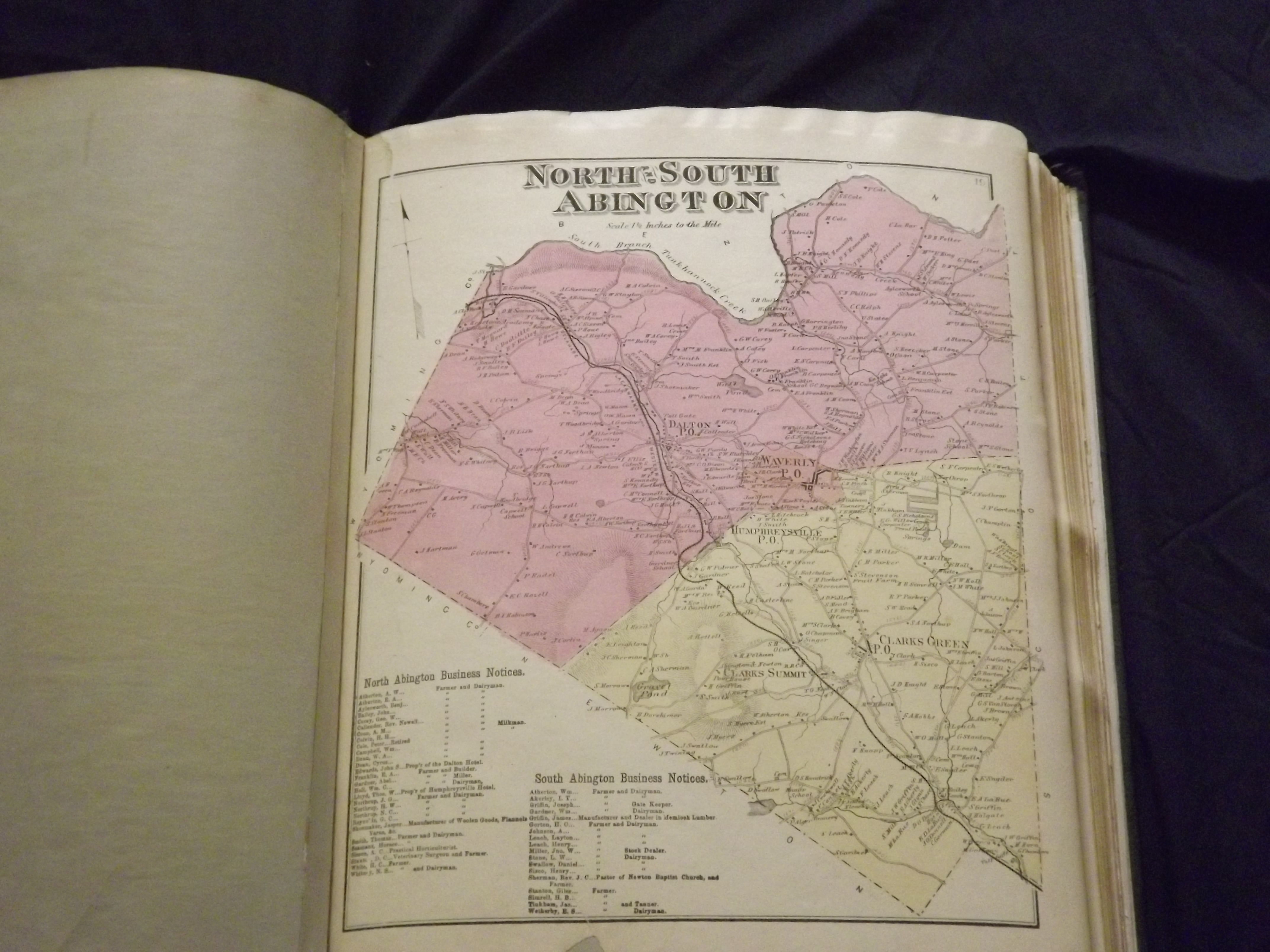
Folio, 14 3/4"x 12 1/2", with original blindstamped cloth covers, but rebound, new cloth edges corners, and spine, new endpapers, original gilt lettering, illustrated with 71 colored maps and plans, 183 pp. Spine leaning, soiling and abrasion to upper rear cover, despite rebacking some wear to binding, hinges reinforced, paper is somewhat brittle, each sheet, including title page reinforced with thick grey paper backing, title chipped and pieces are missing, not affecting text, map of Pennsylvania has piece missing, some warping of these sheets, but maps don't appear to be affected, 4" tear to index page (archival tape repairs), a couple of maps with some edge chipping or margin pieces missing, some minor wrinkling along top edge throughout, Mount Pleasant map wrinkled at one fold, may be missing some of the individual map information typically provided on the rear of the map, but all maps are present; despite rebacking and a little soiling and browning contents are very good in a good and stiff binding. Somewhat scarce county atlases, with 71 maps, 15 are double page. Map of Carbondale is a four sheet map that is laid in. Includes maps of Pennsylvania, Luzerne County, Scranton, Pleasant Valley, Sugar Loaf, Kingston, Benton and Hazlleton. Despite its flaws, a very decent atlas. Extra postage will be required. OCLC. Phillips 2482. # 102338
$650