Colton's Map of South Carolina.
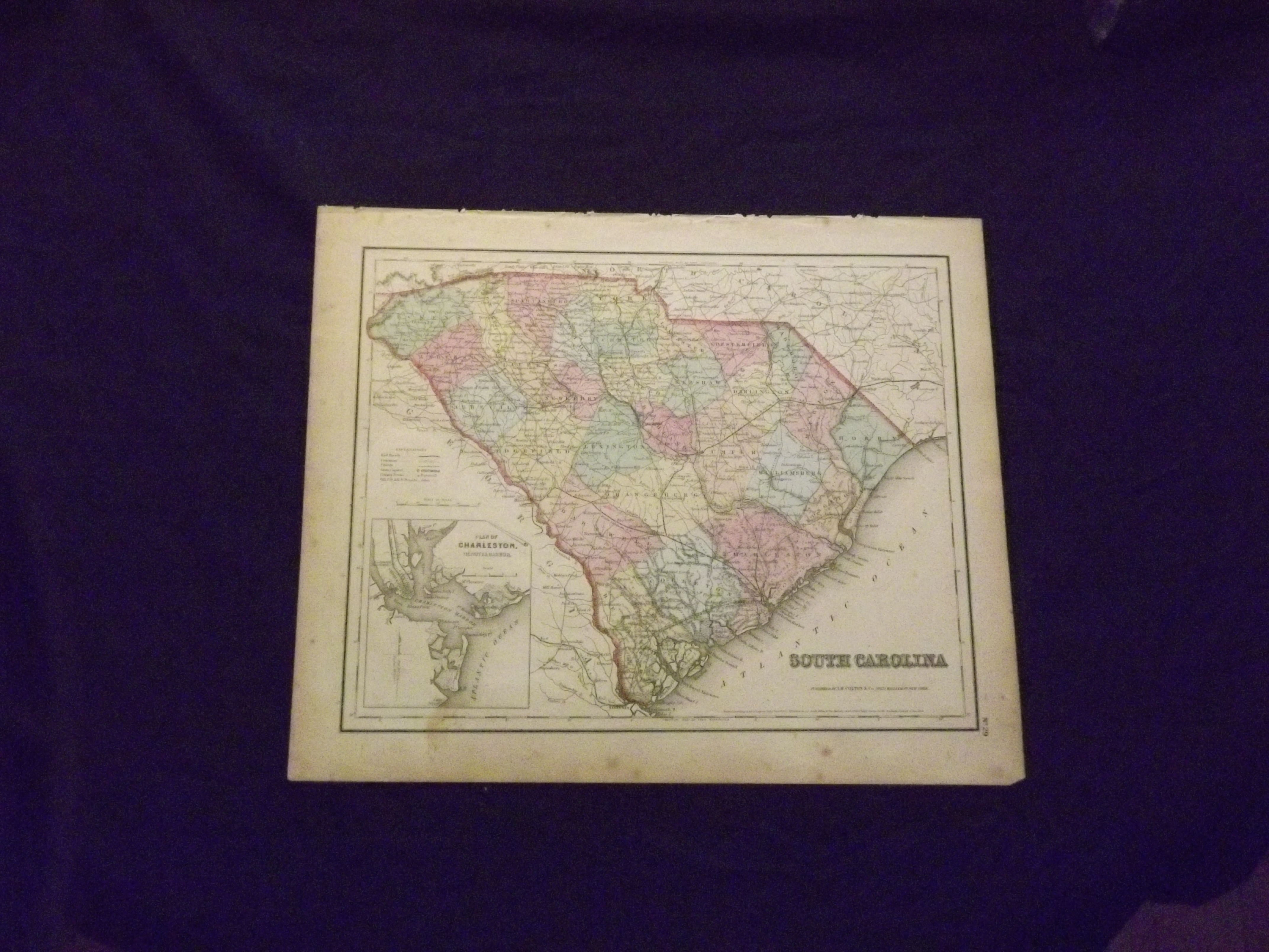
- New York: J.H. Colton & Co.,, 1857.
Unbound, colored engraved map, 16" x 13". Slight toning and aging, some soiling or staining, mostly in margins, archive tape repair to upper right margin, not affecting image; still bright and clean overall and in very good condition. Maps are wrapped with acid free board, or in rigid sleeves. Beginning with J. H. Colton (1800-1893), the Colton family published atlases for over 30 years. Colton's Atlas of the World was first published in 1855 in a large two volume set. In 1857 it became Colton's General Atlas, and Colton's sons, George Woolworth and Charles B. would take over the business. This pre Civil War map of South Carolina is from the 1857 edition of Colton's General Atlas, even though the copyright date on the map indicates 1855. The map is fairly colorful, provides good street detail, and includes a small inset map of Charleston. May require extra postage. Ristow 313-326.