Colton's Map of Canada East or Lower Canada and New Brunswick.
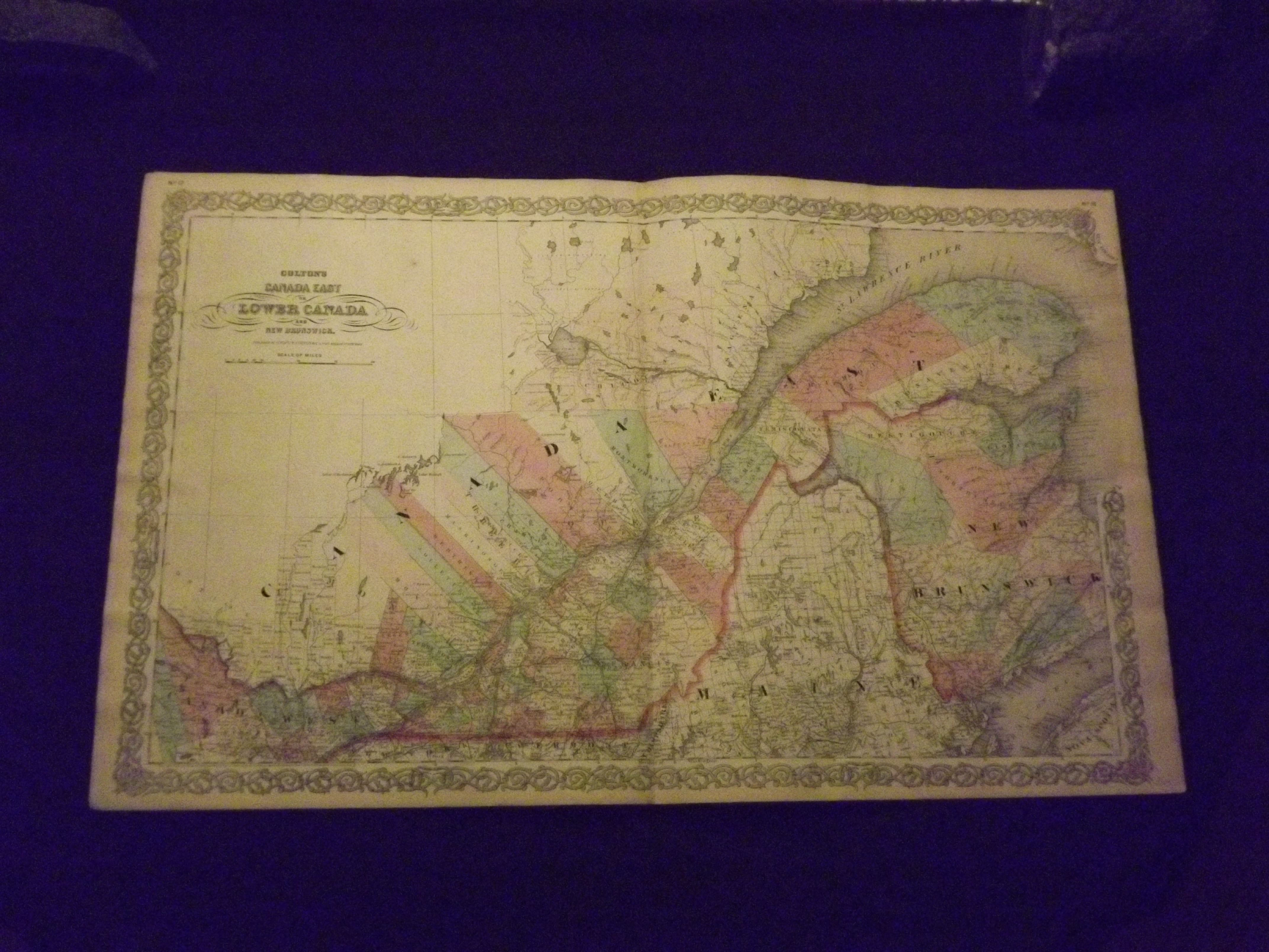
- New York:: G.W. & C.B. Colton & Co., 1866.
Unbound, colored engraved map, decorative boarder, double page 27" x 17". Slight toning and aging, and a little margin darkening, narrow bottom margin, which is as published; otherwise bright and clean and in very good condition. Maps are wrapped with acid free board, or in rigid sleeves. Beginning with J. H. Colton (1800-1893), the Colton family published atlases for over 30 years. Colton's Atlas of the World was first published in 1855 in a large two volume set. In 1857 it became Colton's General Atlas, and Colton's sons, George Woolworth and Charles B. would take over the business. This map of Eastern Canada is from the 1866 edition of Colton's General Atlas. This double page map is attractive and very colorful, and gives really good geographic detail. You can see part of Nova Scotia and Maine, and there is lots of detail along the St. Lawrence River. Map will be shipped folded at center fold.Ristow 313-326.