Colton's Map of New Brunswick, Nova Scotia, Newfoundland and Prince Edward Island.
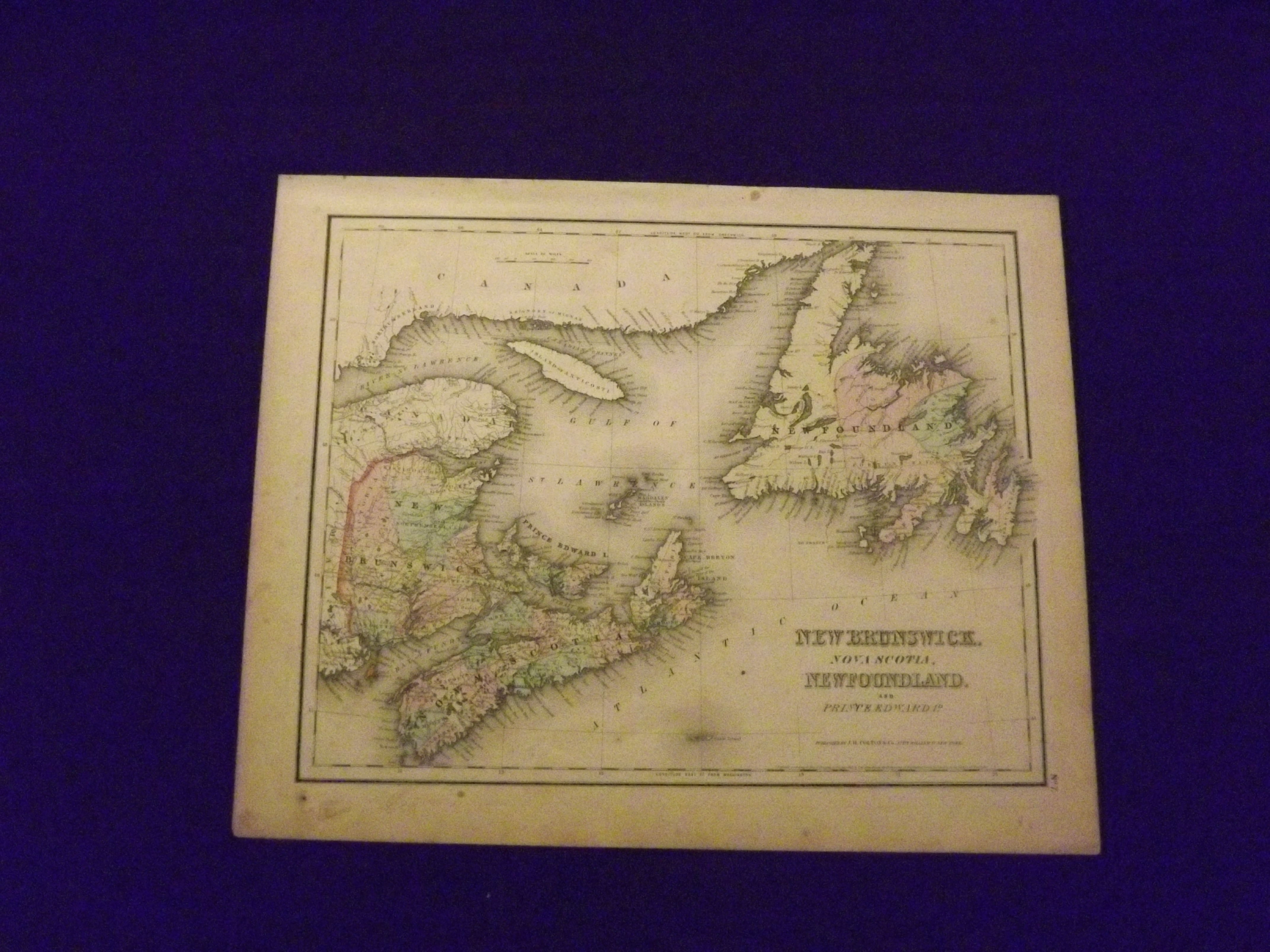
- New York:: J.H. Colton & Co.,, 1857
Unbound, colored engraved map, 16" x 13". Slight toning, aging, and a little margin darkening, foxing and finger soiling; overall still bright and clean and in very good condition. Maps are wrapped with acid free board, or in rigid sleeves. Beginning with J. H. Colton (1800-1893), the Colton family published atlases for over 30 years. Colton's Atlas of the World was first published in 1855 in a large two volume set. In 1857 it became Colton's General Atlas, and Colton's sons, George Woolworth and Charles B. would take over the business. This map of New Brunswick, Nova Scotia and Newfoundland is from the 1857 edition of Colton's General Atlas. An fairly attractive map, that has decent color and gives really good detail of this part of Canada. Extra postage may be required. Ristow 313-326.