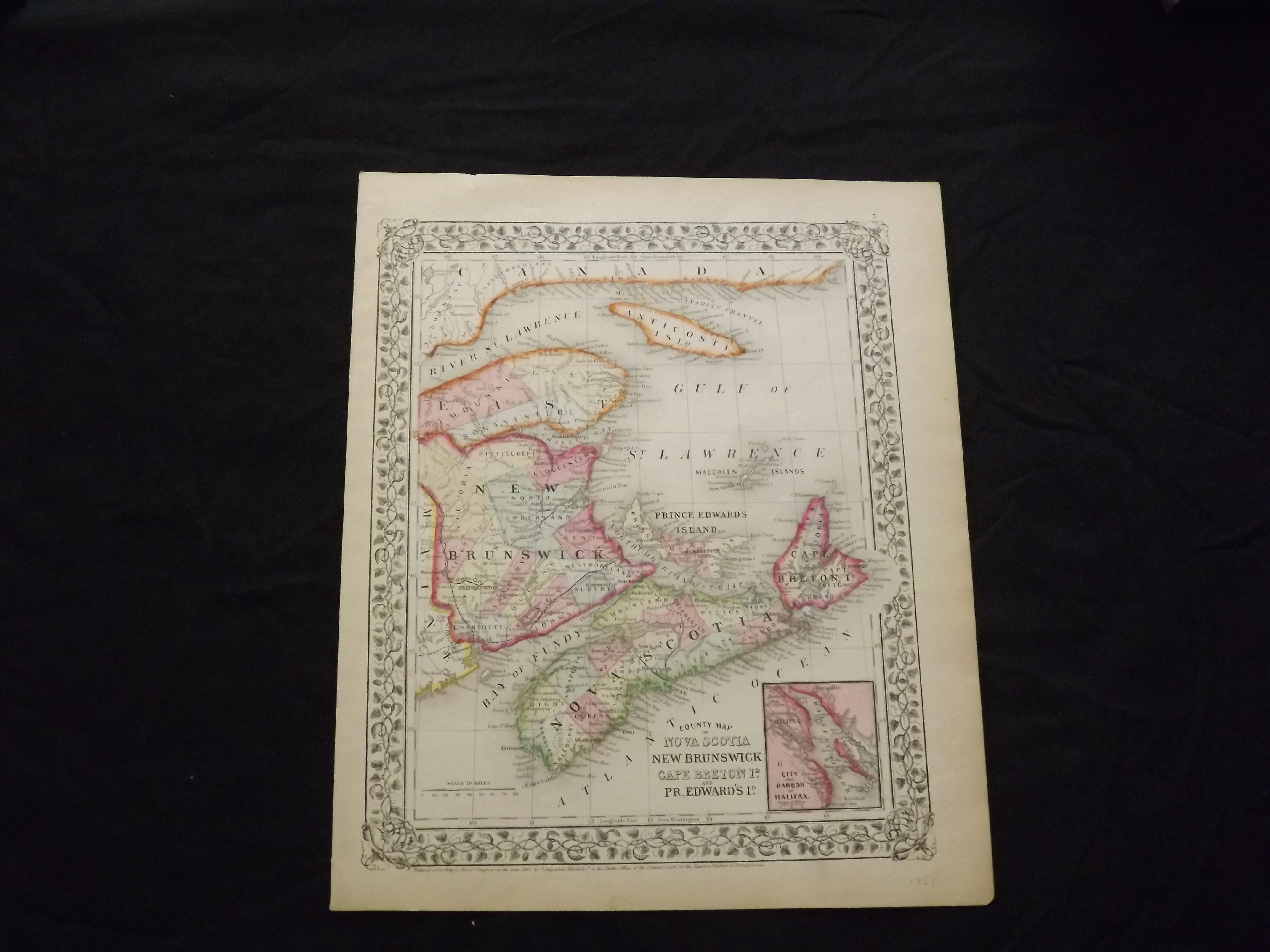
County Map of Nova Scotia, New Brunswick, Cape Breton Island, and Prince Edward Island.
- Philadelphia: , 1869.
Unbound, colored engraved map, decorative boarder, 14"x 11". Slight toning, browning and aging; overall very bright and clear and in very good shape. Maps are wrapped with acid free board, or in rigid sleeves. The Mitchell family started to produce atlases in 1846, and continued into the early 1890s. Around 1860, S. Augustus Mitchell Jr. took over, and the atlas would be called Mitchell's New General Atlas. This is a colorful map of a portion of eastern Canada from the 1869 installment of that atlas. The map is bright and crisp, and includes a small inset map of Halifax. Extra postage may be required. Ristow 311-313.