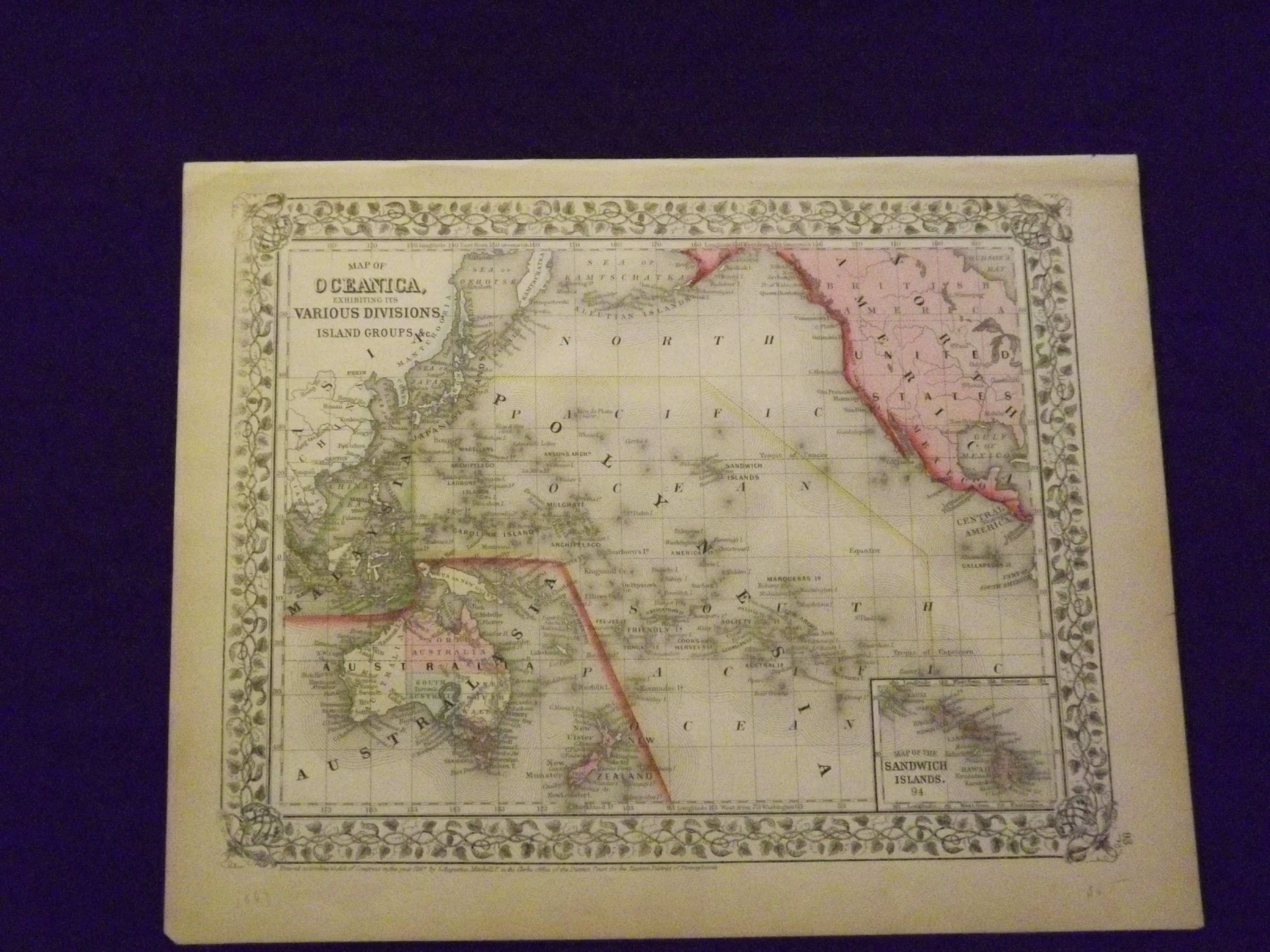
Map of Oceanica, Exhibiting its Various Divisions and Island Groups.
- Philadelphia: , 1869.
Unbound, colored engraved map, decorative boarder, 14" x 11". Slight browning and aging; overall generally bright and clean and in very good condition. Maps are wrapped with acid free board, or in rigid sleeves. The Mitchell family started to produce atlases in 1846, and continued into the early 1890s. Around 1860, S. Augustus Mitchell Jr. took over, and the atlas would be called Mitchell's New General Atlas. This is a very colorful map of Oceanica (South Pacific) from the 1864 installment of that atlas. The map includes the Polynesian Islands, Australia, part of the Chinese coast; part of the western portion of North America, and the Sandwich Islands is shown in a small inset. Extra postage may be required. Ristow 311-313.