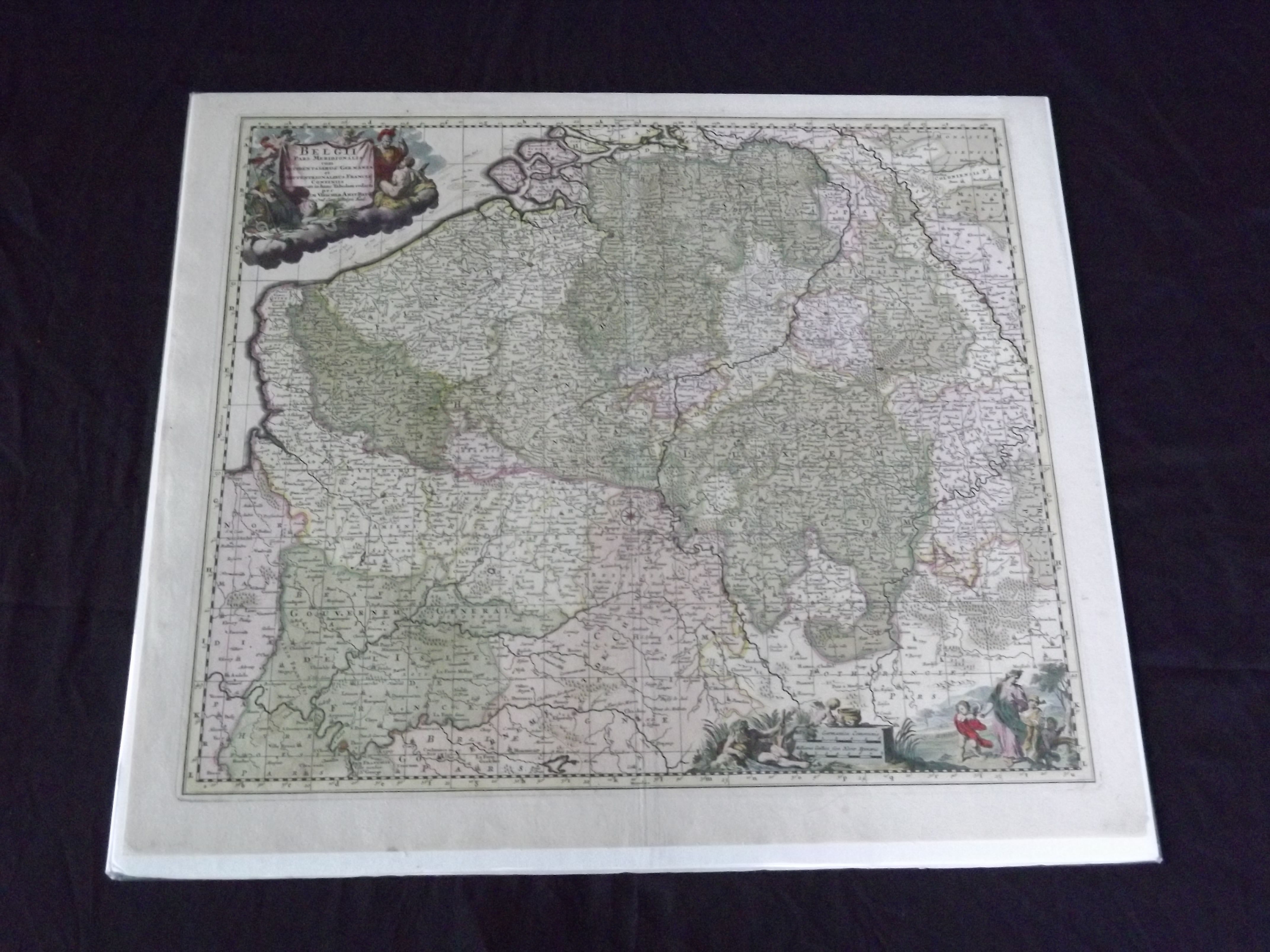
Belgii Pars Meridionalis cum Occidentalibus Germaniae et Septentrionalibus Franciae…
- Amsterdam: , c1690.
Double page engraved map (24" x 20 1/2"), hand colored, wide margins, decorative title cartouche. A few minor small chips and tears in margins, some fold tears repaired, minor aging; otherwise very good. Nicholas Visscher (1587-1637) started the Visscher map dynasty, which was continued by his son and grandson, also named Nicholas. The family was a dominant force during the golden age of Dutch mapmaking. The present shows Belgium, Luxembourg, part of France and Germany. Van De Gohm p 148.