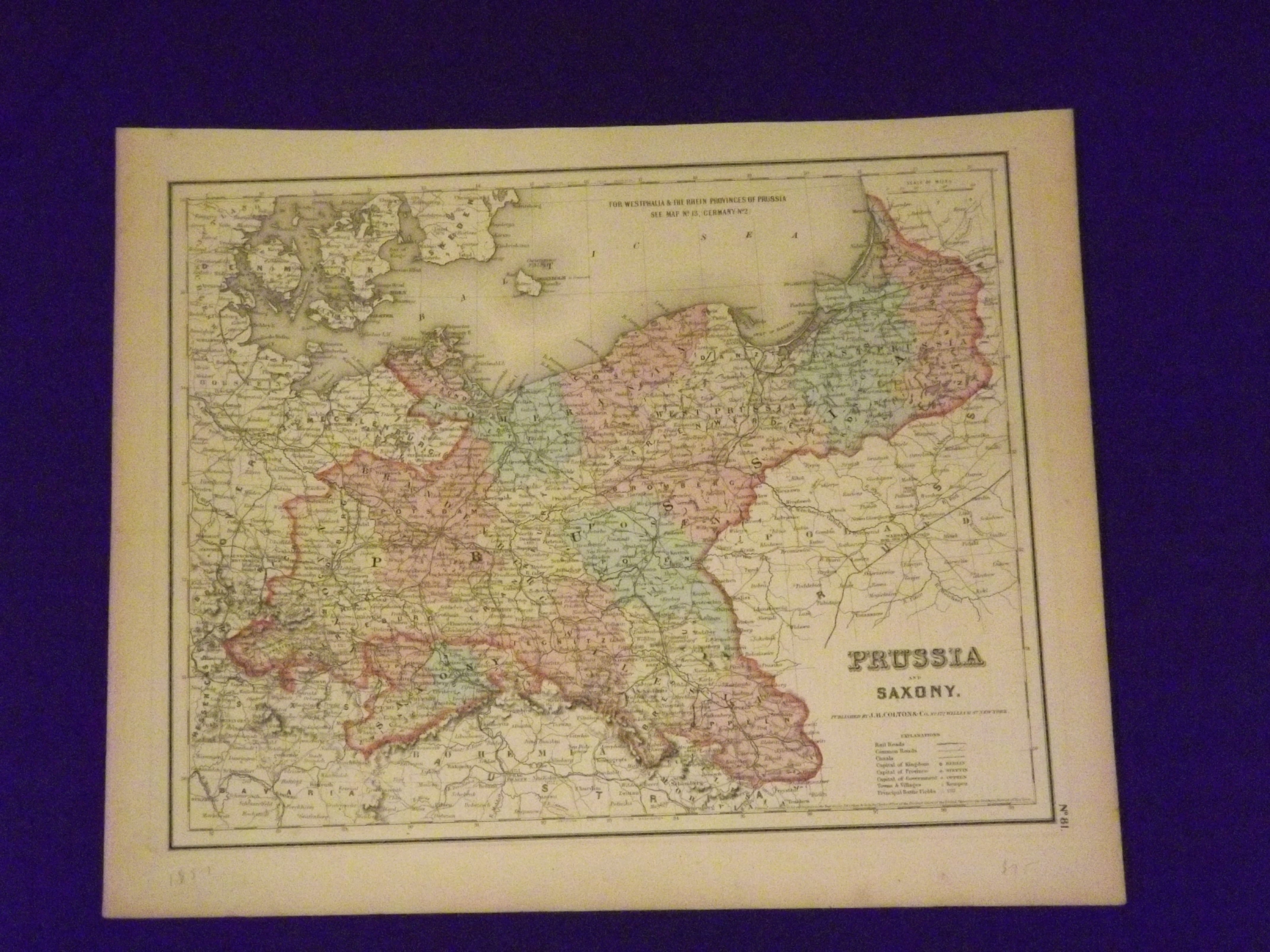
Colton's Map of Prussia and Saxony.
- New York:: J.H. Colton & Co.,, 1857.
Unbound, lightly colored engraved map, 16"x 13". Slight toning and aging; overall bright and clean and in very good condition. Maps are wrapped with acid free board, or in rigid sleeves.
Beginning with J. H. Colton (1800-1893), the Colton family published atlases for over 30 years. Colton's Atlas of the World was first published in 1855 in a large two volume set. In 1857 it became Colton's General Atlas, and Colton's sons, George Woolworth and Charles B. would take over the business. This map of Prussia and Saxony is from the 1857 edition of Colton's General Atlas, even though the copyright date on the map indicates 1855.. The map is very colorful, well balanced. and provides good detail.
Ristow 313-326.